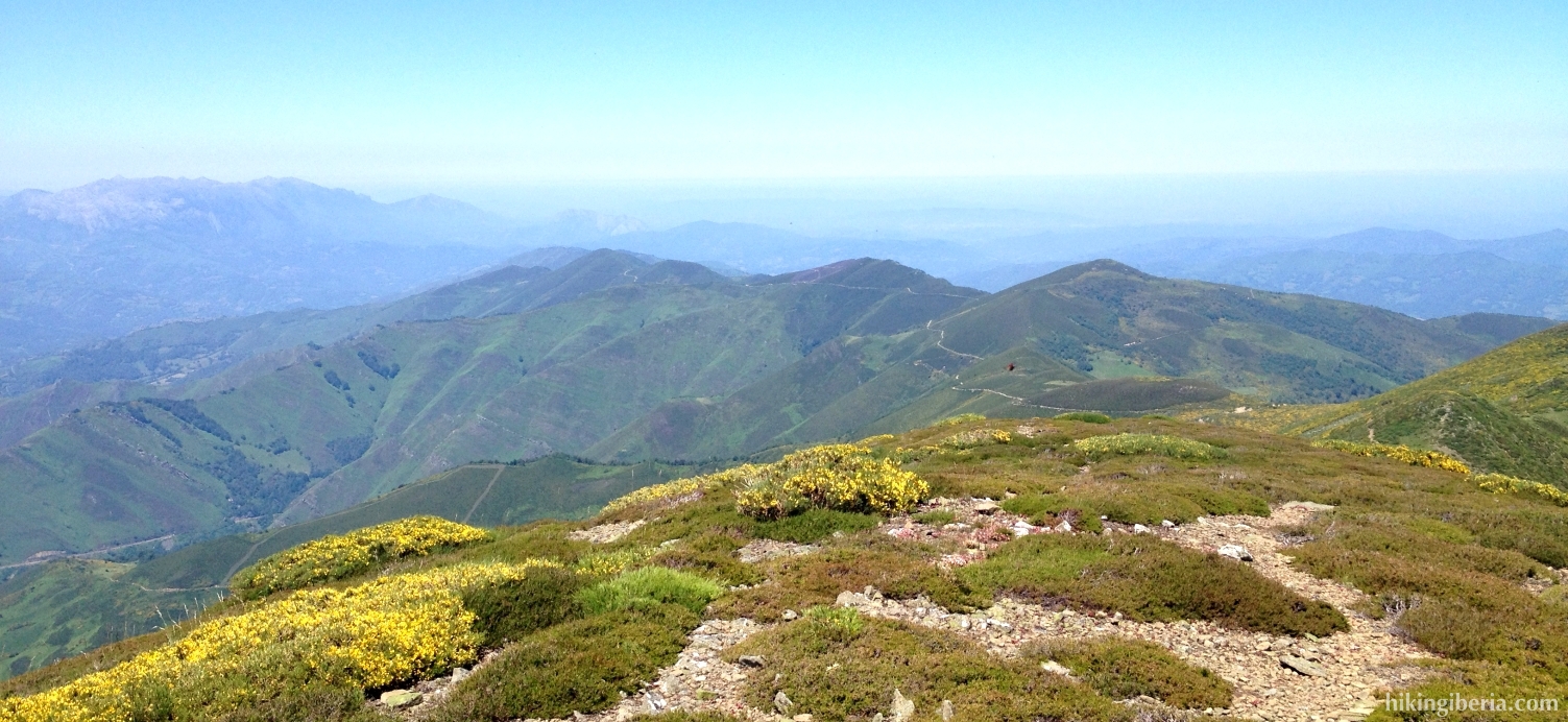
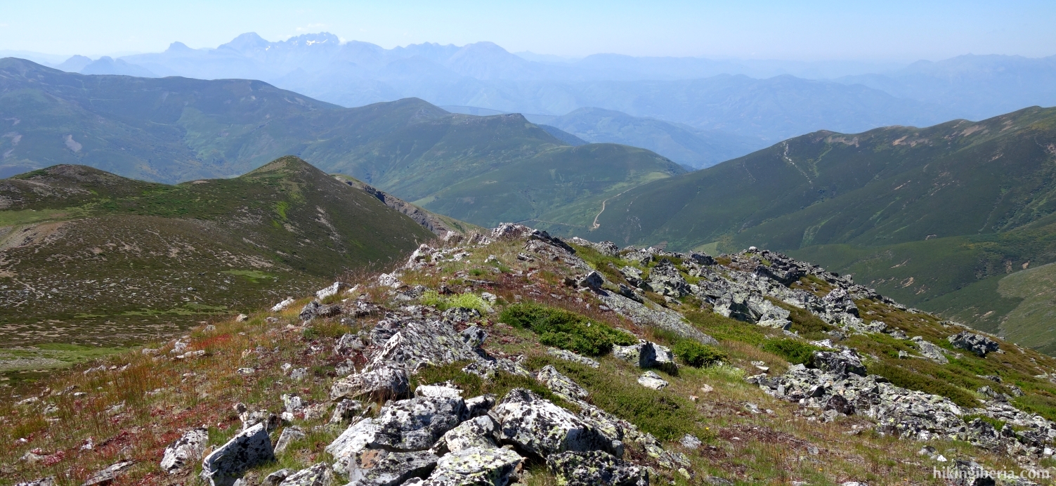
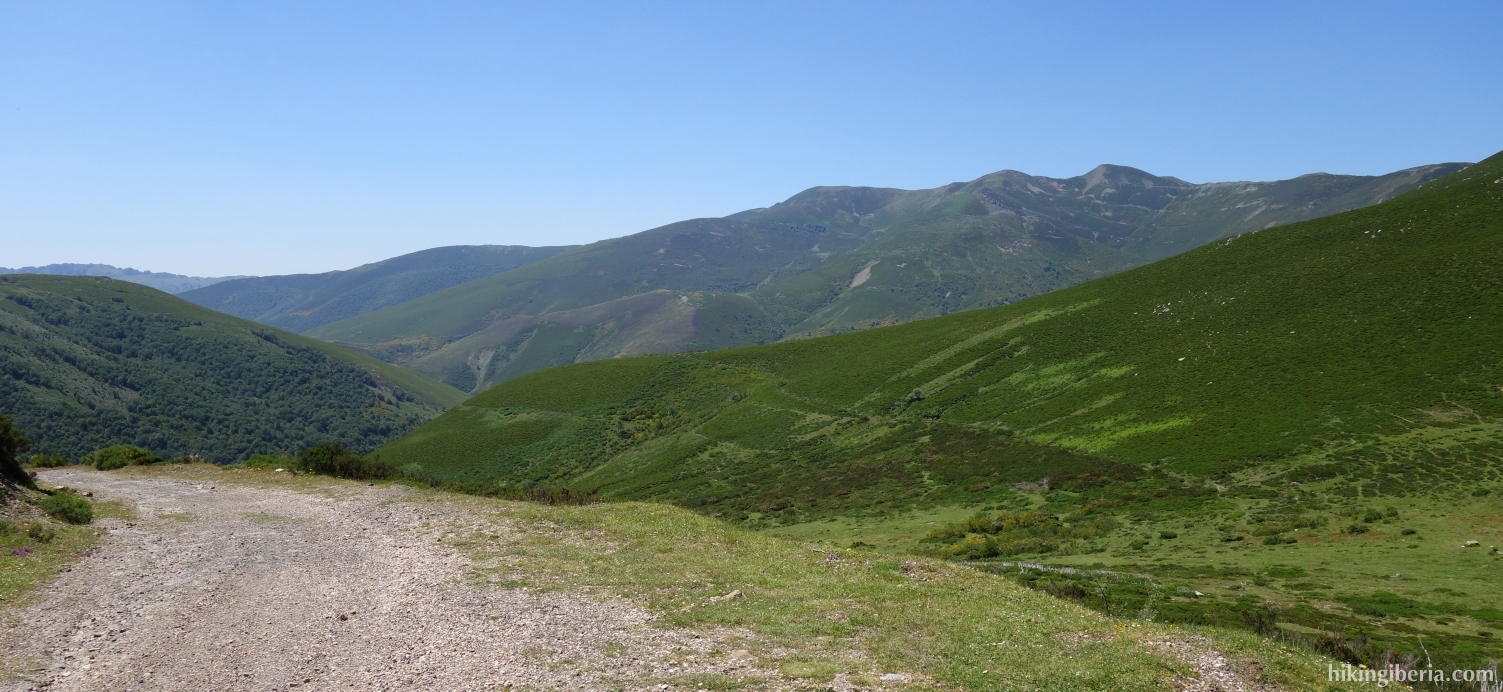
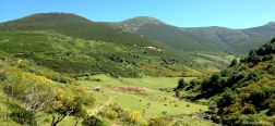
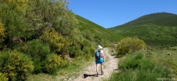
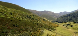
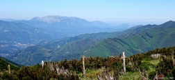
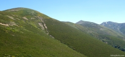
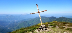
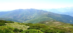
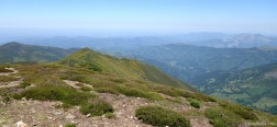
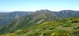
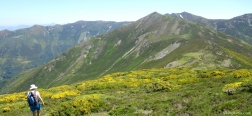
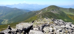
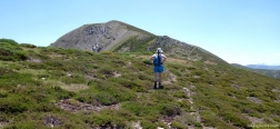
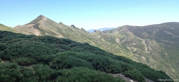
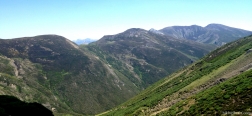
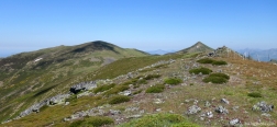
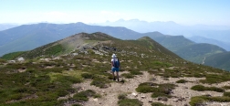
During this hike in the highest and most rugged part of the Alto Bernesga, we visit three peaks: the Pico Tres Concejos, the Pico de Pisones or Camparón and the Pico El Cuadro. Here we really walk in the heart of the central part of the Cordillera Cantábrica, on the border between León and Asturias, with great views 360 degrees around. At the start of the hike up to the Pico Tres Concejos we have to overcome quite some altitude difference in a short time, but after that both the ascent and descent are considerably more gradual. On the last part of the hike on numerous occasions a trail is missing and the orientation is a bit tricky.
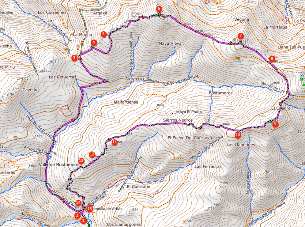
- After we have parked the car (1) we walk into the village and at the fork (2) go left onto a dirt road with a white-red marking. We go over a bridge and the road ascends slightly.
- We follow this gravel road all the time and ignore any side paths until the Pass Collado de Propinde (3), at 1,583 meters, easily to identify because of the sign there.
- Still before the cattle grid we turn right and we walk up the slope through the narrow path parallel to the fencing that lies to our left.
- Later the path turns away from the fencing to the right. At this part of the hike there are several paths, occasionally somewhat overgrown. Through the paths on which it is easiest to walk, we go first to the east and then to the north and we reach a group of rocks at the highest point of the slope (5).
- We go over these rocks and a bit further on see another path towards which we walk and which we further follow. The trail is regularly marked with milestones here. In this way we reach the first summit of this hike, the Pico Tres Concejos (6), at 2,014 meters.
- From this summit, we follow the path that runs parallel to the fencing, initially downhill and then uphill again. To our left appears the second summit of today, the Pico de Pisones/Camparón (7), at 2,043 meters. To it there is no clear trail, but the peak can easily be reached.
- From the top we walk downhill back to the path and follow the path further parallel to the fencing. At a certain moment this fencing turns to the left and we go through it through a passing. A little further on we go over a rock behind which the trail turns right (8).
- We now just follow this path to the Pico El Cuadro, which we see ahead of us. Through a somewhat steeper trail with stones we finally reach the Pico El Cuadro (9) at 2,089 meters.
- Once on the Pico el Cuadro we continue our route and we walk to a small peak that we see a little further ahead below us, the Pico Cuérravo (10). Beyond this peak we walk straight on and we pass another small peak which we pass on the left and then we further descend.
- From here, there is not always a clear path. To our left below in the valley we see the village of Pendilla and straight ahead a top at 1,700 meters (11), which we take as orientation. Once past the top we pass it on the right.
- Once behind this peak to the left we see another small peak (12), which we take as orientation without completely walking to it. Behind this small peak we find a not very clear discernible trail, which we follow for a while and which further on becomes more clearly discernible.
- We arrive at a group of rocks, which we pass on the right (13). From here it is difficult to find the route. Occasionally there is a path, sometimes not, but since we are not far from Pendilla, it is clear which way we have to walk.
- So we finally arrive at a path that runs between two walls (14) and ends in the village of Pendilla where we initially go straight ahead until we reach the Calle Pico Tres Concejos, which we follow and where at the end we go right (15).
- At the fork further on (2) we turn left, which brings us back to the car.

 NL
NL  IT
IT  DE
DE  ES
ES  EN
EN 
