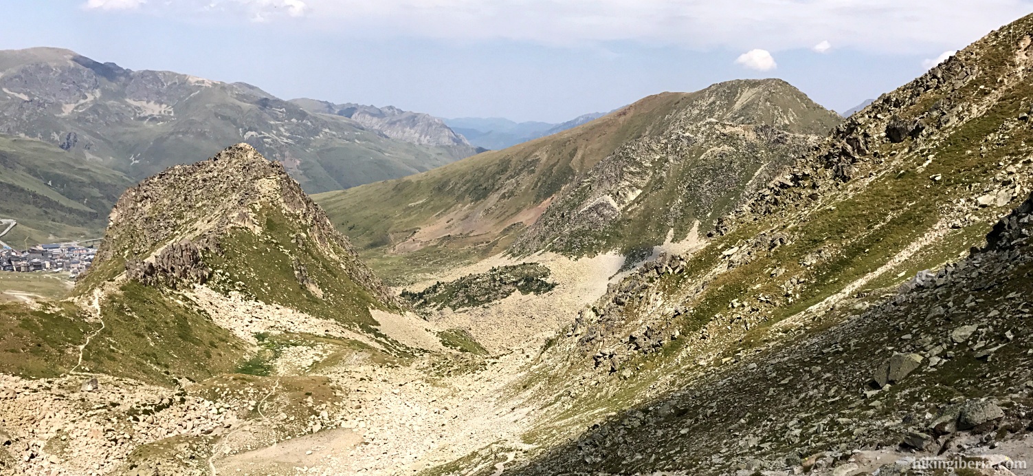
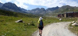
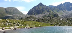
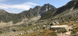
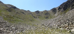
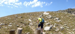
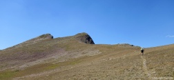
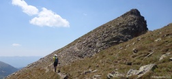
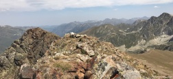
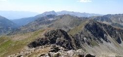
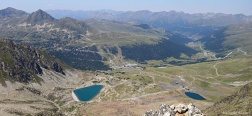
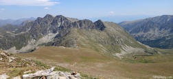
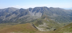
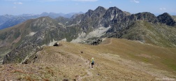
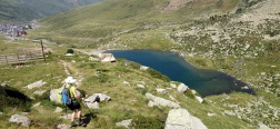
Pic Negre d'Envalira is with its 2,821 meters the second highest peak of the peaks of Envalira, a four-peak ridge on the border between France and Andorra. The highest peak is the Pic d'Envalira which is very close to the Pic Negre d'Envalira, but the Pic Negre with its vertical and steep face is the most aesthetic and attractive. The first part of the hike passes through the surroundings of the ski resort of Pas de la Casa, so it is not the most attractive, but in the second stretch we lose the views over the ski slopes and its gondola lifts and we can enjoy the high mountains of the Pyrenees.
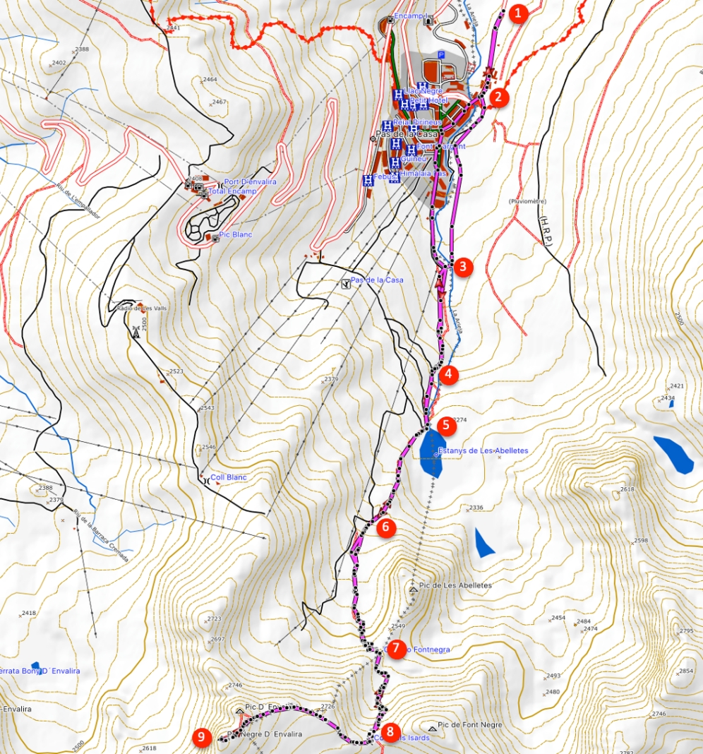
- From the car park (1) we walk to El Pas de la Casa and within less than ten minutes we enter a trail on the left (2).
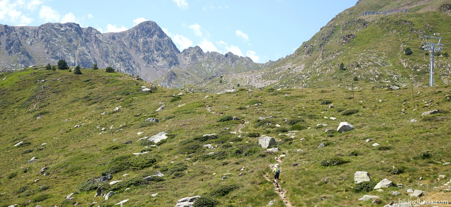
- We continue through the open field with El Pas de la Casa on our right side until we reach the stream l'Ariége (3), next to a ski lift. We cross the stream and continue on the trail that we find on the other side. Further on we find a trail to the right (4), but we continue to the left on a narrow trail.
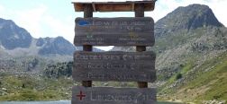
- In about 5 minutes we reach the lake Estany de Les Abelletes (5) where we take the trail on the right, which is signposted in the direction of Coll dels Isards.
- In about 10-15 minutes we come out on a wide path (6) where we continue to the left, all the time following the yellow dots.
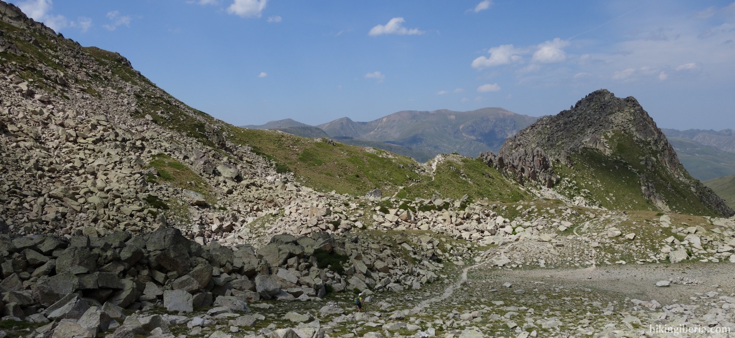
- Following the yellow dots we pass the Collado Fontnegra (7) and later reach the Coll dels Isards (8). We follow the points to the right westbound, to head towards the Pic Negre d'Envalira.
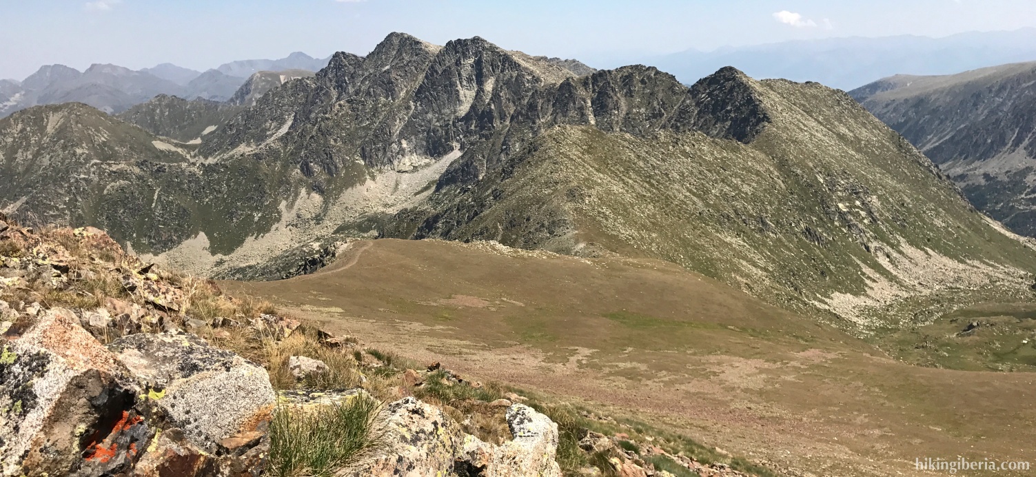
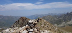
- On the last stretch we no longer see the yellow dots, but we do see some milestones. We reach the peak (9) and go back via the same route.

 NL
NL  IT
IT  DE
DE  ES
ES  EN
EN 