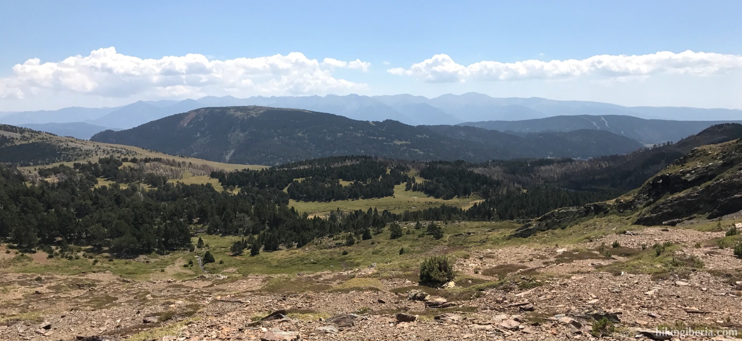
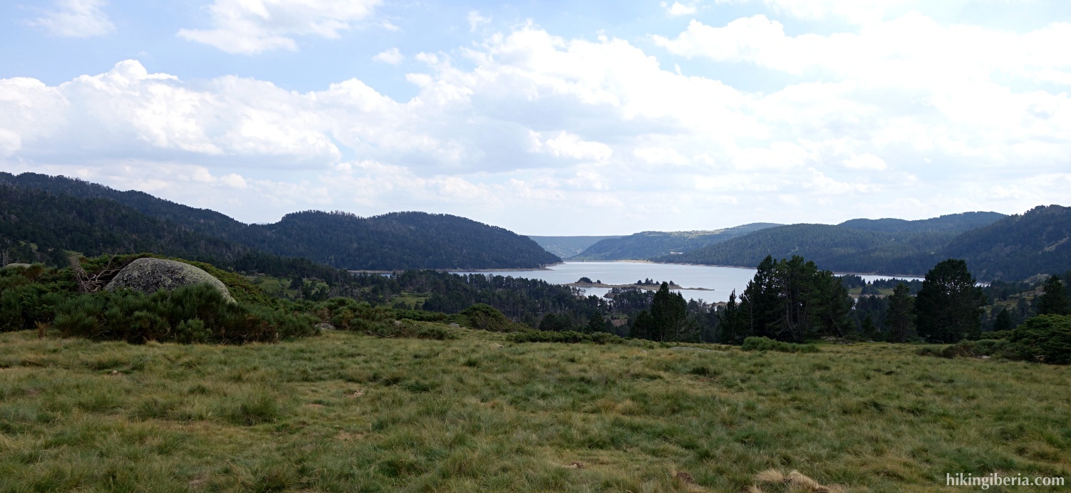
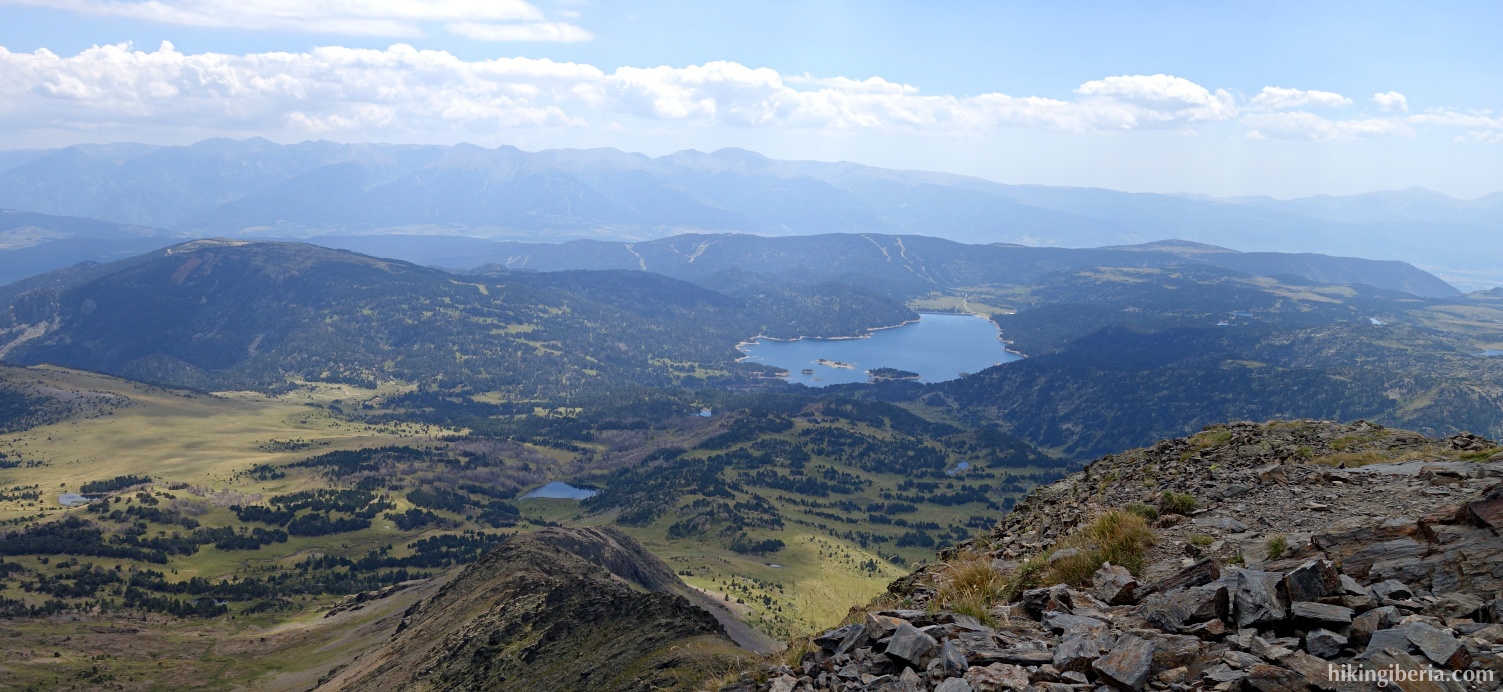
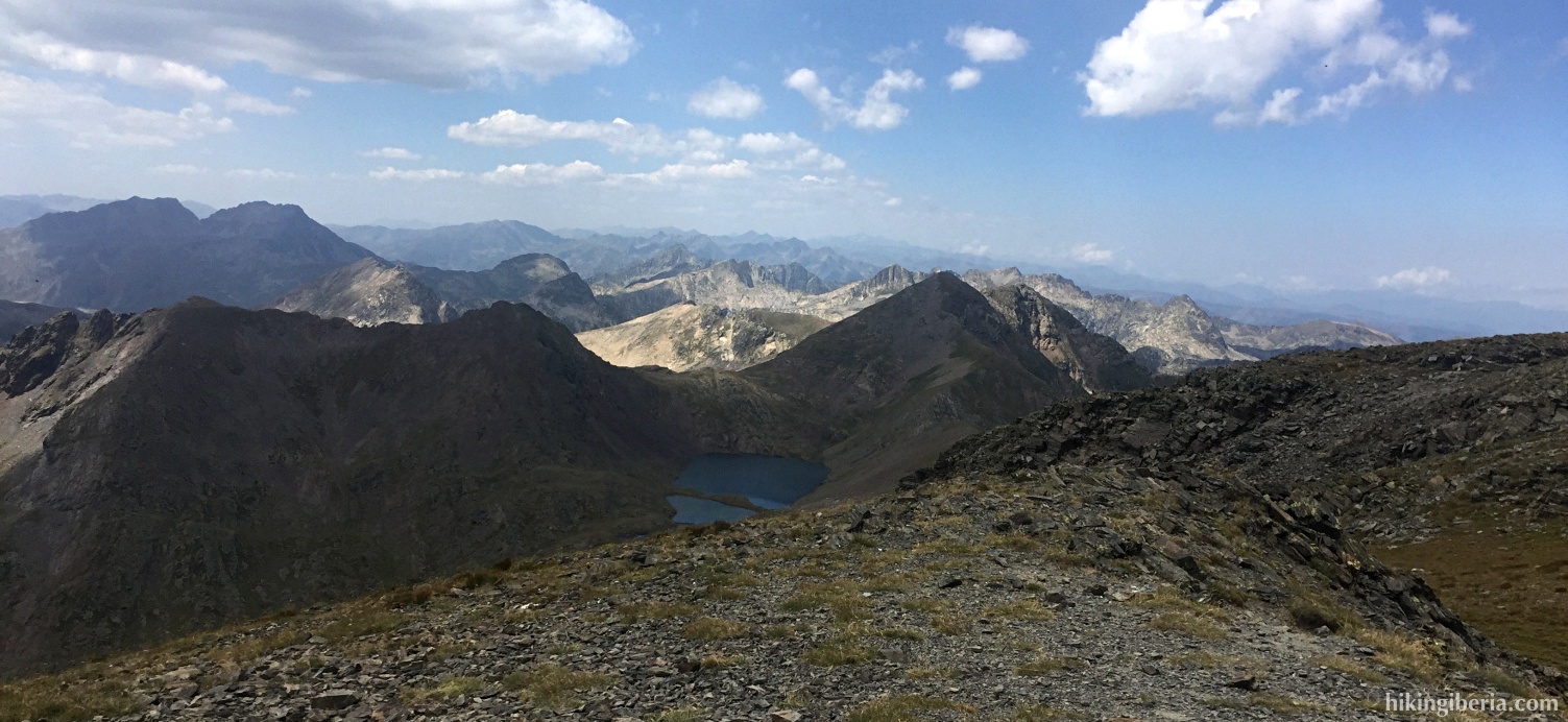
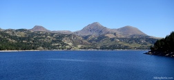
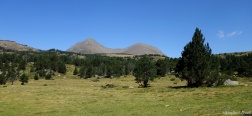
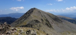
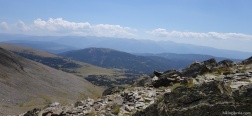
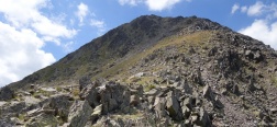
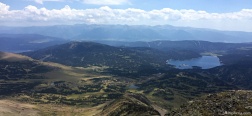
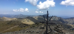
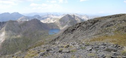
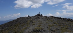
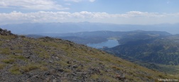
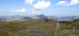
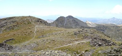
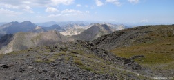
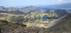
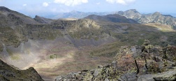
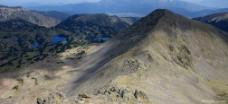
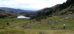
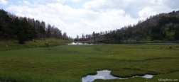
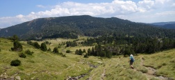
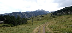
The Puig Peric, together with the Petit Peric, is with its 2,814 meters of altitude one of the most outstanding peaks of the Massif de Carlit for its prominence and isolation. The ridge on which the Petit Peric is located lies in an open environment so we have spectacular views over the massif and the lakes Lac des Bouillouses and Estany de la Llosa.
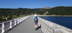
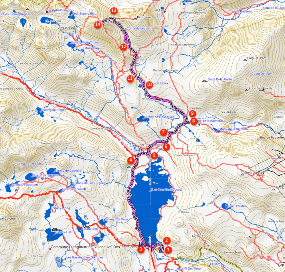
- From the parking lot (where the bus leaves us) (1) we go up to the dam (2) where we walk on the path over the dam, where we see white-red marks.
- On the other side of the dam, before reaching the refuge, we turn right (3), again signposted with white-red marks.
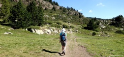
- We walk along the path that goes parallel to the lake and after about 45 minutes we reach a fork (4) where we turn right, leaving the GR-10. We follow the yellow markings, signposted towards La Balmeta / Tour du Capcir. After about 5-10 minutes we go over a bridge (5) and about 10-15 minutes later we go over another bridge (6), where at the fork we go left.
- In about 10 minutes we come out on a wide path (7), where we turn left. In less than 10 minutes we arrive at the Cabaña de la Balmeta (8). We follow the yellow/red markings of the path behind the rocks.
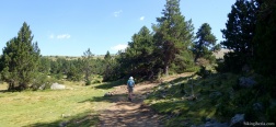
- About 10 minutes ahead (9) the trail continues to the right, but here we have to go straight on, on a somewhat narrower and less visible trail.
- Within half an hour we walk past the Estany de la Llosa (10), on our left hand. About 10 minutes later (11) we must be careful not to lose track. We cross a wide path, go straight ahead, cross another wide path and look for milestones to continue north/northwest.
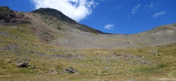
- In about 15 minutes we arrive at a col (12) to enter the Coma de la Llosa. The stretch from here is steeper and more stony.
- We ascend more than 200 meters to reach 2,630 meters of altitude, where we come out on a ridge between both peaks (13), the Petit Peric and Puig Peric. Going right we could go to Petit Peric, but we go left. We ascend about 185 meters more to reach the summit (14).
- The way back is via the same route.

 NL
NL  IT
IT  DE
DE  ES
ES  EN
EN 