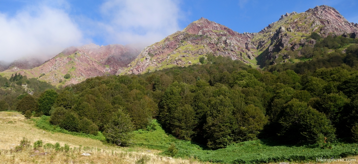
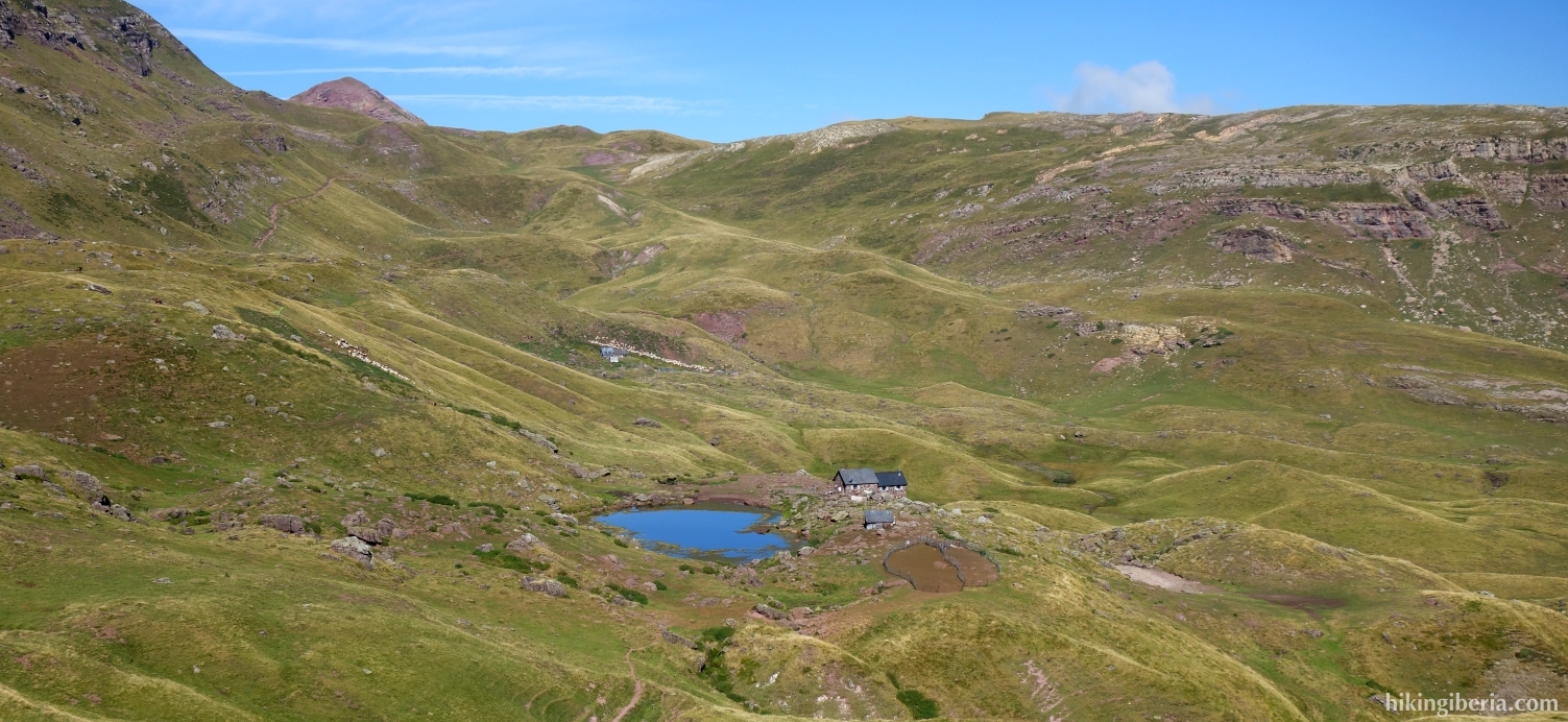
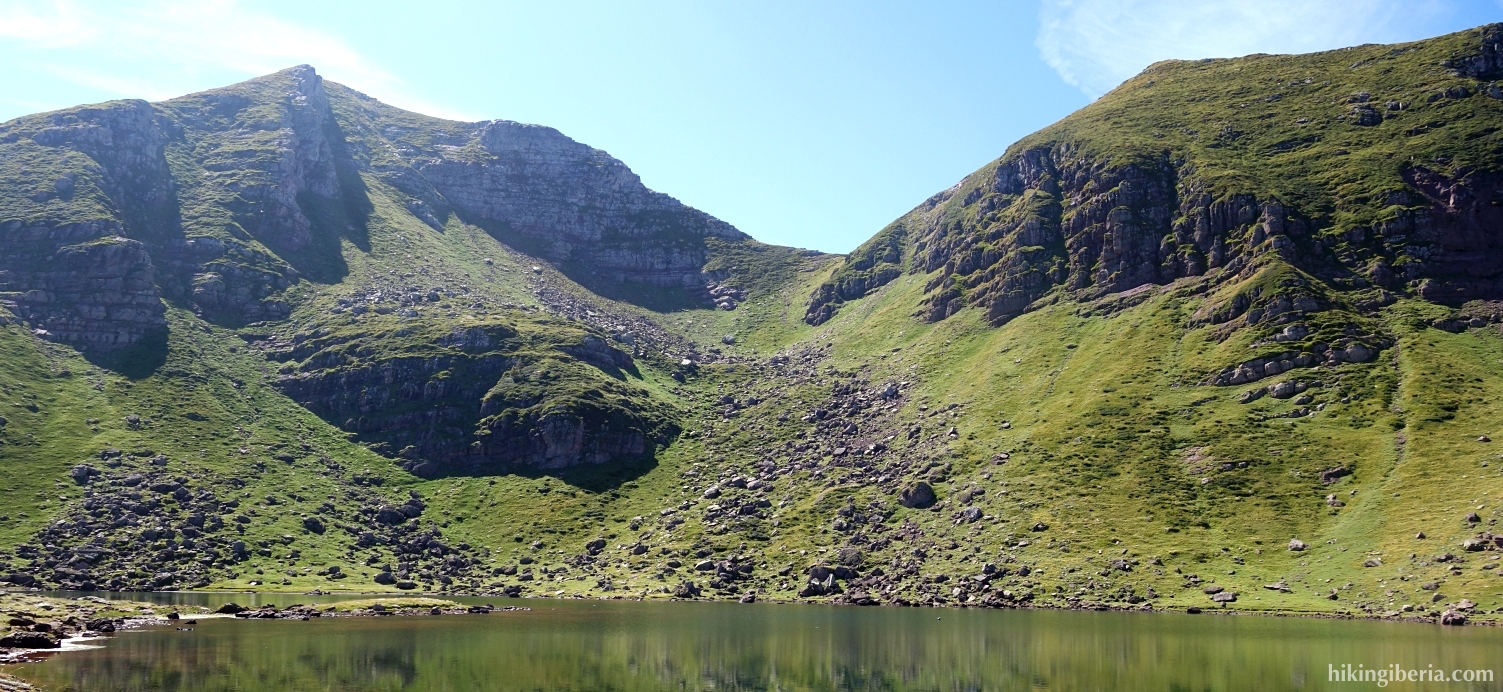
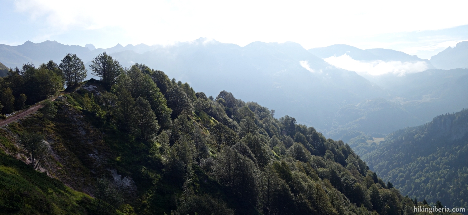
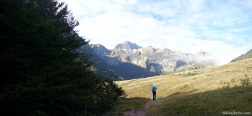
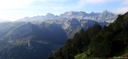
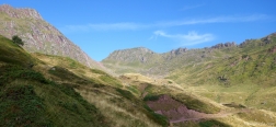
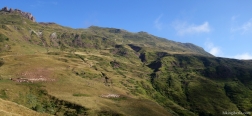
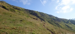
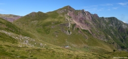
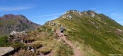
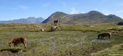
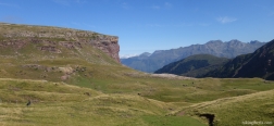
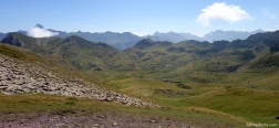
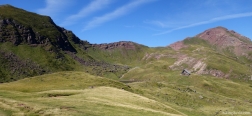
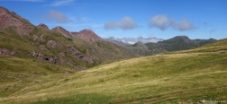
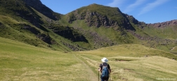
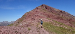
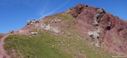
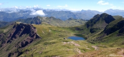
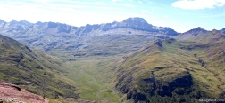
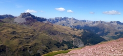
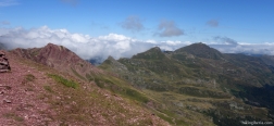
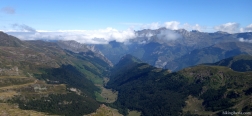
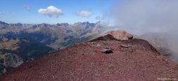
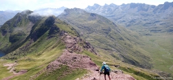
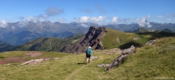
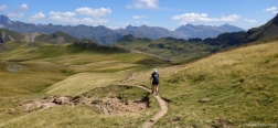
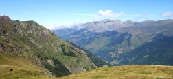
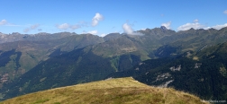
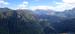
The Pic d'Aillary is with 2,215 meters the highest peak in the vicinity of the refuge and the lake of Arlet. The hike is located in the middle of the high mountains of the French Pyrenees near the Spanish border, and during much of the hike we have views all around on this so great mountain range. The hike to the top is relatively easy and the reward is great: fantastic views of the Lac d'Arlet and the surrounding Pyrenees.
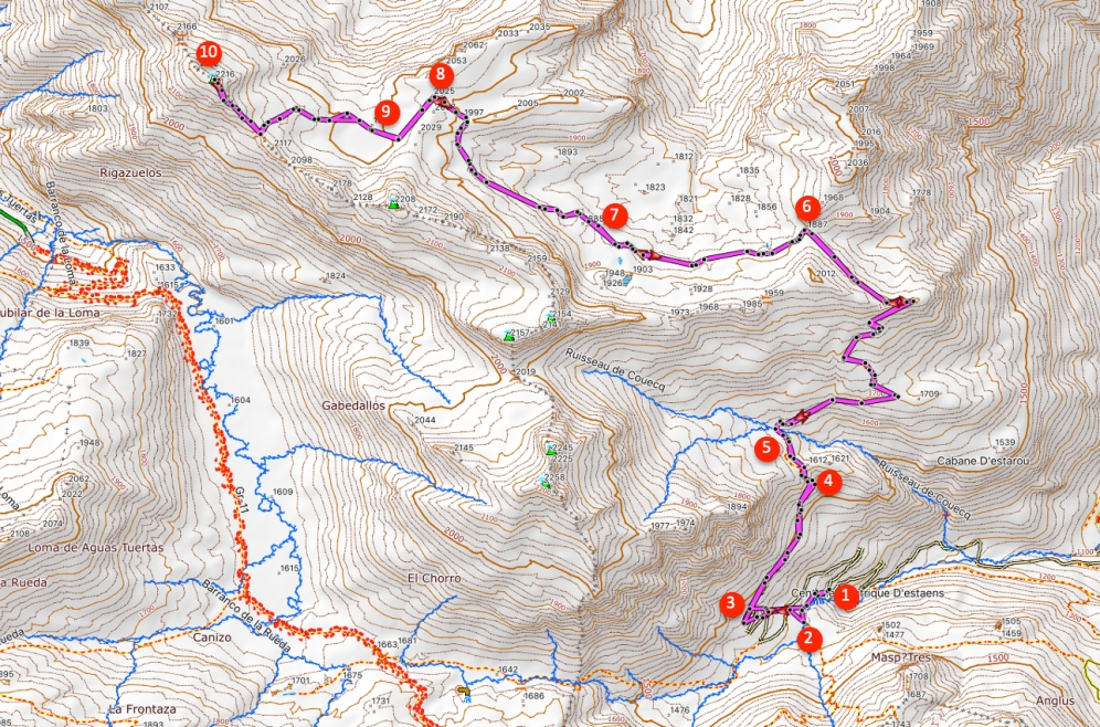
- Where we parked the car (1) we take a trail on the left side of the road, signposted towards Refuge d'Arlet.
- After 5-10 minutes we come to a bridge (2). Do not go over it, but turn right, towards the Refuge d'Arlet. In principle, we follow the course of the dirt road, but take some shortcuts. After about 10 minutes we come out again on the dirt road (3) which now runs right/straight on.
- The dirt road quickly turns into into a narrow trail and we ascend through the forest. When we are out of the forest we end up on a dirt road (4) where we turn left.
- After five minutes we arrive at a fork (5) with signposts, where we go straight ahead/right, towards Refuge d'Arlet.
- We follow the white-red marking and milestones on this trail, also when after more than an hour in a bend we follow the path further to the left (6).
- About 10-15 minutes later we ignore the path on the right (7) and continue straight on to the Refuge d'Arlet.
- Half an hour later we arrive at a pass (8) from where we see the Refuge d'Arlet and the Lac d'Arlet. We further follow the trail and arrive about 10 minutes later at the mountain refuge (9). Right behind the mountain refuge we take a trail to the left.
- We further follow this trail and ascend more than 200 meters to the top of Pic d'Aillary (10).
- The way back is via the same route.

 NL
NL  IT
IT  DE
DE  ES
ES  EN
EN 