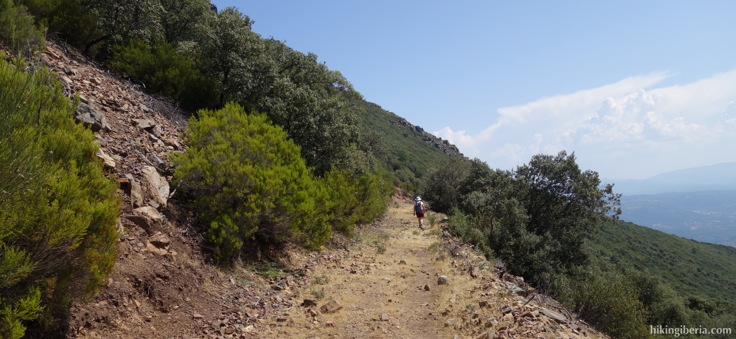
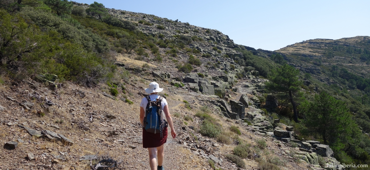
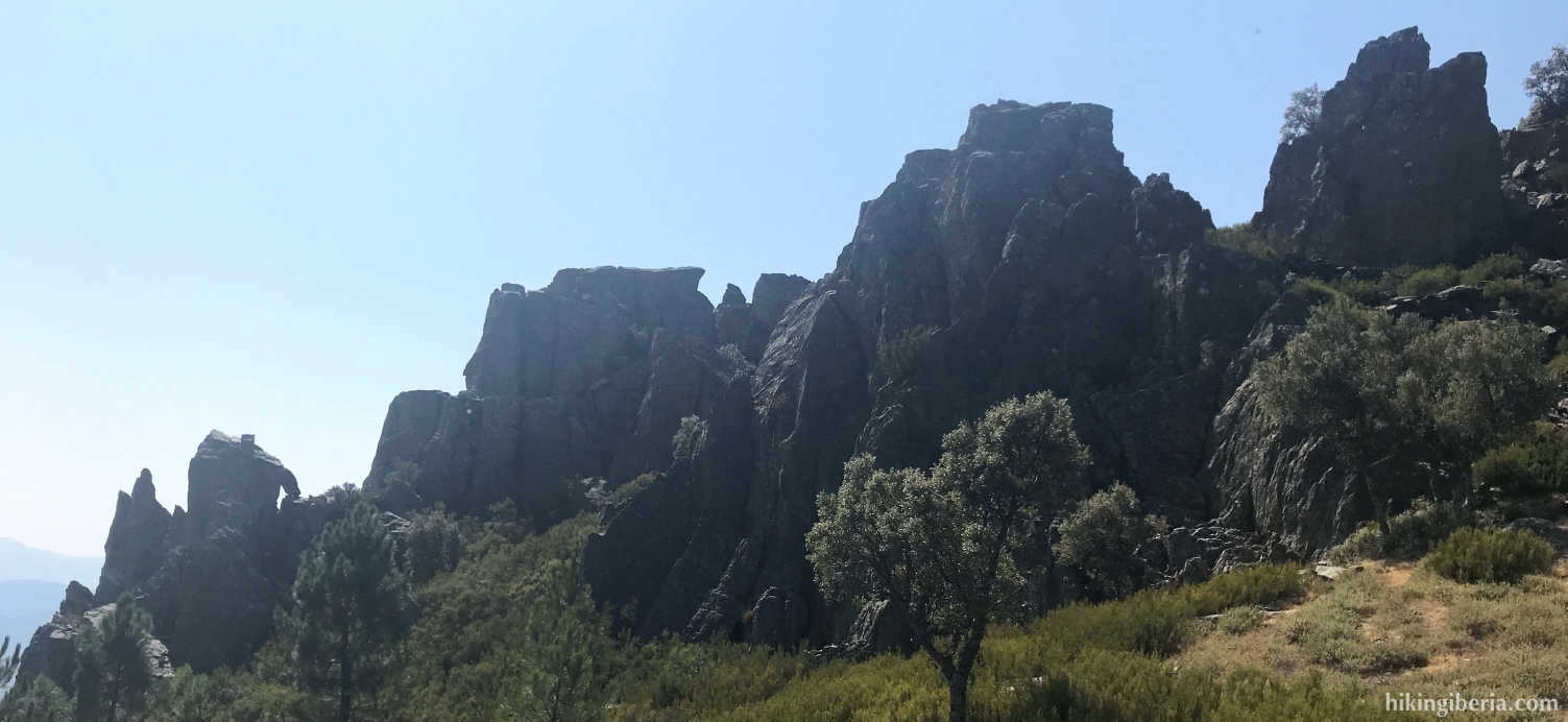
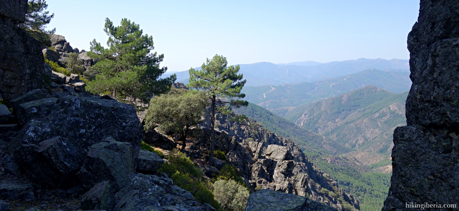
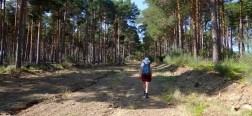
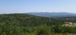
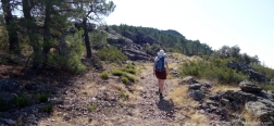
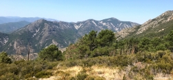
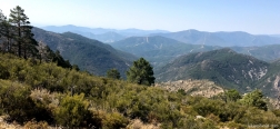
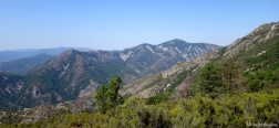
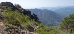
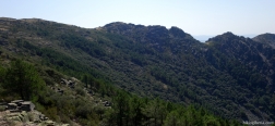
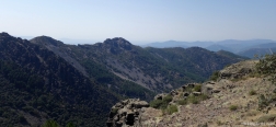
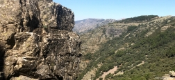
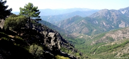
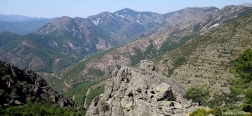
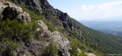
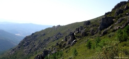
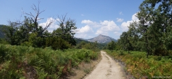
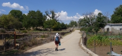
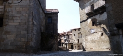
This hike goes through the mountains in the immediate vicinity of the picturesque town of La Alberca, through Las Batuecas and the Sierra de la Alberca. Especially the first part of the hike, through the Batuecas, Risco de Acebos and La Halconera is beautiful, because there we walk through a spectacular rocky landscape. The second part of the hike takes place via dirt roads through the forest, back to La Alberca.
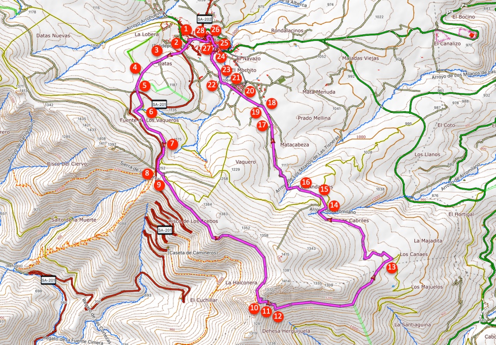
- Walk on the Avenida de las Batuecas (1) further uphill out of the village. At one point the road turns to the left with a bend (2) and here we turn right onto a gravel path, at a signpost of the PR-SA-10.
- After five minutes we ignore a path / fire break to the left (3). A little further on, at a fork, we keep to the left and follow the signpost of Las Batuecas.
- About five minutes later we cross a wide path (4) and go straight ahead, marked with white-yellow marking.
- A little further on, just before an asphalt road, we keep left at the fork (5) onto a narrow trail. We then cross the asphalt road and continue the marked path.
- A little further on, a path splits off on the left (6) but we keep to the right and follow the mark. After 15 minutes (7) we leave the wide path and go right onto a narrower path, again marked white-yellow.
- Five minutes later we arrive at the viewpoint Mirador el Portillo (8). Behind the car park we go left onto a gravel path, no longer marked white-yellow. Five minutes later at a fork (9) we hold on to the right.
- We now walk on a very nice path with a very nice view. After fifty minutes we come to a pass (10) where we see milestones both left and right. We go straight ahead here on the path, downhill, that then turns to the left.
- A little further on, the path splits (11) and we take the path to the right, downhill, following the milestones. We descend for 10 minutes via a slightly steep path with loose stones to a wider path (12) where we turn left.
- Half an hour later, the path ends on a dirt road (13) and we turn left. From here, the path is marked white-yellow again. Twenty minutes later, the path splits (14) and we hold on to the left.
- A few minutes later we leave the dirt road in a bend (15) and turn right onto a trail, which is marked white-yellow and signposted towards La Alberca.
- A few minutes later (16) we follow the white-yellow marking to the right and we do not take the wide path on the left. Fifteen minutes later we ignore the path that comes from the left (17).
- A few minutes later we ignore the white-yellow marking to the right (18) and go past the white-yellow cross to the left. Immediately after that we cross a wide path (19) and go straight ahead.
- We now walk on a dirt road with the Peña de Francia right in front of us. After five minutes we reach the outskirts of the village of La Alberca (20) and walk straight ahead, into the Calle Robles.
- At the end of the Calle Robles (21) we turn left, into the Calle Jaras. A little further at the fork (22) we keep to the right, following the white-yellow marking.
- A little further we keep to the right (23), further downhill, following the marking, into the Calle los Prados.
- The Calle los Prados turns to the right, we walk past the church (24), walk around the church and turn right into the Calle José Pena Rodriguez. At the end of the street we turn left, into the Calle la Puente.
- We come out at the Plaza Mayor and turn right into the Calle Tablado (25). We do not walk entirely to the end of this street but turn left, into the Calle Don Luciano Barcala (26).
- Consecutively we turn left into the Calle Pedragal and then turn right again (27) into the Calle Fuente Canal. We come out again on the Avenida de las Batuecas (28) where we turn left and walk back to the car.

 NL
NL  IT
IT  DE
DE  ES
ES  EN
EN 