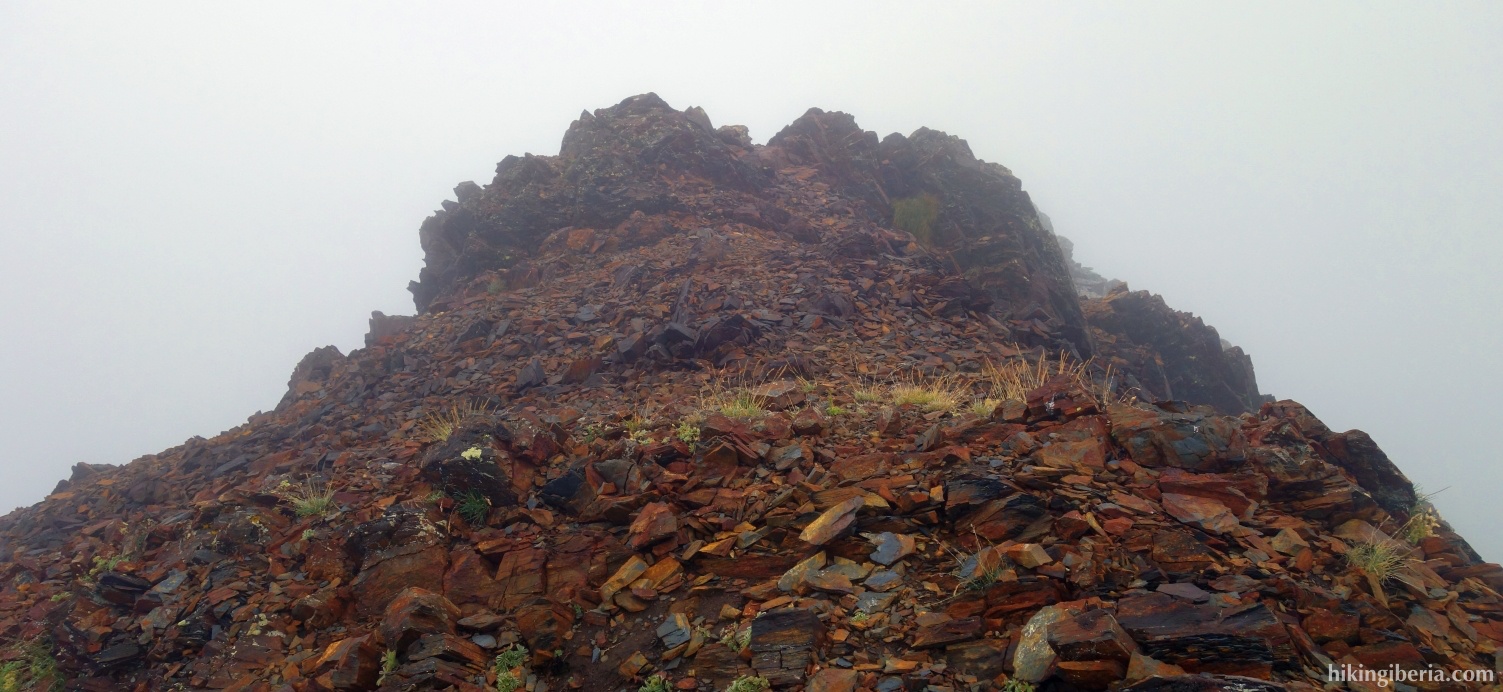
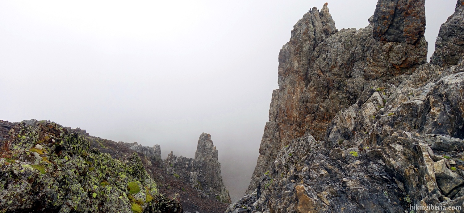
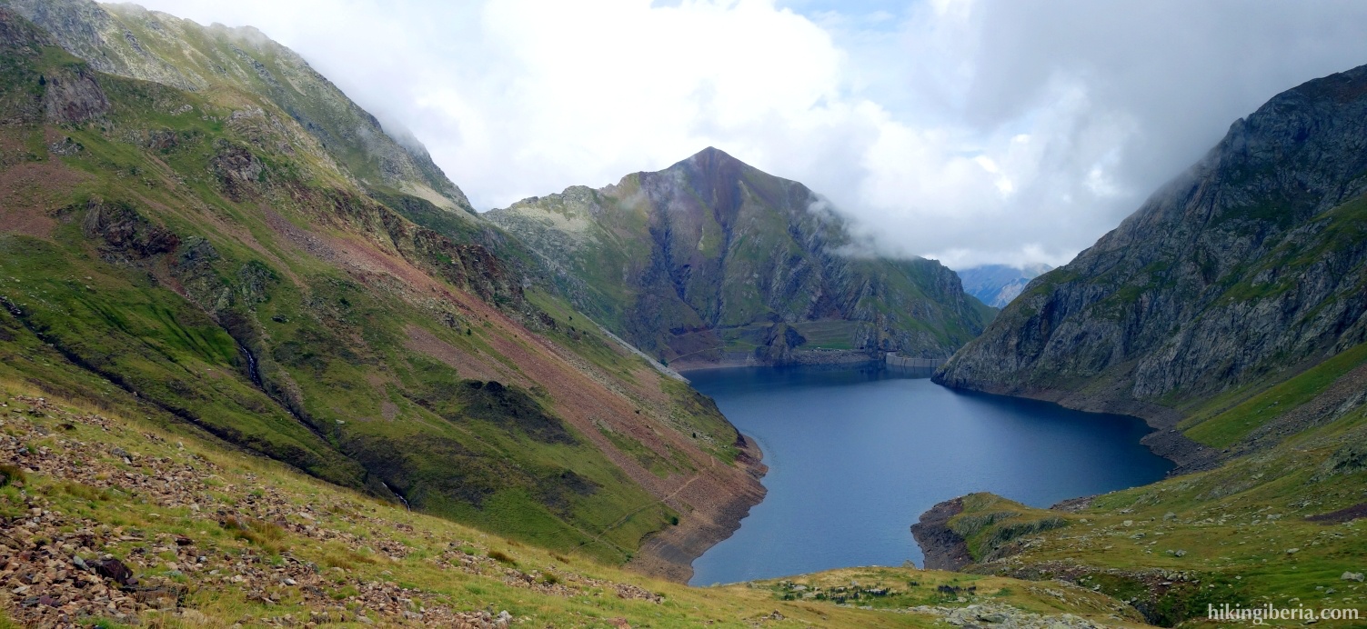
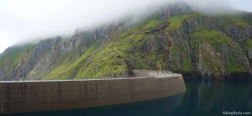
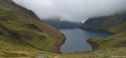
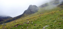
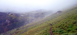
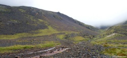
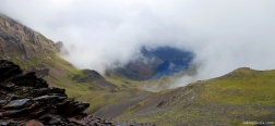
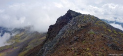
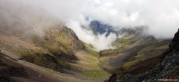
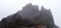
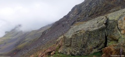
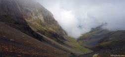
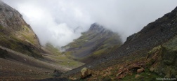
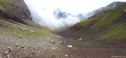
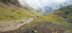
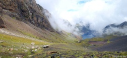
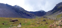
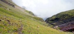
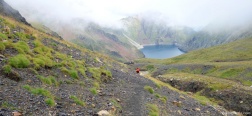
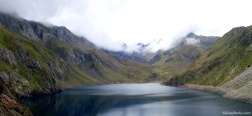
The Pico de Llauset is a peak of just above 2,900 meters near the Llauset Reservoir, in the Pyrenees of Aragón, not far from Catalonia and the National Park of Aigüestortes i Estany de Sant Maurici. On the way to the Pico de Llauset we first pass the peak of the Tuca de Guadieso. On the descent from the Pico de Llauset to the Collado de Llauset we occasionally have to use our hands and try to avoid the loose stones.
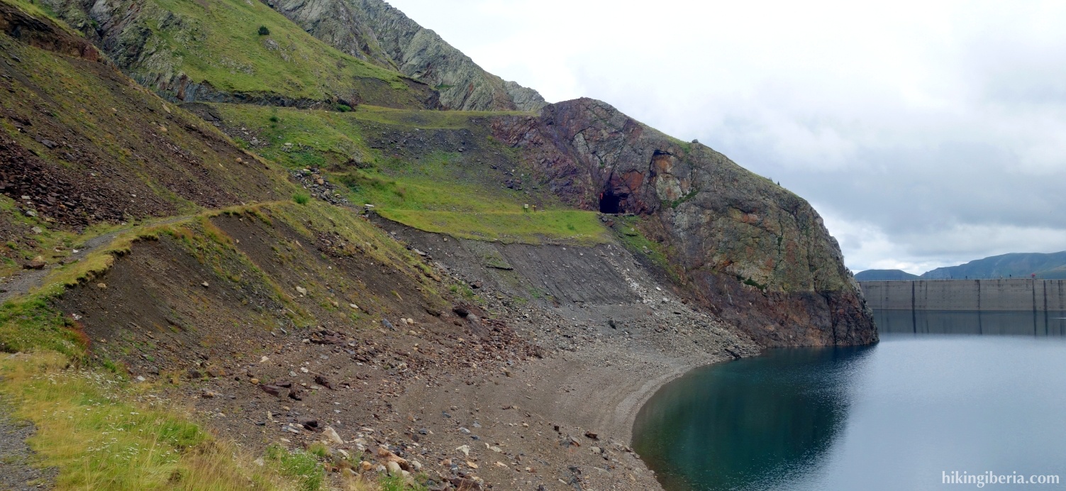
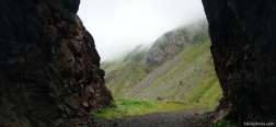
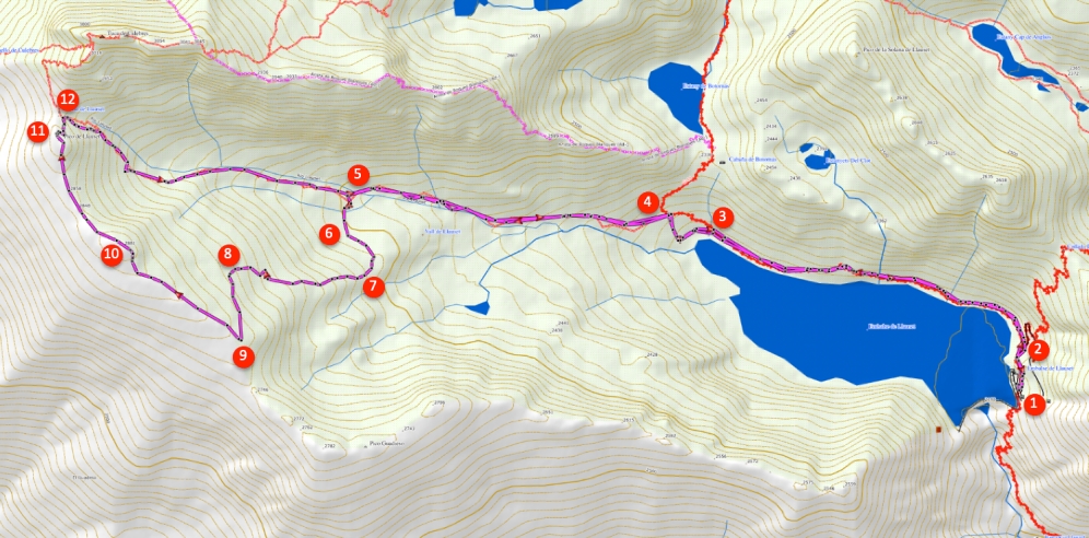
- From the Llauset Reservoir (1) we walk through a small tunnel and behind the tunnel the path splits (2). Here we keep to the left on the path along the reservoir.
- After half an hour's walk, at the end of the reservoir, at a fork, we take the trail on the left (3), marked white-red. More than five minutes later, we leave the white-red marking and we therefore do not go towards the Refugio Cap de Llauset and we turn left (4), past the cross of the white-red marking.
- After more than half an hour, the trail to the Collado de Llauset continues straight on, but we turn left, over the river Río Llauset (5) and follow a trail marked with milestones.
- We walk up the slope via a not clearly visible trail, first in an easterly direction, initially in the direction of an ibón (6) and higher up the mountain we turn in a westerly direction (7).
- Further on (8) we turn in a southerly direction to walk the last stretch to the ridge. Once on the ridge (9) we turn in a northwestern direction and walk over the ridge.
- We pass the top of the Tuca de Guadieso (10) and finally reach the Pico de Llauset (11).
- From the top of the Pico Llauset, a small steep trail descends to the right towards the Collado de Llauset (12). Avoid the loose stones here. Once on the Collado de Llauset, we keep to the right and follow the trail parallel to the Río Llauset.
- This trail further on takes us back to the fork where we left the trail earlier (5). From here we walk back to the Llauset Reservoir via the same route.

 NL
NL  IT
IT  DE
DE  ES
ES  EN
EN 