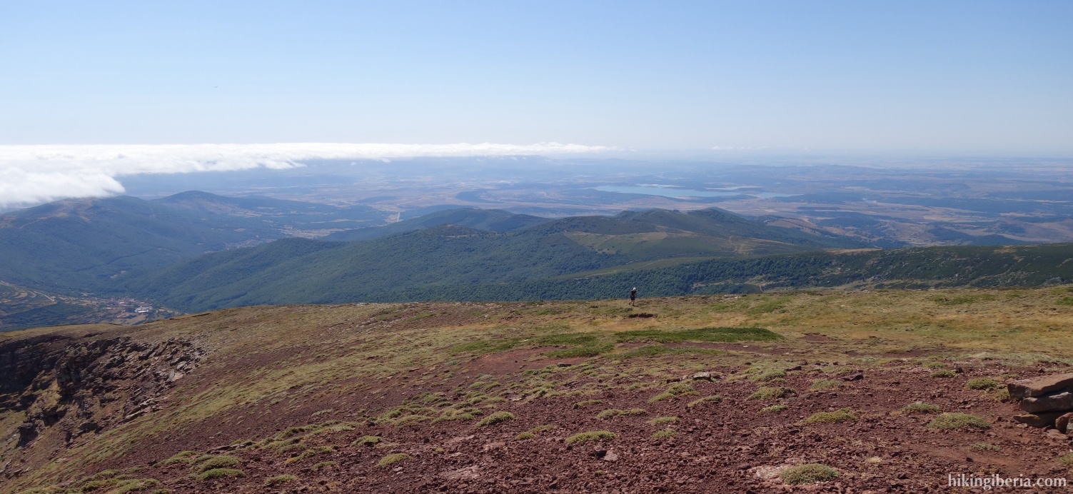
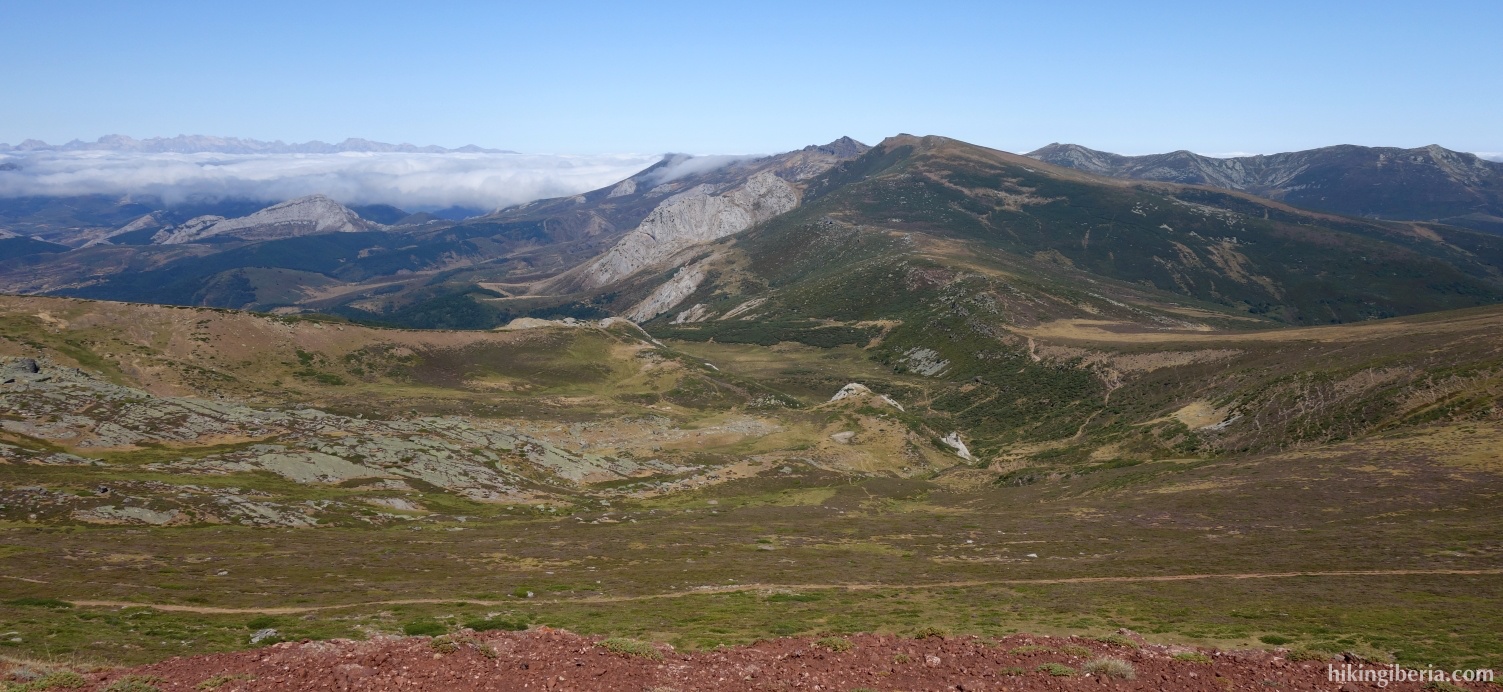
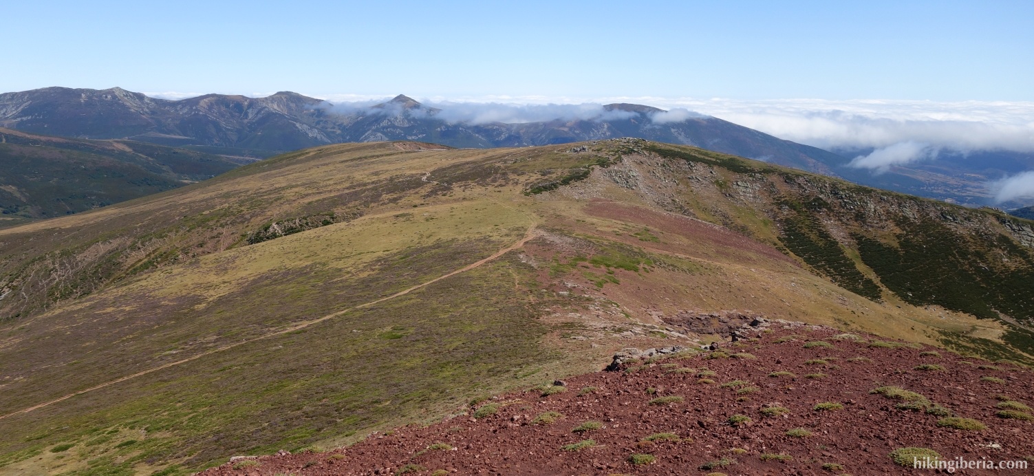
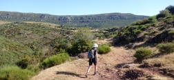
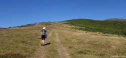
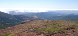
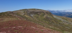
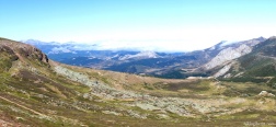
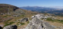
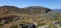
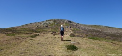
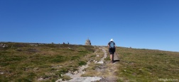
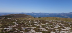
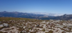
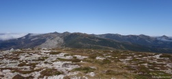
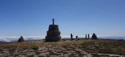
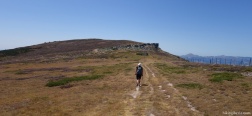
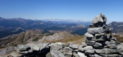
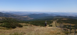
Valdecebollas is a flat peak in the Sierra de Híjar, and one of the higher peaks of this small mountain range in the east of the Cantabrian Mountains and the Montaña Palentina. In addition to the Valdecebollas, on this long circular hike we also visit the peaks of Sestil and Cueto de Comunales. The mountain range borders directly on the Fuentes Carrionas, which, as it were, makes it a balcony on the Fuentes Carrionas and the adjacent Picos de Europa.
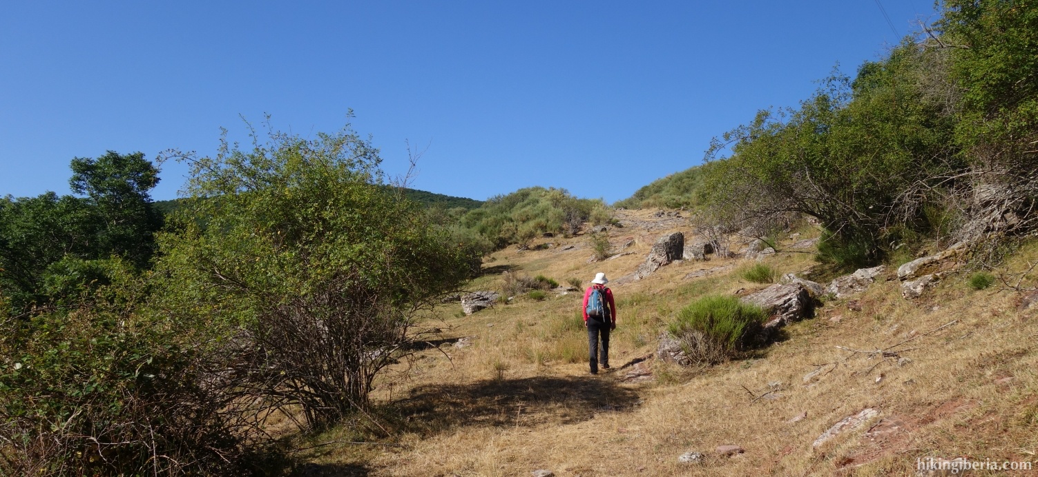
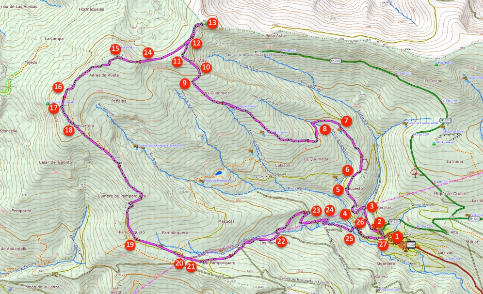
- From the Ermita de San Miguel and the cemetery (1), walk back to the P-220 and turn right. Take the dirt road that starts at the P-220 in the bend. After five minutes keep left at the Y-junction (2).
- Another five minutes later you go through a gate (3) and behind the gate you go left over the river Arroyo de Canal and on the other side of the stream you keep to the left again, to go up further. More than five minutes later we arrive at an unpaved road (4) where we continue to the right.
- Fifteen minutes later we take a narrow path (5) on the right side of the dirt road and a little further on at the fork we turn left, further uphill. More than five minutes later we ignore the path that goes straight ahead and we continue uphill with the bend. We then arrive at a dirt road, where we turn left and pass a small building.
- We now walk on a nice open space and after about twenty minutes the dirt road turns to the left (7) and we continue ascending gently. Ten minutes after this bend, the trail splits and we keep to the right, on the upper trail (8). We now follow this dirt road for quite some time in a constant ascent until after about 50 minutes we see the Sestil Alto on our right, recognizable by a pole and stones on the top. Here, turn right (9) up the mountain, without a clear path until you are on the ridge. Continue the route to the left on the ridge (10).
- In this way we eventually reach the Sestil Alto (11). From this top we continue the route in a northeasterly direction to the dirt road, where we continue on the right (12). A little further on we see milestones on the right that lead to the top of the Peña Sestil (13).
- From the Peña Sestil we walk back to the dirt road, back in the direction from which we came and we follow this path further in a south-westerly direction. Further on, we turn right from the wide path (14), onto a narrower trail that clearly leads towards the Valdecebollas.
- Once on the Valdecebollas (15) we continue the route in a south-westerly direction. After fifteen minutes we turn right of the wide path (16), onto a narrower path towards the Cueto de Comunales. To reach the top we go under the barbed wire. Once on the Cueto de Comunales (17) we continue the route along the barbed wire until we reach the wide path again (18).
- We follow this wide path, parallel to the fence, for a long time, ignoring several side trails, until about 50 minutes from the Cueto de Comunales, at Pamporquero (19) we come to a Y-junction, where we keep left and continue to descend to the valley. Ten minutes later at the fork (20) we continue straight ahead, passing under the high voltage cables. After this, keep left at the fork (21).
- Follow this path, which leads under the high voltage cables a number of times, for more than 20 minutes until it ends up at another wide path (22). Go left here. 10 minutes later (23) keep right, further down. Ten minutes later (24) turn right again with the bend further down.
- Ten minutes later you go through two gates, you pass a recreation area and you arrive at a paved road. A little further on, the paved road splits and we turn left (26). In this way we arrive at the P-220 (27) where we turn left and walk back to the Ermita de San Miguel and the cemetery.

 NL
NL  IT
IT  DE
DE  ES
ES  EN
EN 