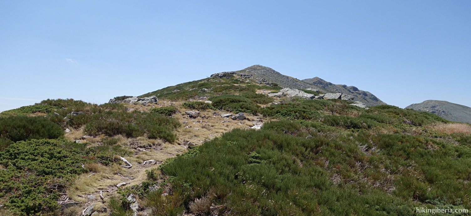
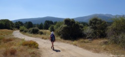
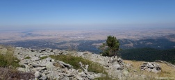
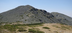
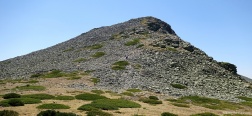
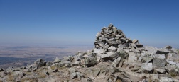
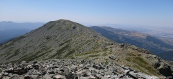
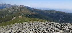
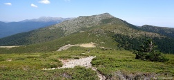
La Mujer Muerta is one of the most distinctive mountain ranges of the Sierra de Guadarrama. It owes its name ("Dead Woman") to the shape of the mountain, in which many see a lying woman with her arms crossed, and around which various legends have formed. During this walk, we climb the second summit of the Mujer Muerta, La Pinareja, and we do that from the north from Segovia through the pine forest Pinar de la Acebeda. From Pinareja we have a beautiful view over the plain of Segovia and a large part of the Sierra de Guadarrama.
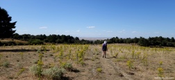
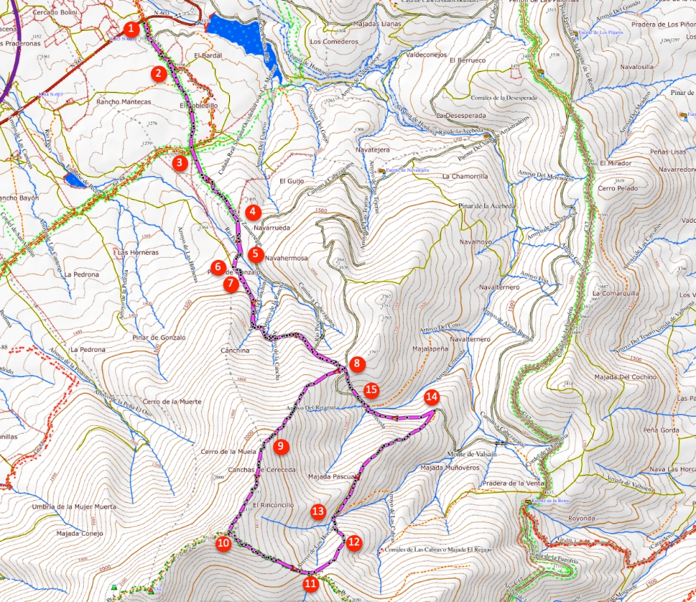
- From the car (1) we follow the dirt road for some time without letting ourselves be distracted by any side-paths. Soon we reach a a fork (2) where we turn right, through a gate. Further a trail joins from the left and we go straight on. Directly behind it we cross the GR -88 (3) and go straight on.
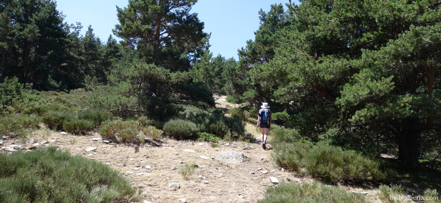
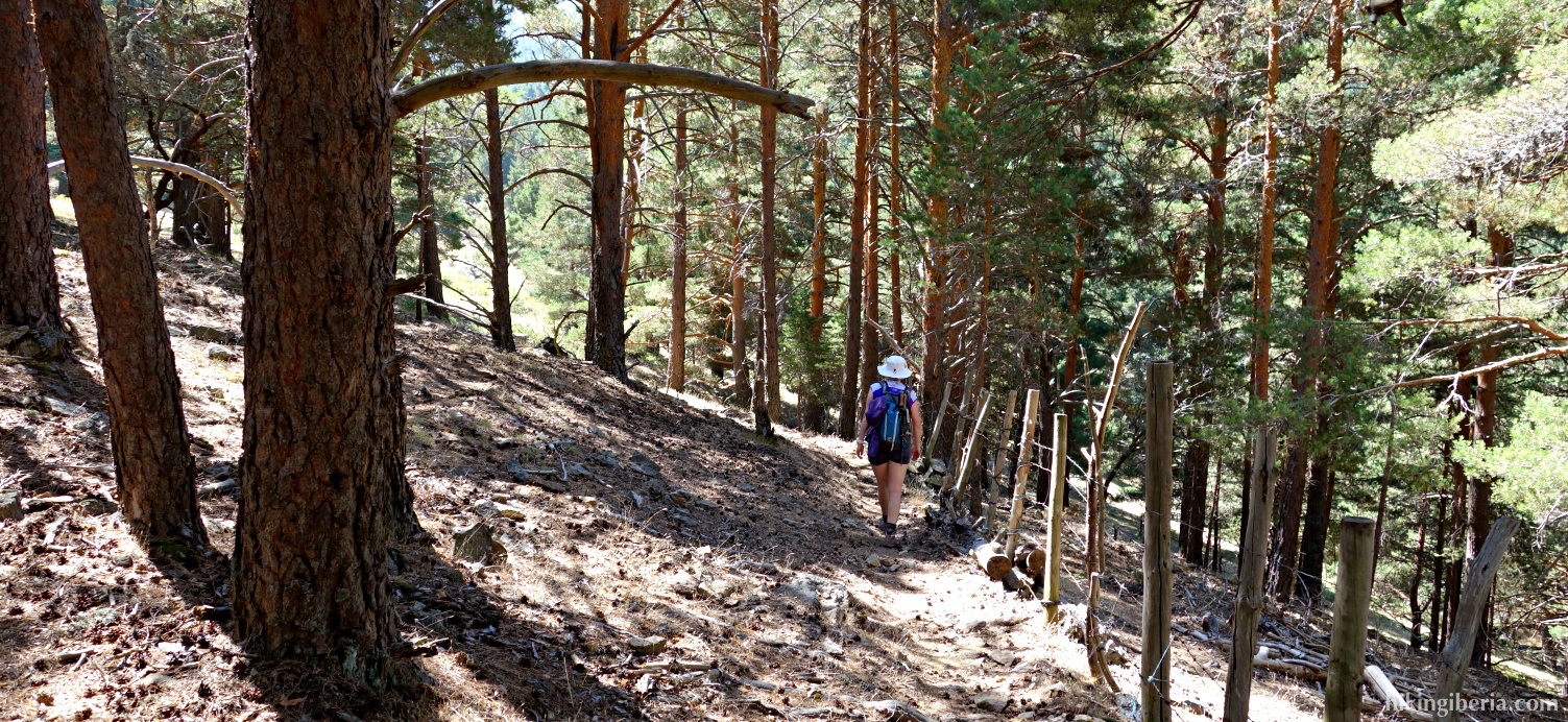
- The path in the forest is occasionally not visible; keep here more to the left than to the right and follow the sporadic milestone. Further on we reach a big fence at the municipal boundary (4). Go through the gate and behind the gate directly turn right towards the Río Peces. The trail runs parallel to the fence and descends to the stream Río Peces.
- We cross the stream (5) and walk parallel to the stone wall uphill. After a short climb we see at the right a small gate of a trail (6). Here we go left onto a broader path. Pretty soon the path splits at a Y -junction (7) and we turn right.
- After a long ascent at about 1,760 metres we reach a large open space, the Collado de Río Peces (8). Here multiple paths unite and we take the rightmost path. The trail is easy to see and sporadically marked with milestones .
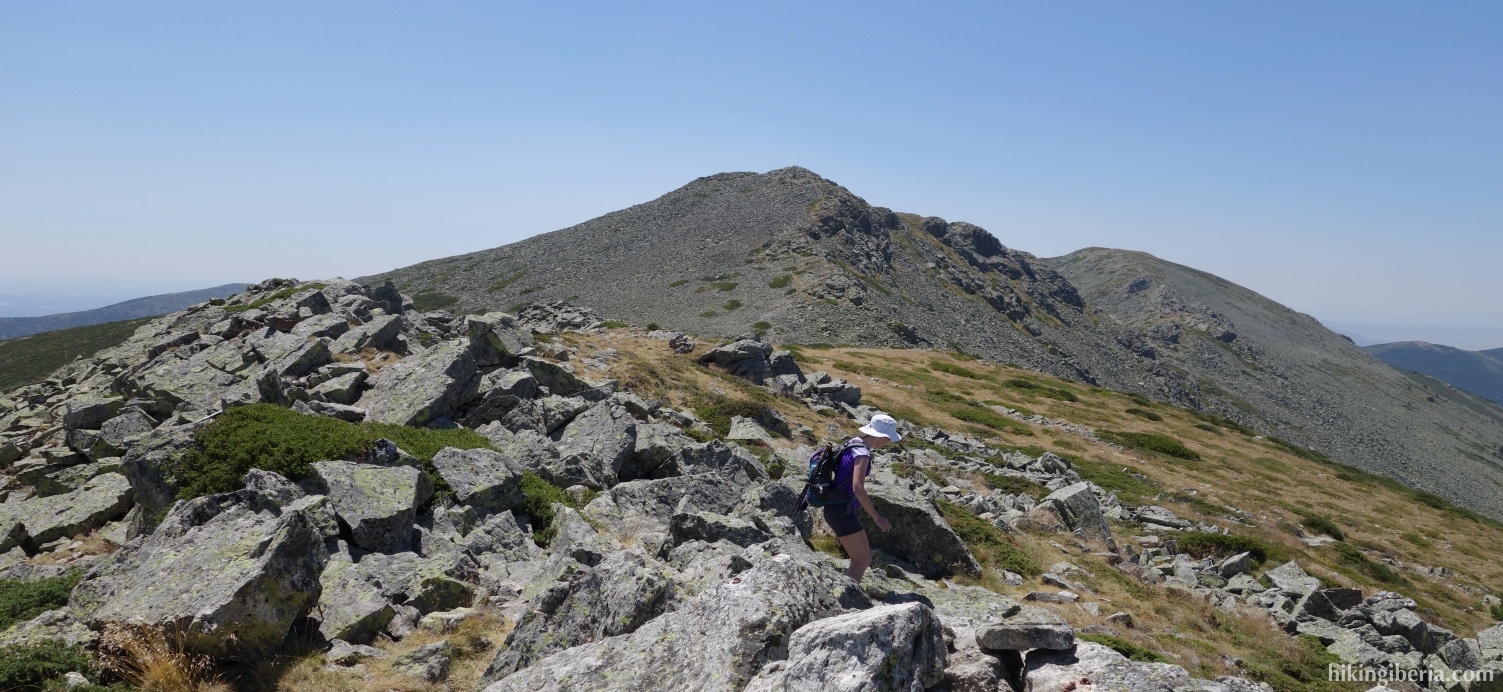
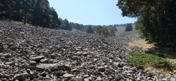
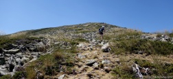
- At about 2,150 metres we first walk via the peak of Cerro de la Muela (9) from which we can see the top of the Pinareja very well. Once on the Pinareja (10) we go a bit over the top. Behind the top at the left we find a trail through the large boulders, marked with milestones, which lets us descend to the Collado de Tirobarra (11), which is the lowest point on the ridge. Here we go left onto a narrow path that runs as good as horizontally.
- The path further on is not easy to see. Make sure you head to the left away from the ridge (12) towards the stream Arroyo del Rinconcillo (13). At the lowest point, we cross the stream and on the other side of the water continue the path uphill to the left.
- At the next Y -junction we keep right and we keep walking on the wider path and further on at the fork we first turn right and then left. Finally we arrive at about 1,660 metres on another wide trail (14), where we turn left .
- We walk towards the stream Arroyo del Retamar (15). We cross the stream and turn left, to ascend about 100 metres back to the Collado de Río Peces (8). From here the route back is the same as on the way out, through the middle path straight in front of us downhill.

 NL
NL  IT
IT  DE
DE  ES
ES  EN
EN 