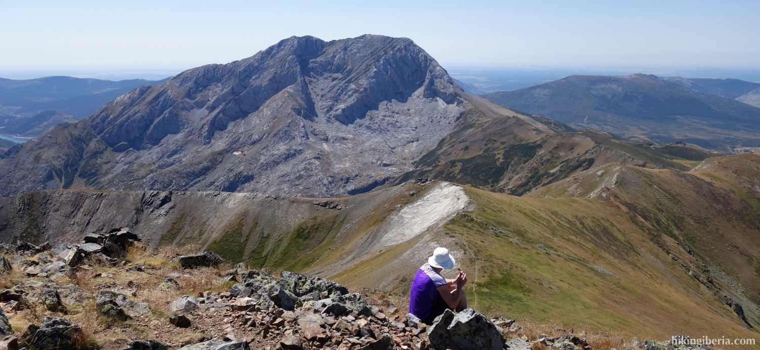
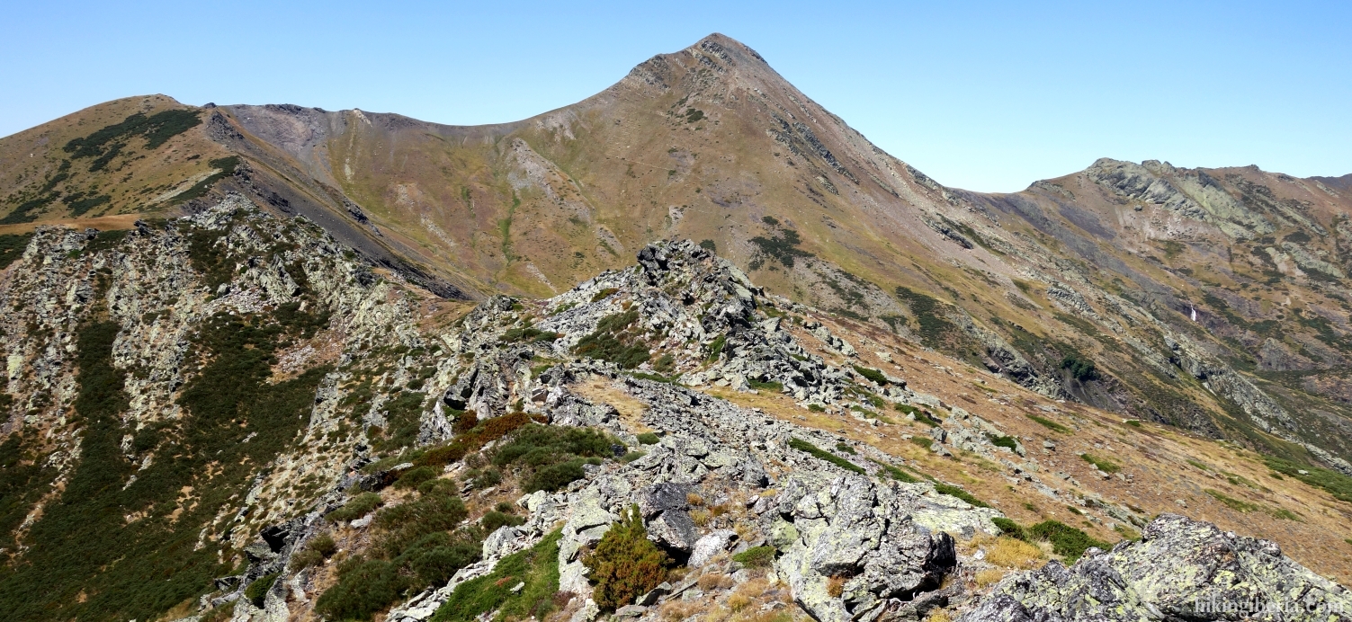
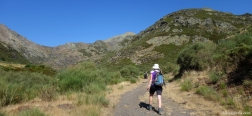
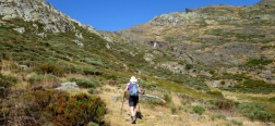
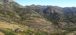
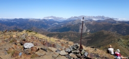
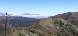
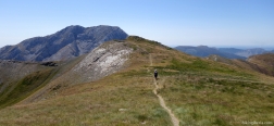
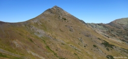
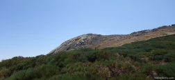
Pico Murcia is a peak at 2,351 meters in the Fuentes Carrionas. The summit is easily accessible and offers spectacular views over the peaks of the Fuentes Carrionas, such as the Espigüete and the Pico Curavcas, the Picos de Europa and other parts of the Cantabrian Mountains. On the way back we walk via the Cerro del Sillar. The last part of the hike is somewhat difficult, due to the lack of a clear trail and the excessive vegetation.
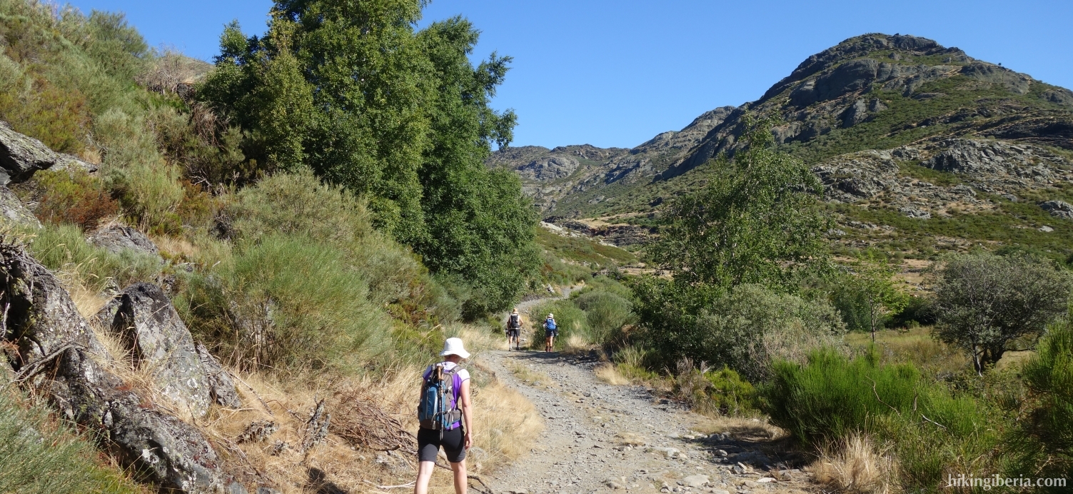
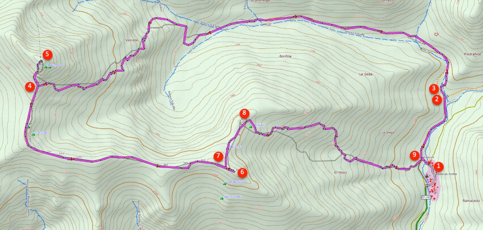
- From the car park in Cardaño de Arriba (1), follow the path parallel to the Arroyo de las Lamas. After fifteen minutes at the fork (2), follow the white-yellow marking straight ahead. A little further on we cross a bridge (3). Behind the bridge the white-yellow path goes to the right, but we go to the left and follow the sign "Pico Murcia".
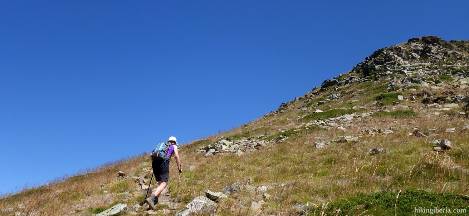
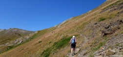
- We simply follow the path the whole time and after more than an hour and a half we arrive at a fork (4). Here we go straight ahead for a climb of over 150 metres to the Pico Murcia (5).
- From the Pico Murcia we walk back to the fork (4) where we now turn right. This path takes us to the Cerro del Sillar (6) in fifty minutes. From the Cerro del Sillar we walk back a bit and then go right down the ridge (7).
- From here we descend first in a northerly direction and then in an easterly direction (8) to Cardaño de Arriba. This part of the walk is largely lacking a path, so it is best to use the GPS track. The direction is clear, the village of Cardaño de Arriba, but the most convenient route is hard to find and the terrain is overgrown in parts.
- Eventually we return to the path of the way out (9) and we walk the last stretch back to the car.

 NL
NL  IT
IT  DE
DE  ES
ES  EN
EN 