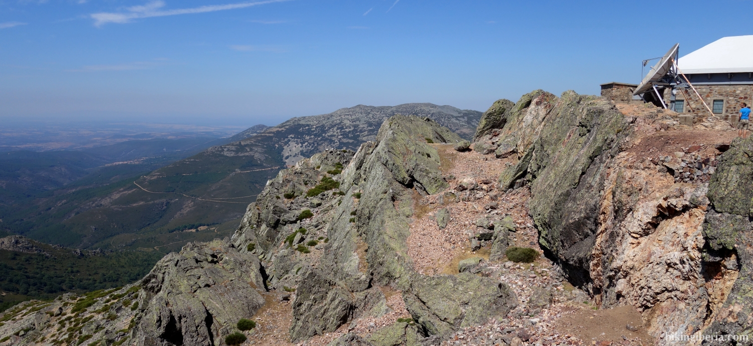
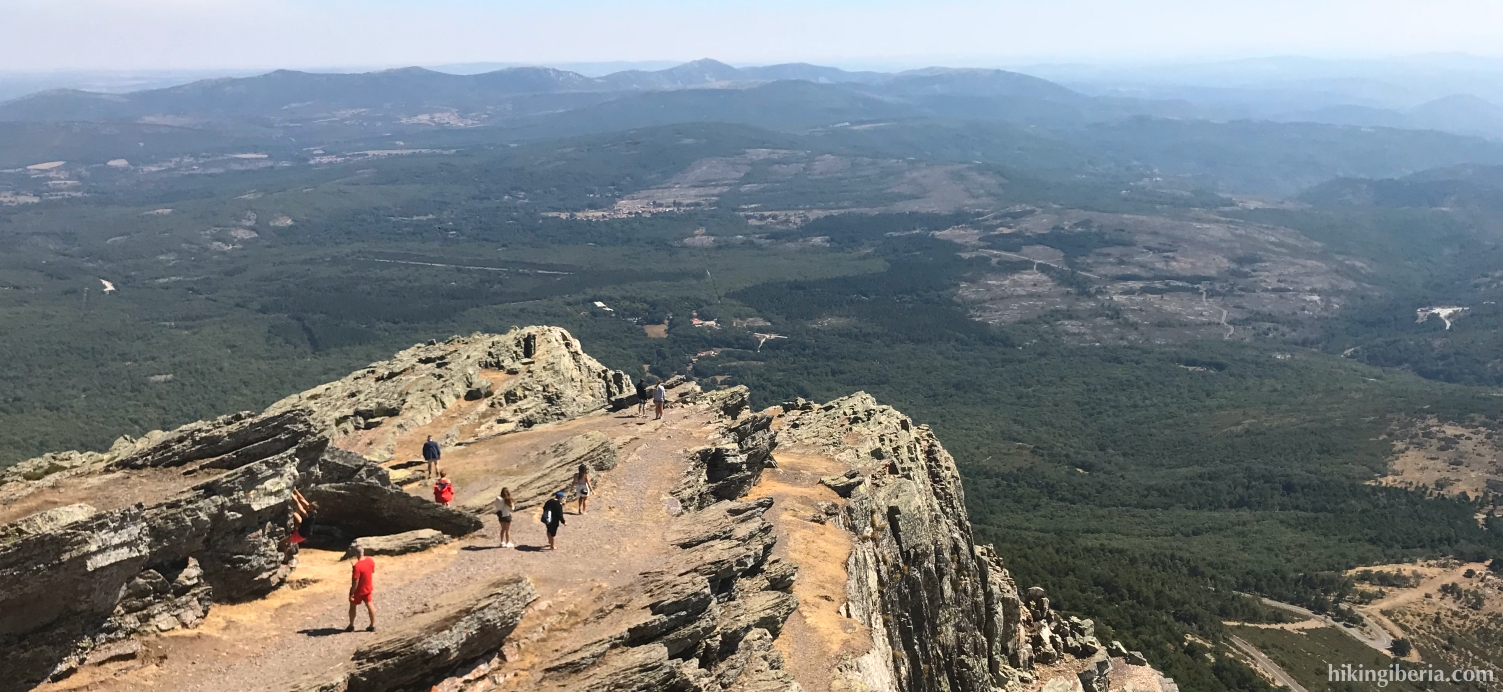
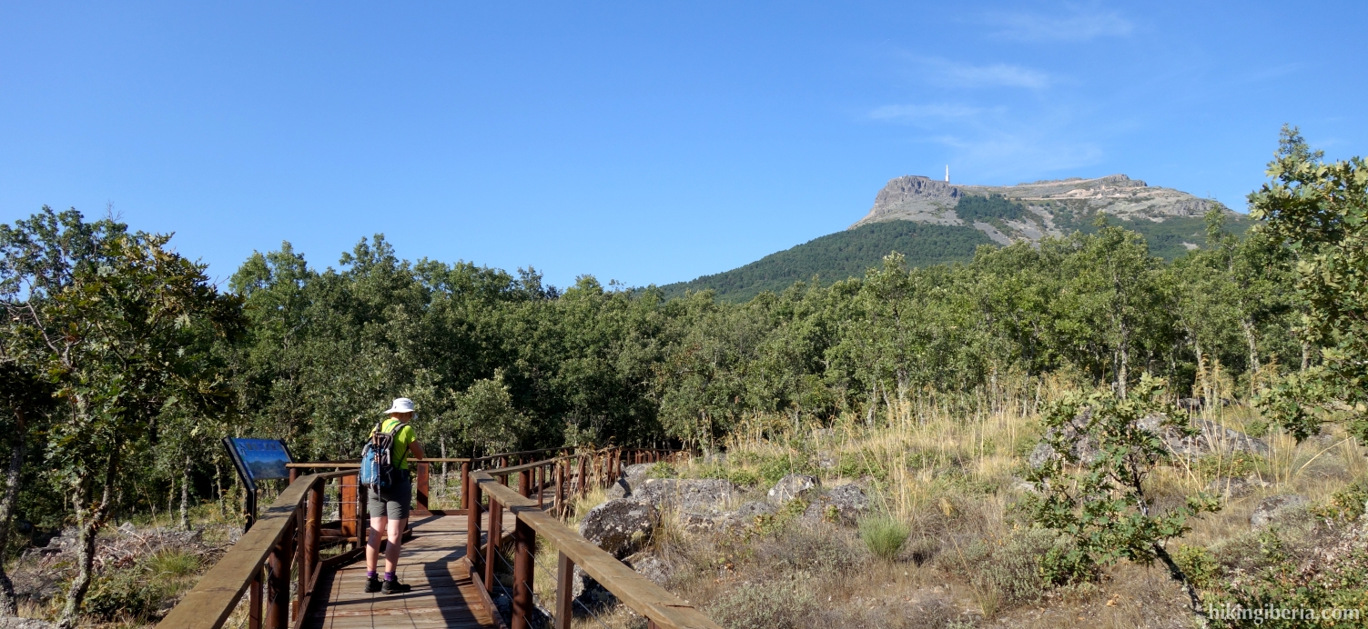
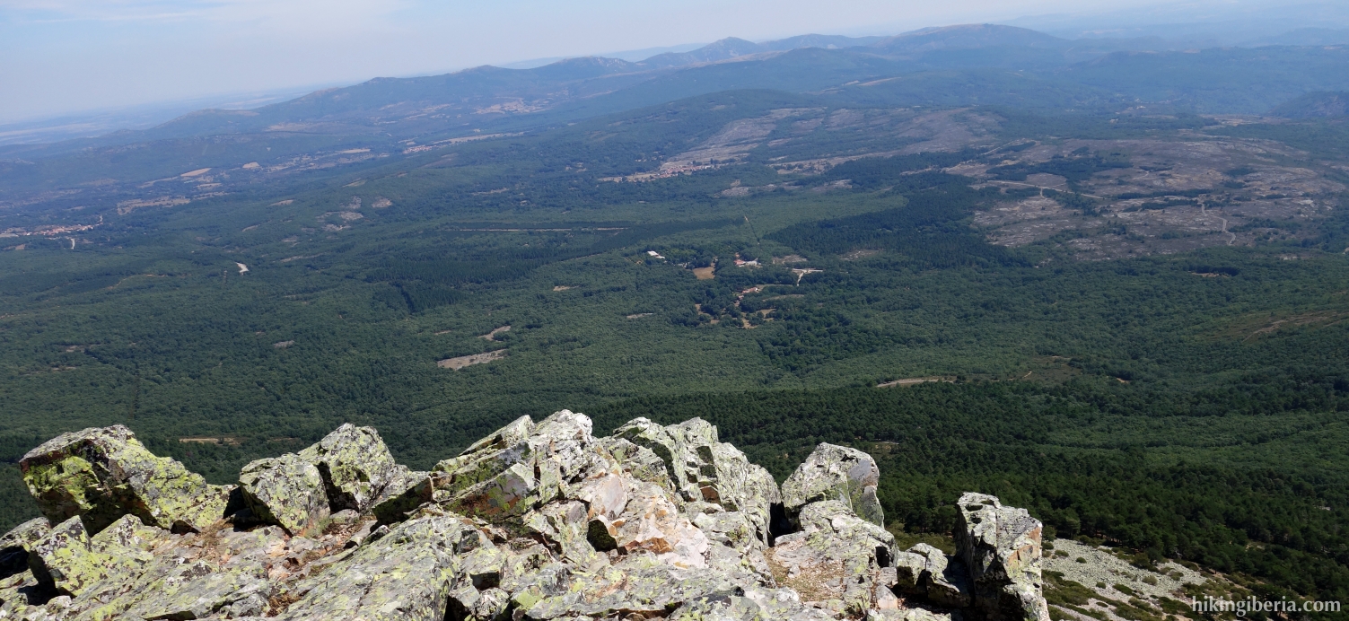
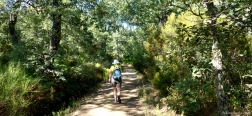
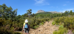
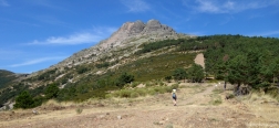
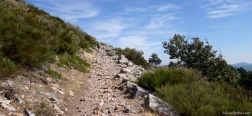
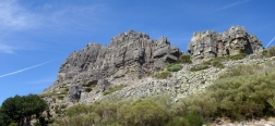
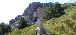
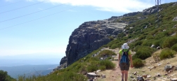
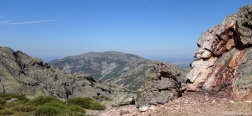
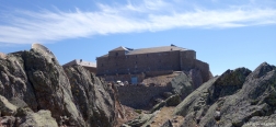
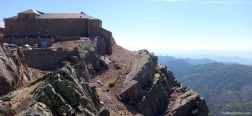
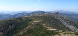
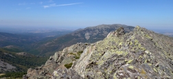
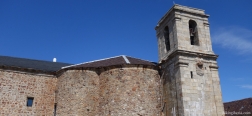
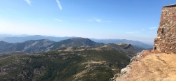
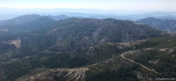
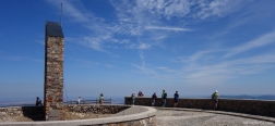
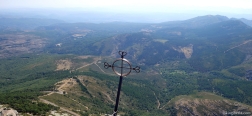
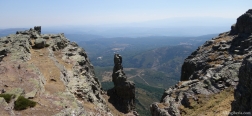
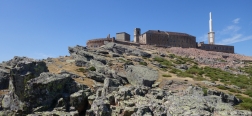
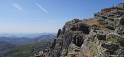
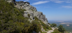
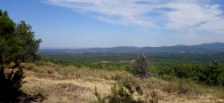
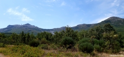
The Peña de Francia, although not the highest, is the most distinctive summit of the Sierra de Francia and of the entire province of Salamanca. The remarkable rock can be seen from the wide surroundings and at the top is the monastery Santuario de Nuestra Señora de la Peña de Francia. Because there is an asphalt road to the top, it is always very busy with tourists. Nevertheless, from this rock we have a beautiful view over the plain of Castile and the mountains of the Sierra de Francia.
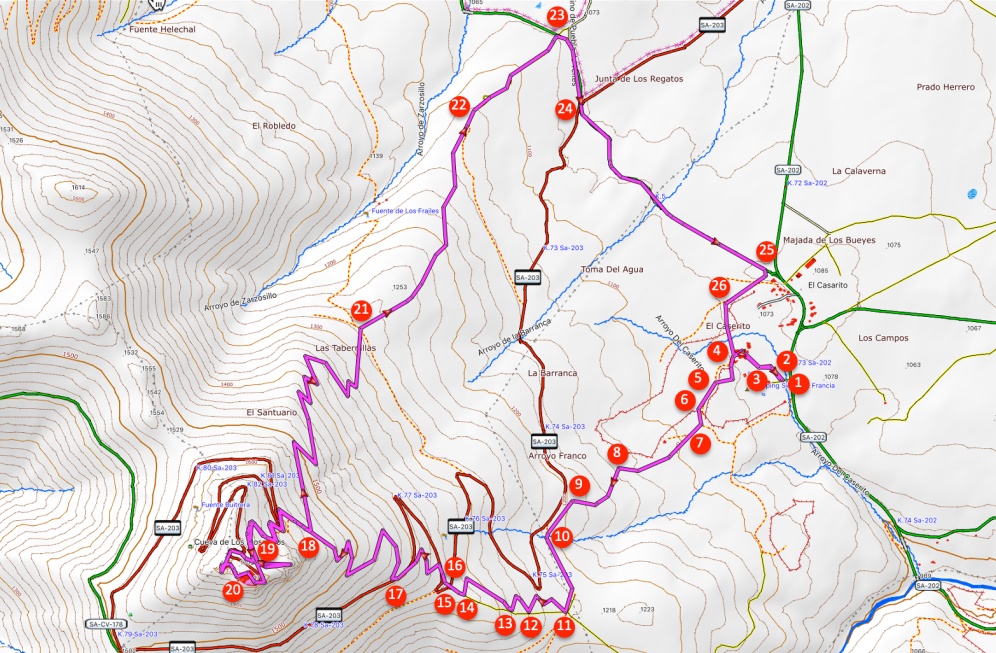
- Walk from the information panels of the hiking area of El Casarito (1) over a dirt road that runs parallel to the asphalt road towards the Calle Casarito de Abajo (2) where we turn left and go over the stream Arroyo del Caserito.
- Behind the Arroyo del Caserito, the paved road splits (3) and we turn right. A little further on, the Calle Casarito de Abajo (4) splits and we turn left. A little further on at signposts of the hike, among others towards the Peña de Francia, we keep left.
- A few minutes later we keep left again (5), on the well constructed trail. A few minutes later at the fork (6) we go straight ahead and then right again, all clearly signposted towards Peña de Francia.
- A little further at the Y-fork (7) we keep left and a few minutes later we ignore a path on the right. We see the Peña de Francia right in front of us all the time. A few minutes later at a crossing of paths we go left (8), uphill on a narrow trail marked yellow-white and signposted as "A la Peña de Francia".
- 5-10 minutes later we arrive at another crossing (9) where we follow the wide path to the left. A few minutes later we end up on a wide path (10) where we turn left. About five minutes later we end up on another wide path (11) where we turn right. Turn right here, do not go onto the fire break and follow the white-red marking.
- After five minutes we return to the fire break (12) and turn to the right on the white-red marked trail. A few minutes later we come out again at the fire break (13), keep right again and continue on the narrow white-red marked trail.
- After about 10 minutes we come out again at the fire break (14) where we turn right and we have a nice view of the Peña de Francia. After two minutes we come out on an asphalt road (15) that we cross. The trail continues on the other side.
- We quickly come out again on the asphalt road (16), go a bit to the right and then see the white-red marked trail on our left.
- After ten minutes we come again to the asphalt road (17) which we cross to continue on the trail to the left of the road a little further on, marked white-red.
- 25 minutes later we ignore the trail on the right (18) and go straight ahead to the Peña de Francia. Twenty minutes further we turn right (19) towards the asphalt road and then on the asphalt road we go left towards the car park.
- At the Peña de Francia and the monastery (20) we walk all the way round. Behind the monastery on a square we go down a flight of stairs and a little further (19) go to the right to walk to a nice rock point.
- From the rock point (21) we walk back to the trail (19) and go right, initially via the same trail. After more than ten minutes we leave the trail and turn left (18), onto a trail that is signposted towards El Cabaco.
- We follow the white-red-yellow marked trail and after 40 minutes we cross a wide path (21) where we go straight ahead.
- More than twenty minutes later we arrive at a Y-fork (22) and go straight ahead. 5-10 minutes later we arrive at an asphalt road (23) where we turn right.
- After five minutes we arrive on another asphalt road (24) that we cross and we continue the hike on the asphalt road towards La Alberca.
- Twenty minutes later we end up at another asphalt road (25) where we turn right and then immediately go right again onto a small road at the Área Recreativa Las Eras.
- A few minutes later we keep left at the fork (26). A few minutes later we come again to the fork of the Calle Casarita de Abajo (4) and we walk the last stretch back to Área Recreativa El Casarito (1) via the same route.

 NL
NL  IT
IT  DE
DE  ES
ES  EN
EN 