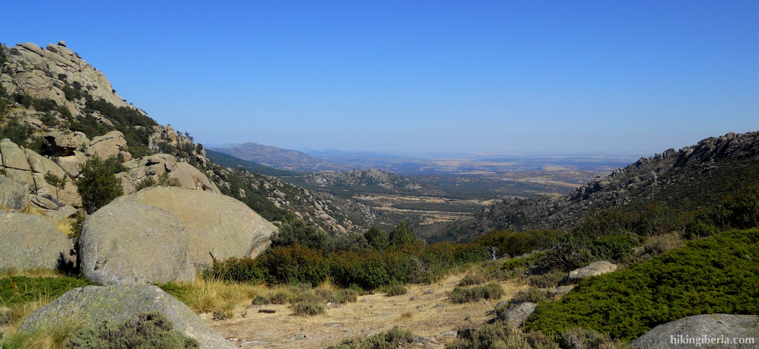
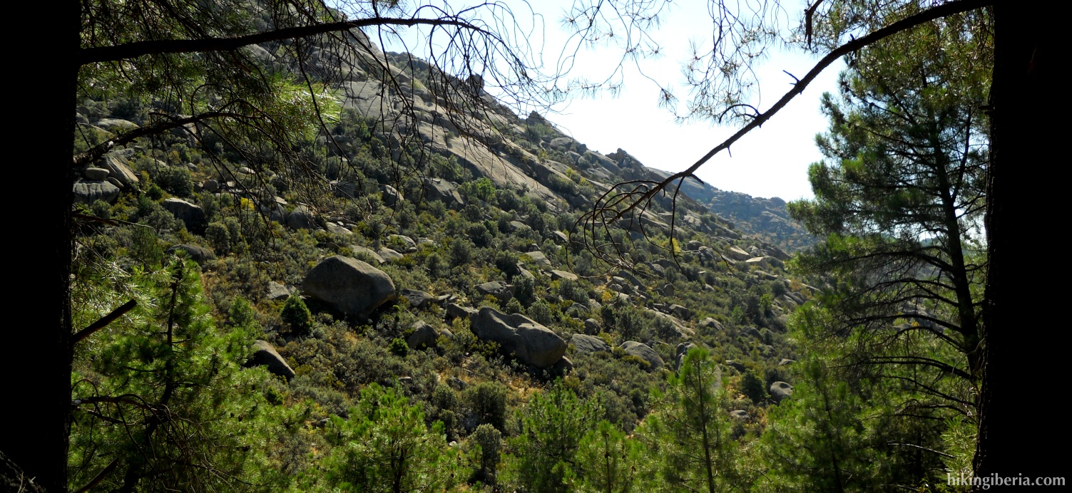
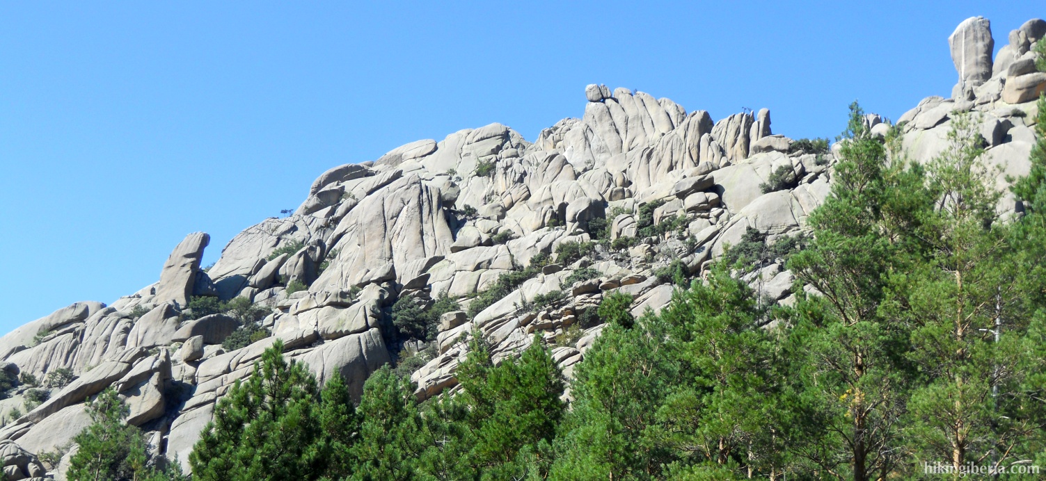
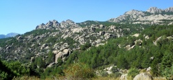
This hike takes us through the Pedriza, one of the most popular walking areas of Madrid. This region owes its name to the large quantity of boulders and stones it contains, as well as to its magnificent rock faces. It is also characterized by the presence of a lot of water, since the river Manzanares and its branches flow here. The first part of this route we follow the trail “La Autopista” (the highway), which has this name thanks to the frequent use of the trail and the easy access it provides to the Pedriza.
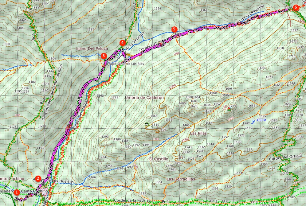
- From the car park “Canto Cochino” (1) we walk downhill through the asphalt road past the bars.
- At the end of this road we take at the left the little bridge over the river Manzanares, on the other side of the bridge we turn left again. Follow the white-red marking of the GR-10.
- At the information panel of the route “La Autopista” (2) we go straight on, following the direction of “La Autopista”. Where further on the trail is blocked with a trunk, we follow the white-red marking to the left.
- At the fork, we follow the signpost “Refugio Ginar de los Ríos” to the right (3).
- At the next fork, we again follow the signpost “Refugio Ginar de los Ríos” (4), and turn right over the small bridge.
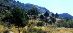
- At the other side of the bridge we continue straight on to climb towards the refuge “Ginar de los Ríos” from where we have a splendid view over the surroundings.
- The route continues turning to the left before the refuge, just after arriving on the plateau where the refuge lies. From here the trail becomes narrower and considerably steeper.
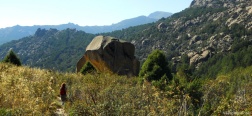
- Further on we get at an enormous boulder in the landscape (5), where we keep following the trail straight on.
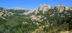
- After a steep climb through a trail with a big amount of stones and boulders, we arrive at the Col of the Dehesilla (6). Here we have a spectacular view over the valley on the other side of the mountain, where we look at the north of the Sierra de Guadarrama.
- The way back follows the same trail back.

 NL
NL  IT
IT  DE
DE  ES
ES  EN
EN 