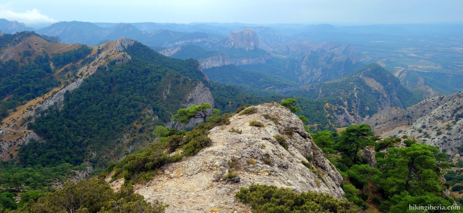
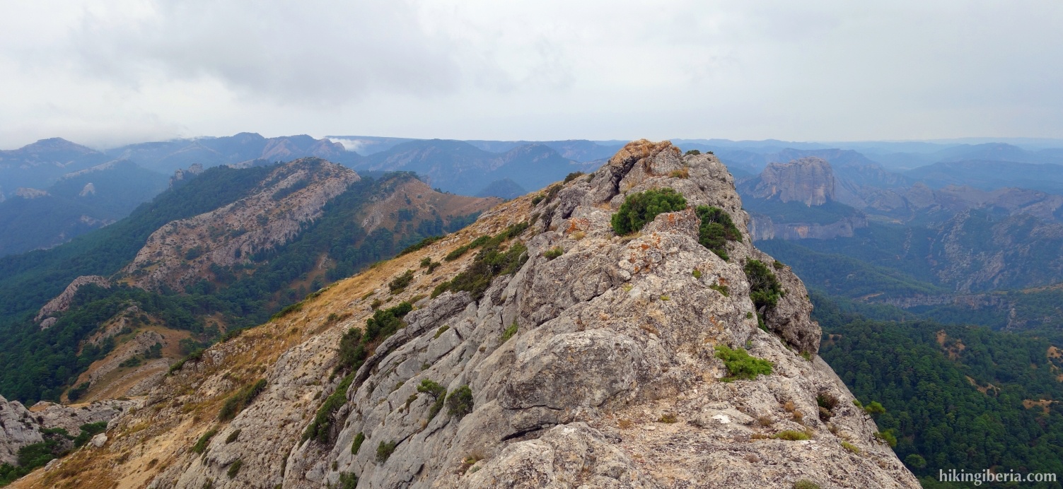
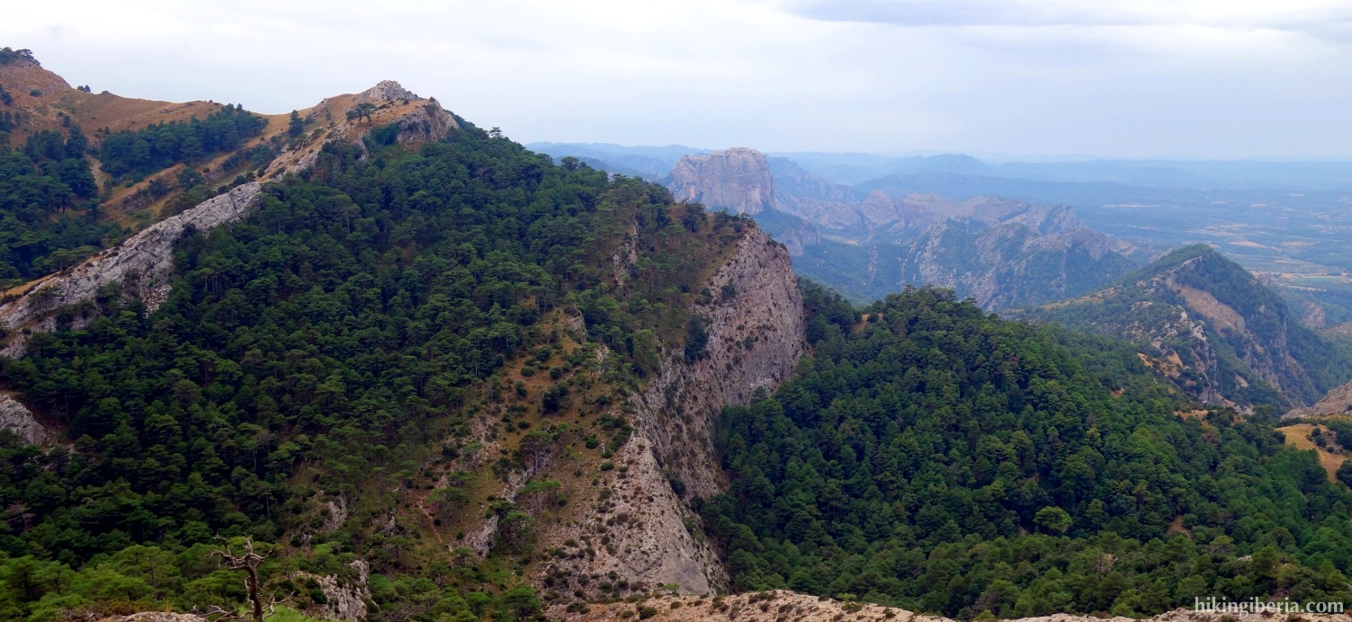
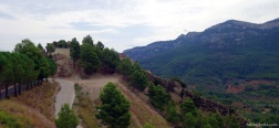
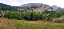
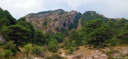
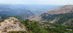
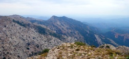
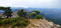
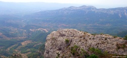
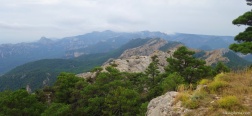
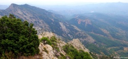
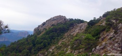
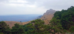
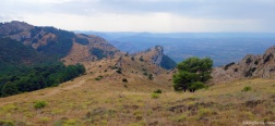
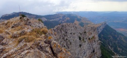
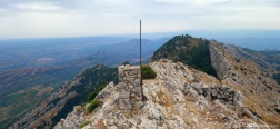
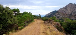
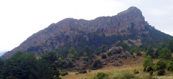
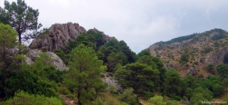
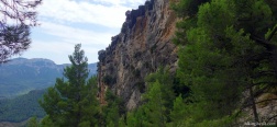
This very varied hike in the western part of the Parc Natural dels Ports takes us along several cols and two peaks. From the first peak, the Punta de l'Aigua, we have a 360 degree view all around the natural park. The second peak, the Tossal d'Engrilló, is spectacular because of its rocky sheer walls.
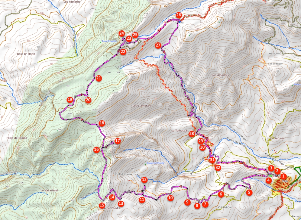
- Continue on the Carrer Montsagre (1) towards the cemetery and at the cemetery take the wide path to the right of the cemetery (2). Immediately behind the cemetery at the fork (3) we turn left, towards Horta de Sant Joan. On the asphalt road a little further we of course turn right (4).
- We follow the road and after a little more than a kilometre in a bend (5) we continue to the right on the dirt road. About ten minutes later we arrive at a path where we turn left (6) and we walk along the olive trees. A little further on we arrive at another path and we turn left and immediately right again onto a wide path.
- About five minutes later on the wide path in a bend, we turn left onto a path (7). A little further we pass a house. Here (8) we turn right and then immediately left again onto a wide path, where we then turn right with the bend. More than ten minutes later, at the crossing with signposts (9), we continue straight on, in the direction of Cova del Llop and Barraca del Jordi.
- In less than 10 minutes we arrive at a narrow trail (10) where we turn right. Fifteen minutes later we see the signpost (11) to the Cova de Llop, where we turn right to visit this cave. Once at the cave (12) we walk back to the trail (11) and turn right to continue the route.
- After more than 10 minutes we arrive at a fork with a post (13), where we turn right, following the milestones. About 10 minutes later (14) we ignore the trail on the left. A little less than ten minutes later we turn right onto a small trail (15). A little further on at various signposts we keep to the right, towards the Coll de la Gilaberta.
- We now slowly walk out of the forest and get a broader view of the surroundings. At about 1,000 metres, after a steep climb, we take the path on the right (16), to the Punta de l'Aigua. From the top (17), where you can walk all the way around, we walk back to the path (16) and turn right to continue the route. In less than 10 minutes we reach the Coll de la Gilaberta (18), where we go straight on towards Montsagre d'Horta.
- After about half an hour at a crossing of three paths (19) we take the middle wide path. Five minutes later on the Montsagre d'Horta (20) we keep to the left, in the direction of Horta de Sant Joan. A little further on we keep to the right, through the upper trail. A little further on we keep to the left (21), up the ridge. After fifteen minutes we arrive at a dirt road (22), where we turn left.
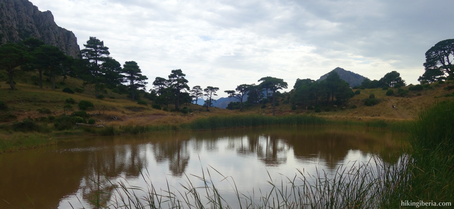
- After a few minutes (23) we turn left to walk to the top of Tossal d'Engrilló. From the top (24) we walk back to the dirt road (23) and we go left / straight and we soon see a narrow trail that we follow. Via this trail we come back to the dirt road (25) where we turn left, downhill. After fifteen minutes we arrive at the Coll de la Refoia (26), where we turn right and walk along the small lake Bassa de la Refoia. At the end of the lake, keep left, via the lower trail.
- After ten minutes we arrive at the Montsagre de Paüls (27), where we turn left, towards Paüls. After a descent of about 45 minutes through the Barranc de Montsagre we arrive at a fork (28) where we continue downhill to the left, towards Paüls, marked white-red. After less than 10 minutes (29) we keep to the right. A few minutes later we reach the dirt road again (30) and we turn right.
- A few minutes later we turn left off the dirt road (31), cross a stream and a little further we go left again on another trail. We ascend and arrive at a dirt road (32) where we turn left. Further on the road is paved and via this road we walk back to the cemetery and the car (1).

 NL
NL  IT
IT  DE
DE  ES
ES  EN
EN 