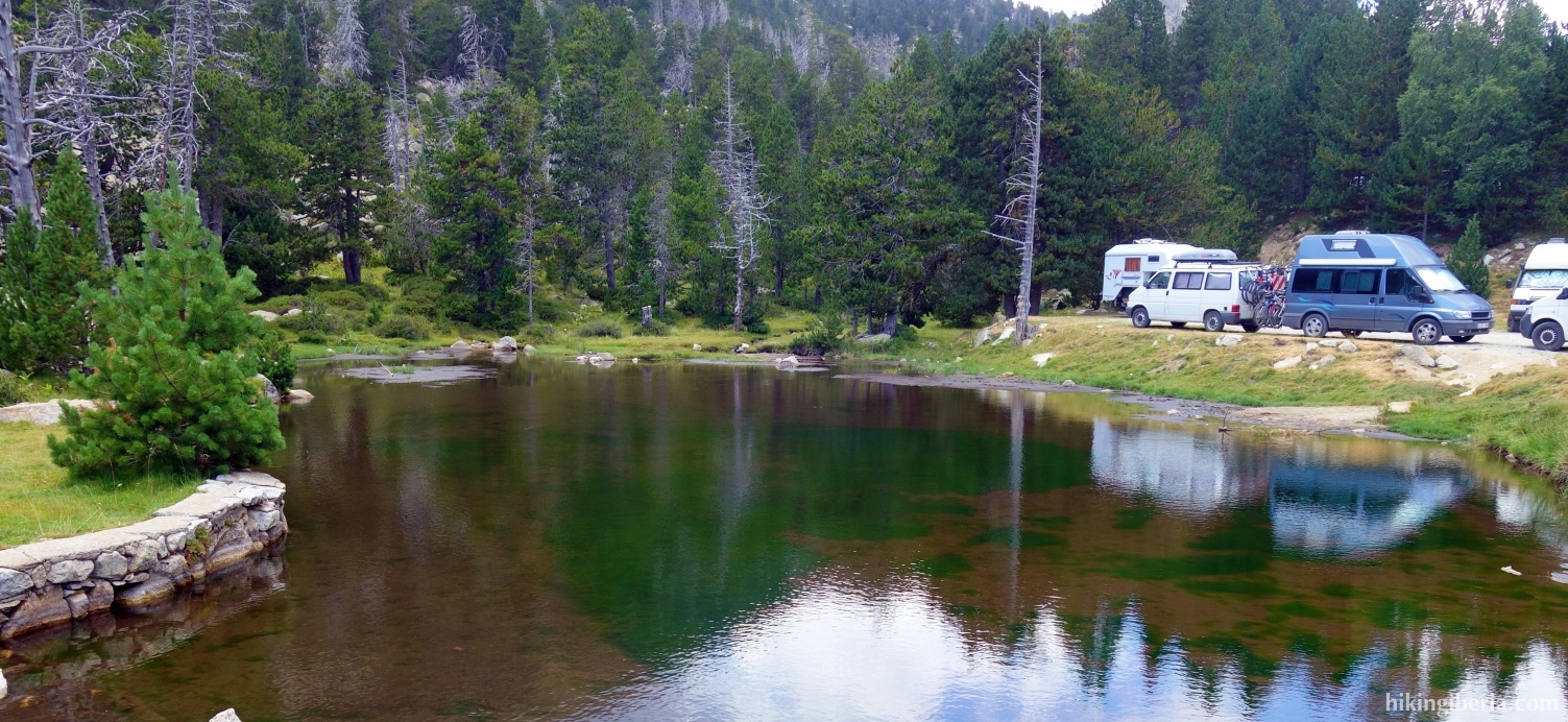
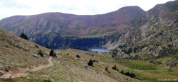
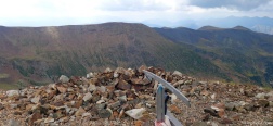
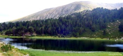
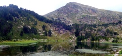
The hike to Monturull is a classic ascent of a peak of 2,760 metres in the Catalan Pyrenees, in a very attractive landscape around the lakes Estanys de La Pera at Les Pollineres, in the Cerdanya. Before we visit Monturull we visit another peak, the Pic de Perafita.
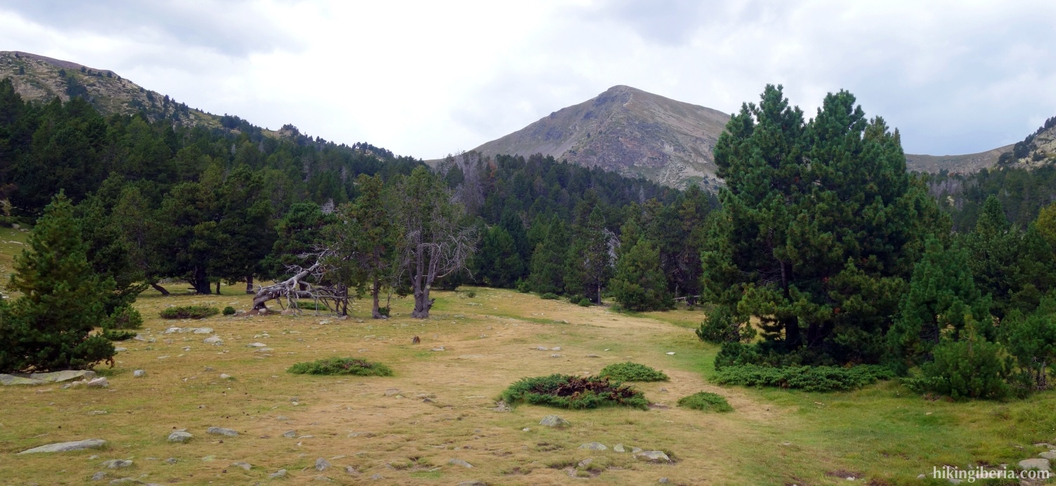
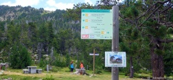
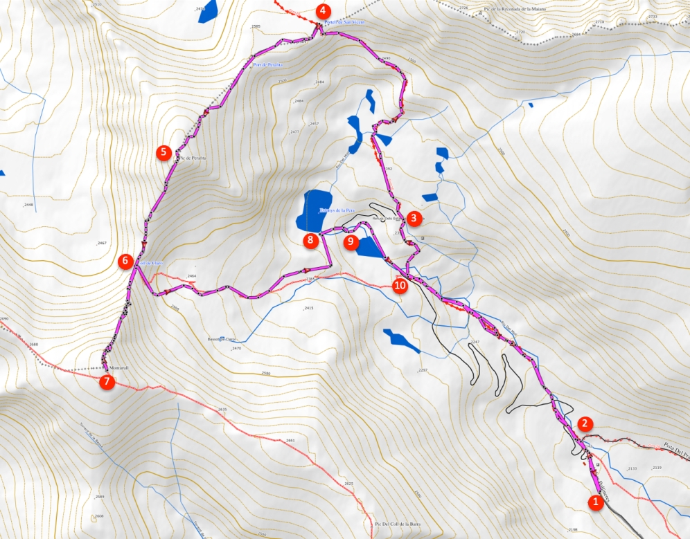
- From the dirt road where we parked (1), walk back to Les Pollineres (2) and from here follow route 1 to Estanys de La Pera or route 16 to Coll de la Perafita.
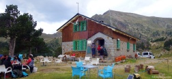
- Via this path we reach the refuge Refugio Dels Estanys de la Pera (3). From here follow the GR-11 to La Perafita. Make sure you do not take the dirt road directly behind the refuge, but a small white-red marked trail on the right.
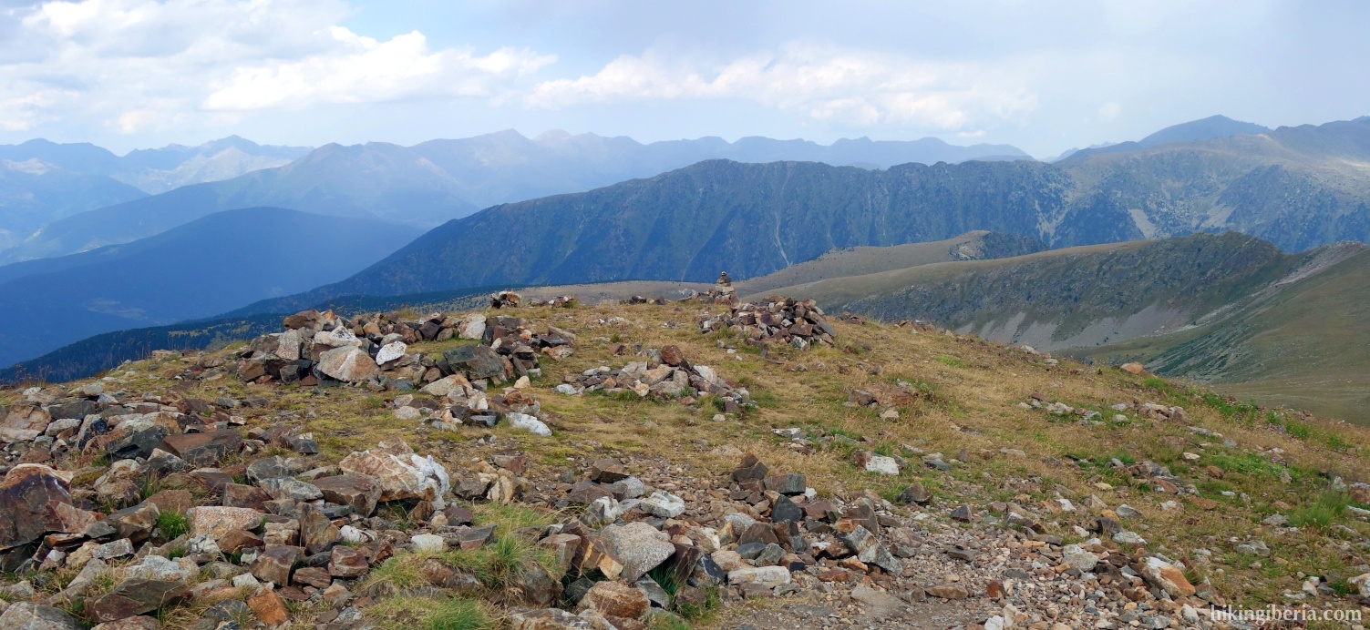
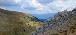
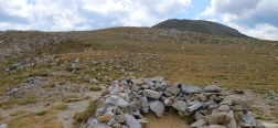
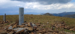
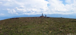
- Via this very charming path we climb in just under half an hour to the Portell de San Vincent (4), where we turn left and follow the milestones over the ridge. Half an hour later we reach our first summit via this trail, the Pic de Perafita (5).
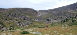
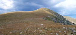
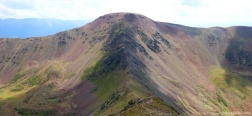
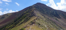
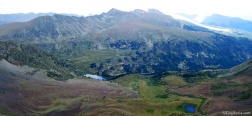
- From the Pic de Perafita we descend in 20 minutes to the Coll de Claró (6), where we can see the Monturull right in front of you. The trail to the Monturull has some difficult passages where you need your hands now and then be careful not to get off the trail.
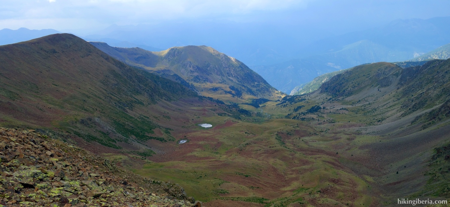
- Once on the Monturull (7) we descend again to the Coll de Claró, where we turn right, on a trail marked with milestones that leads down via large stones.
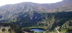
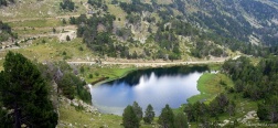
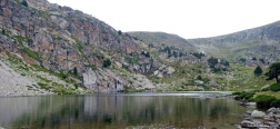
- We arrive at the large lake of the Estanys de La Pera (8). A little further we arrive at a dirt road (9) where we turn right. A few minutes later we find the white-red and white-yellow markings on our left again and we leave the dirt road to the left and walk back to Les Pollineres (2) via the same trail as on the way out.

 NL
NL  IT
IT  DE
DE  ES
ES  EN
EN 