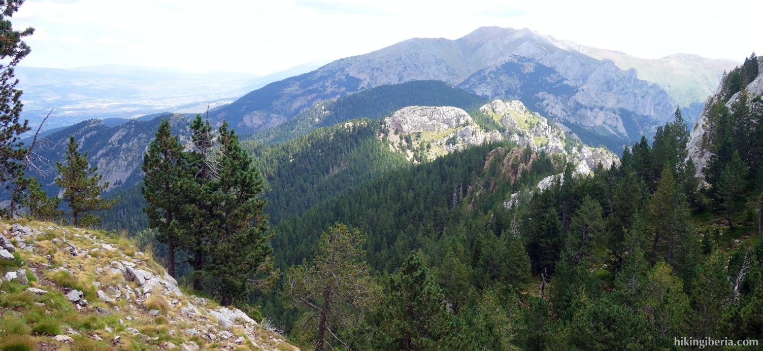
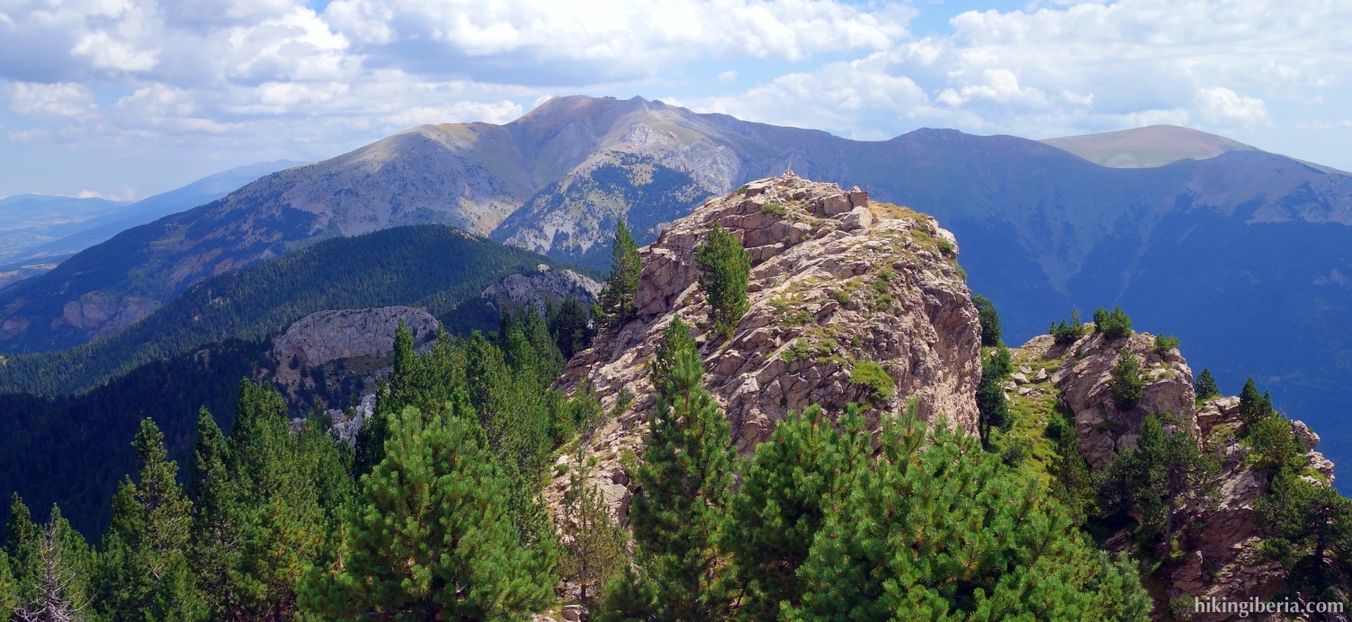
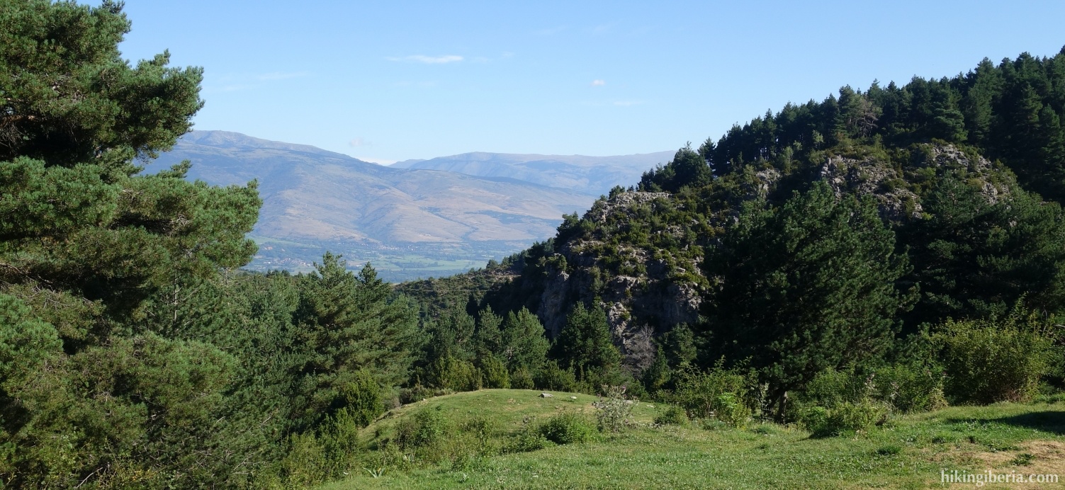
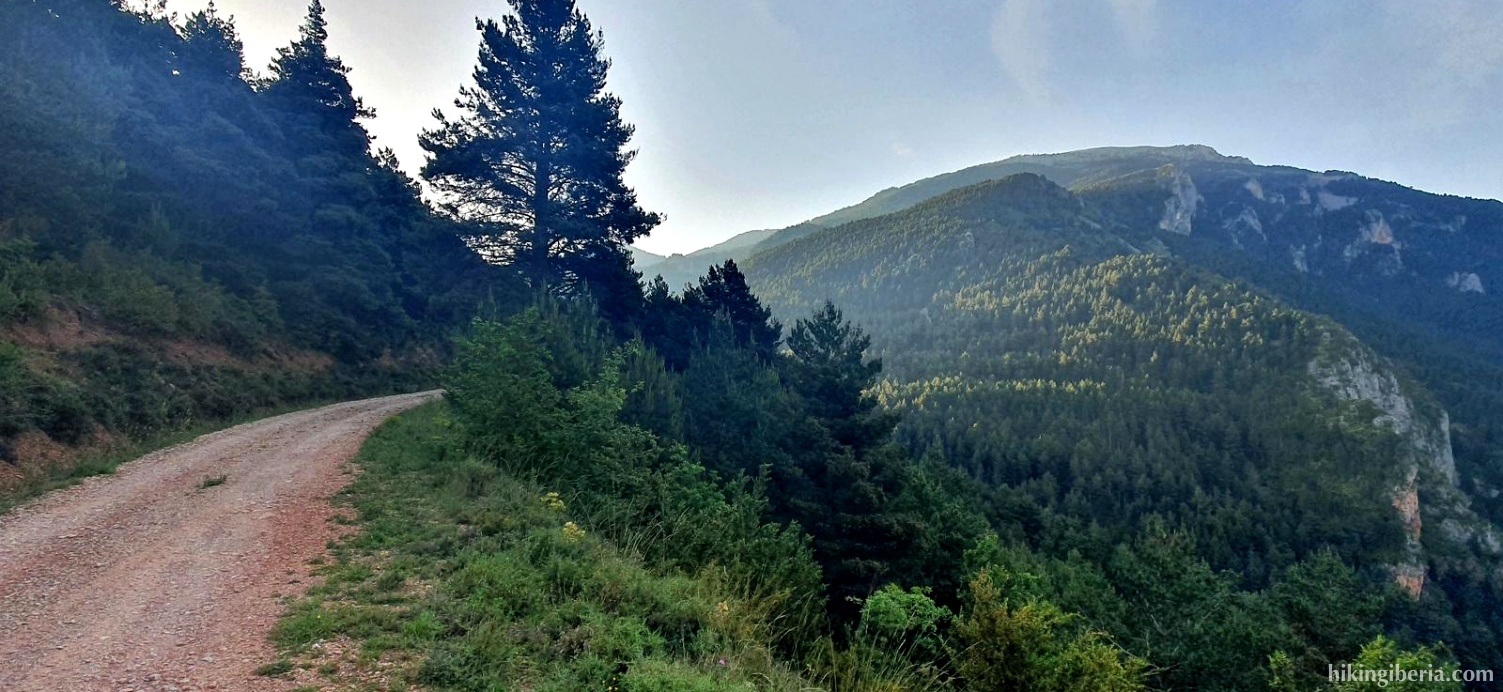
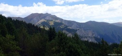
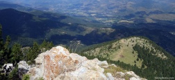
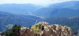
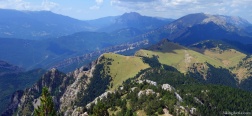
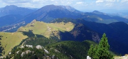
Cadí-Moixeró is the largest natural park in Catalonia and is located at the intersection of the provinces of Barcelona, Girona and Lleida. The Penyes Altes de Moixeró are the highest point of the Sierra del Moixeró, at the foot of the high mountains of the Pyrenees, and from the top we have a spectacular view of the valley of Cadí and the massif of Pedraforca. The hike to the top is a classic climb, initially via wide dirt roads through the forest and at a higher altitude via narrow rocky mountain paths.
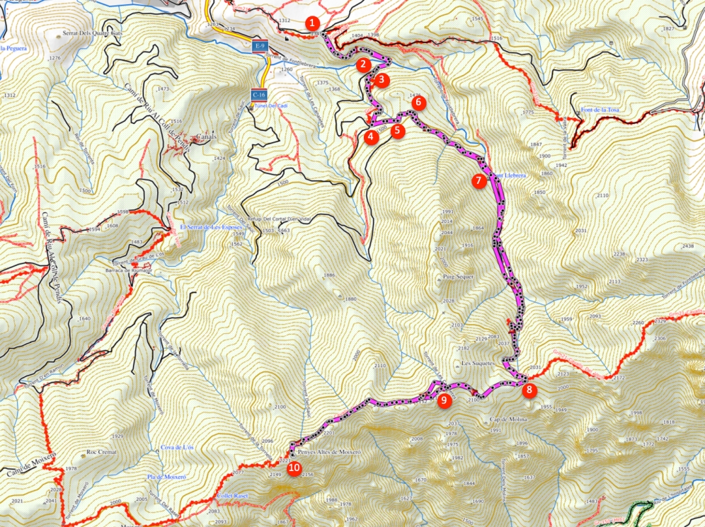
- From the cemetery (1) we follow the dirt road for about fifteen minutes, until we find a trail (2) on our left, which we enter.
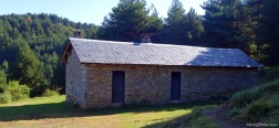
- We climb for about fifteen minutes via this trail, ignore a trail with red dots on the left (3) and in this way reach the refugio de la Pleta dels Ordiassos (4). Continue past the refuge up to the dirt road, turn left here and walk past the chain barrier. After five minutes, ignore a path on the right (5).
- In less than five minutes we keep to the left, onto the dirt road behind the chain barrier (6). We follow this path and after fifteen minutes see a bridge to the source Font Llebrera (7) on our left. The path continues straight ahead.
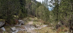
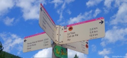
- We keep following the white-yellow marking on the path, which gradually gets narrower and steeper. After more than an hour on this path we reach the Coll de Jou (8), where we turn right towards the Penyes Altes and follow the red and white markings.
- Twenty minutes later we arrive at the Coll de la Miquela (9). From here the path gets a bit trickier and at times more difficult to follow.
- We now simply follow this trail and about 50 minutes later we reach the top of the Penyes Altes de Moixeró (10).
- The way back is via the same route.

 NL
NL  IT
IT  DE
DE  ES
ES  EN
EN 