NL
NL  IT
IT  DE
DE  ES
ES  EN
EN 
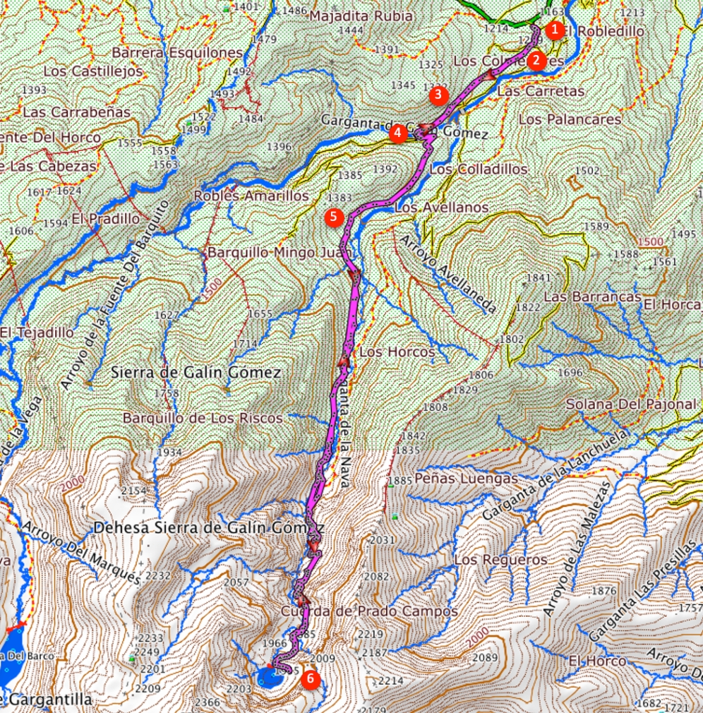
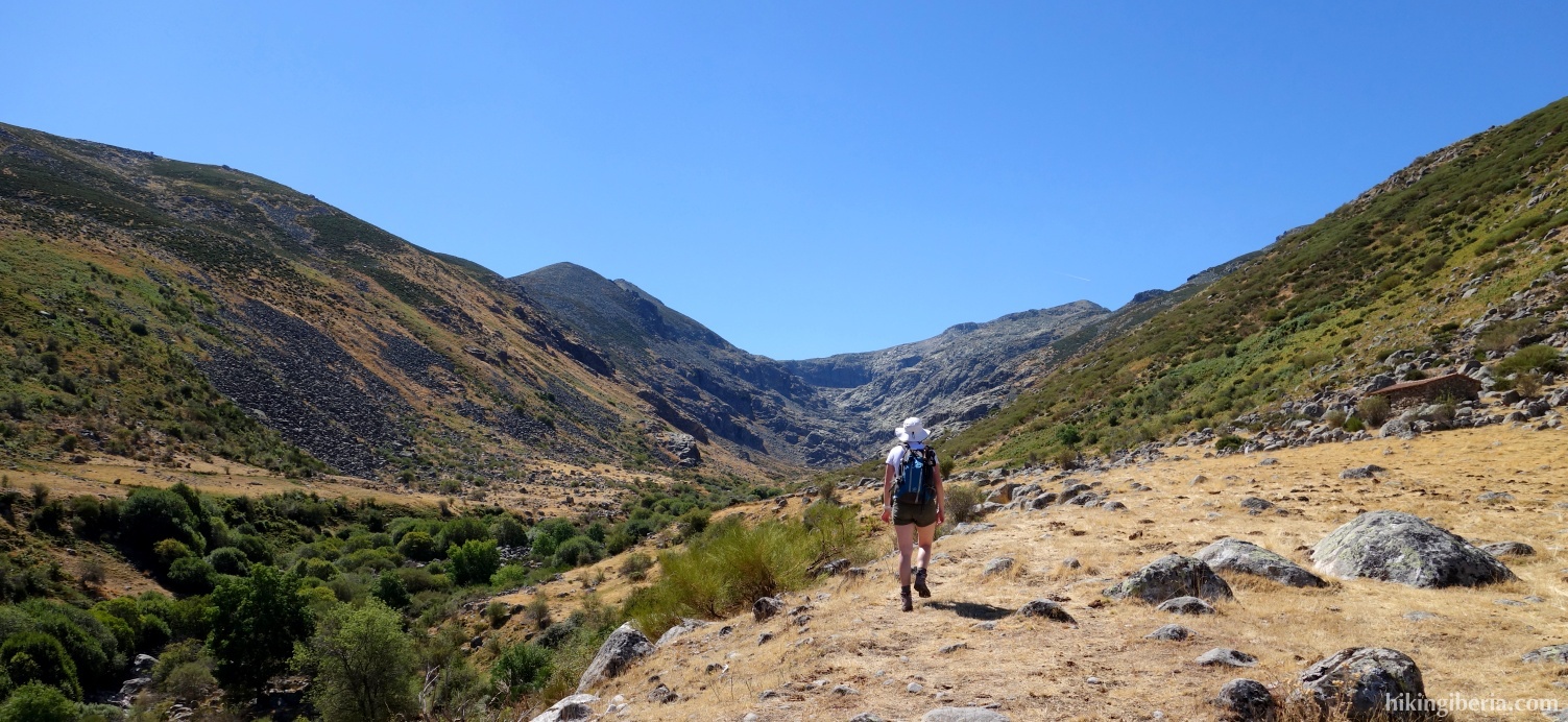
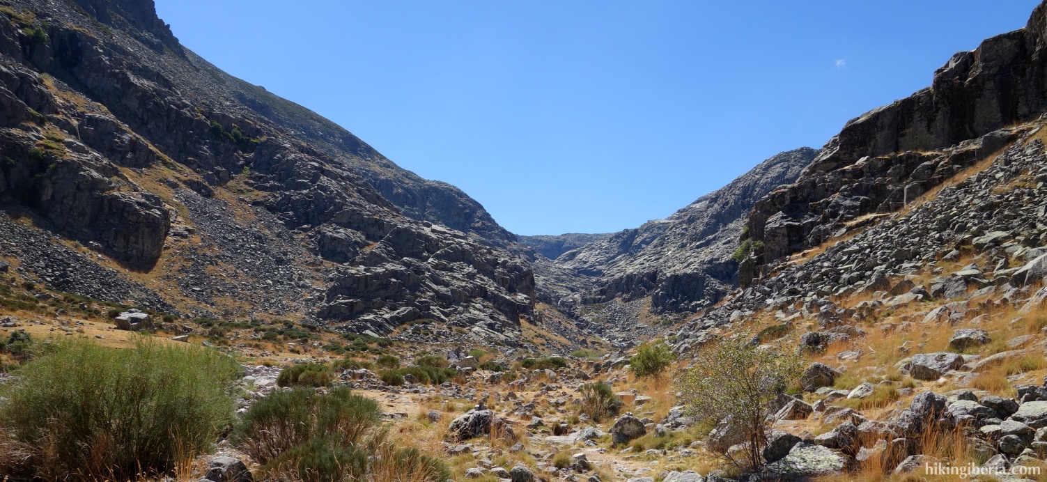
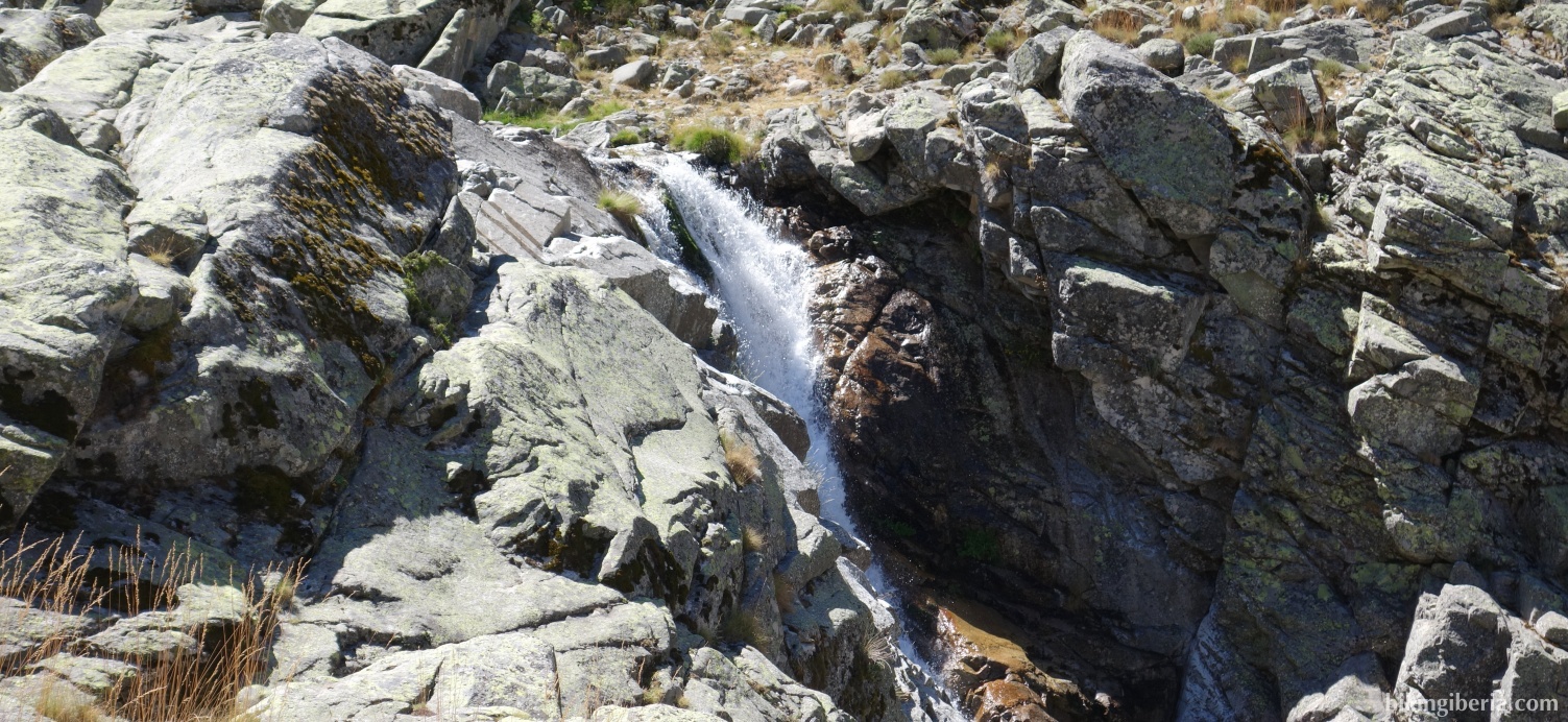
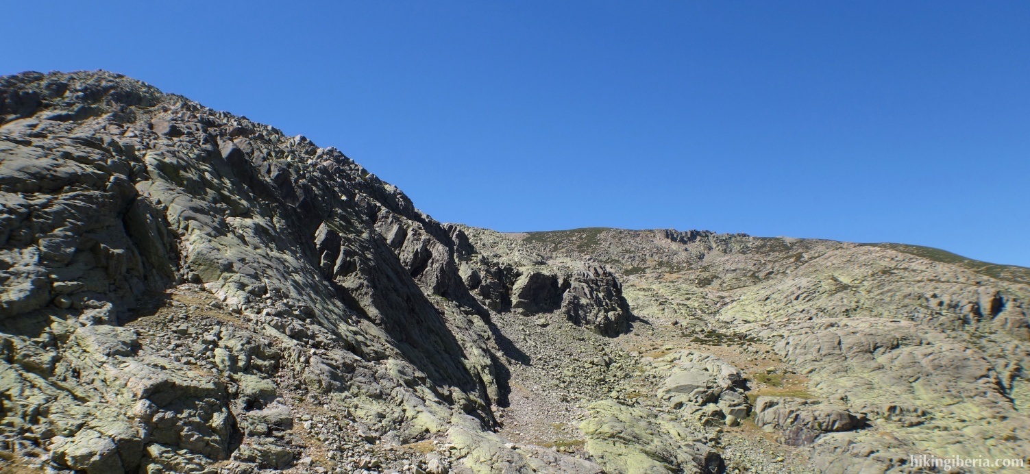
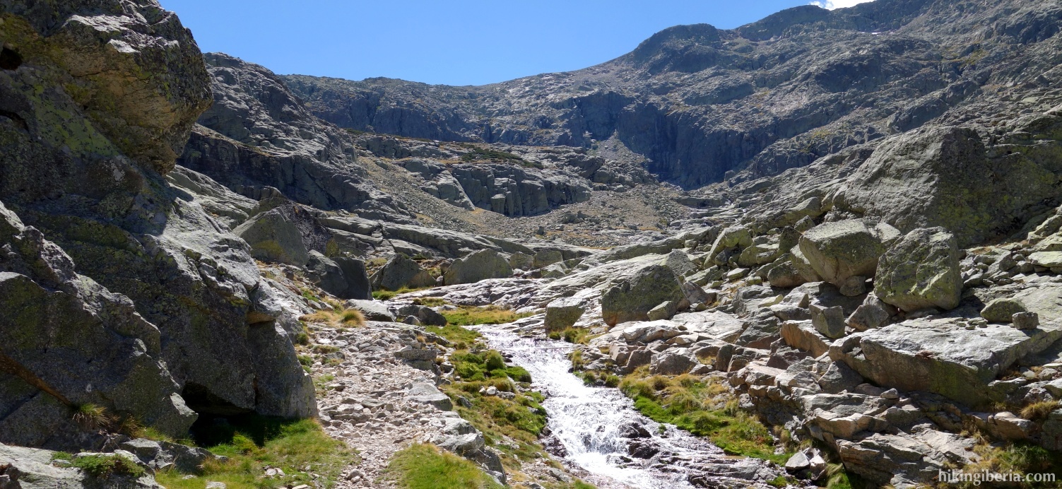
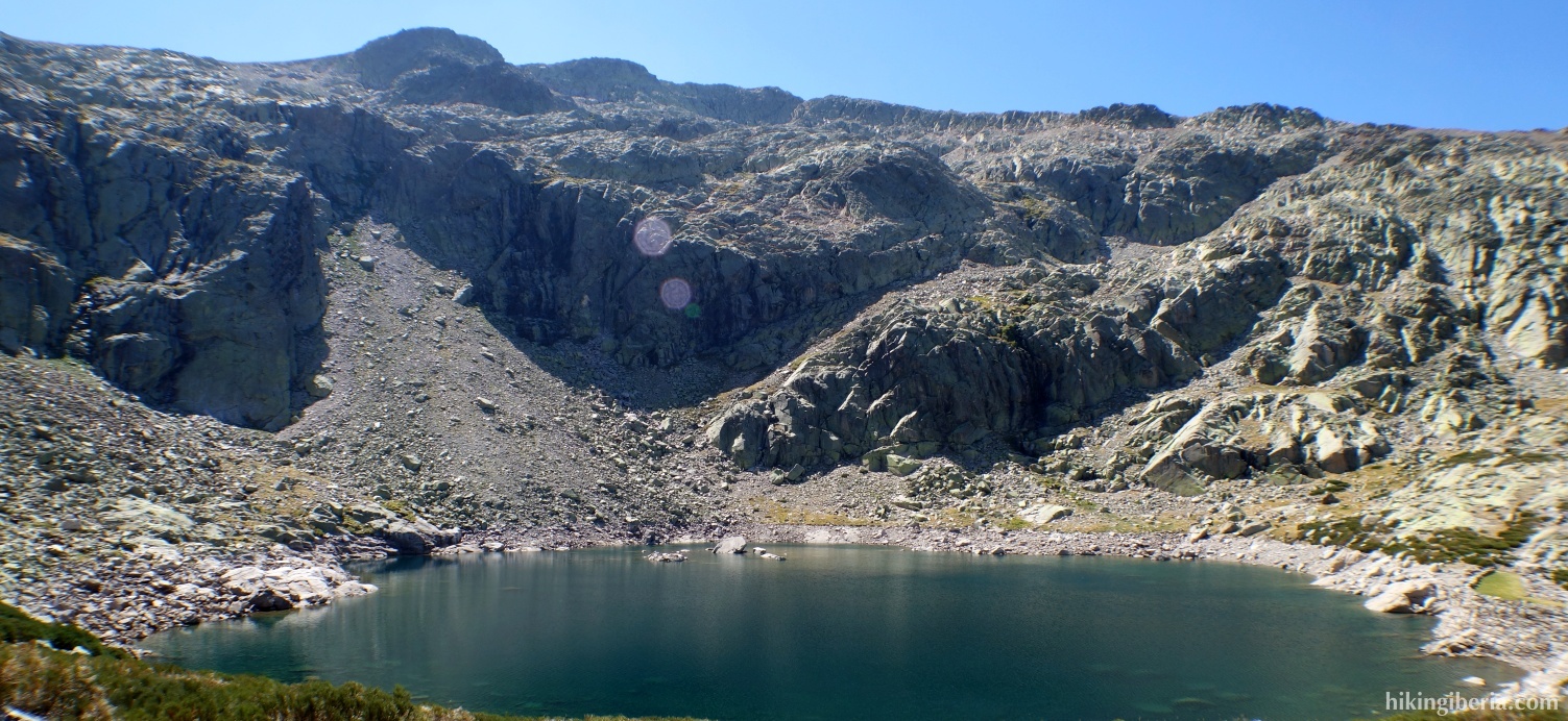
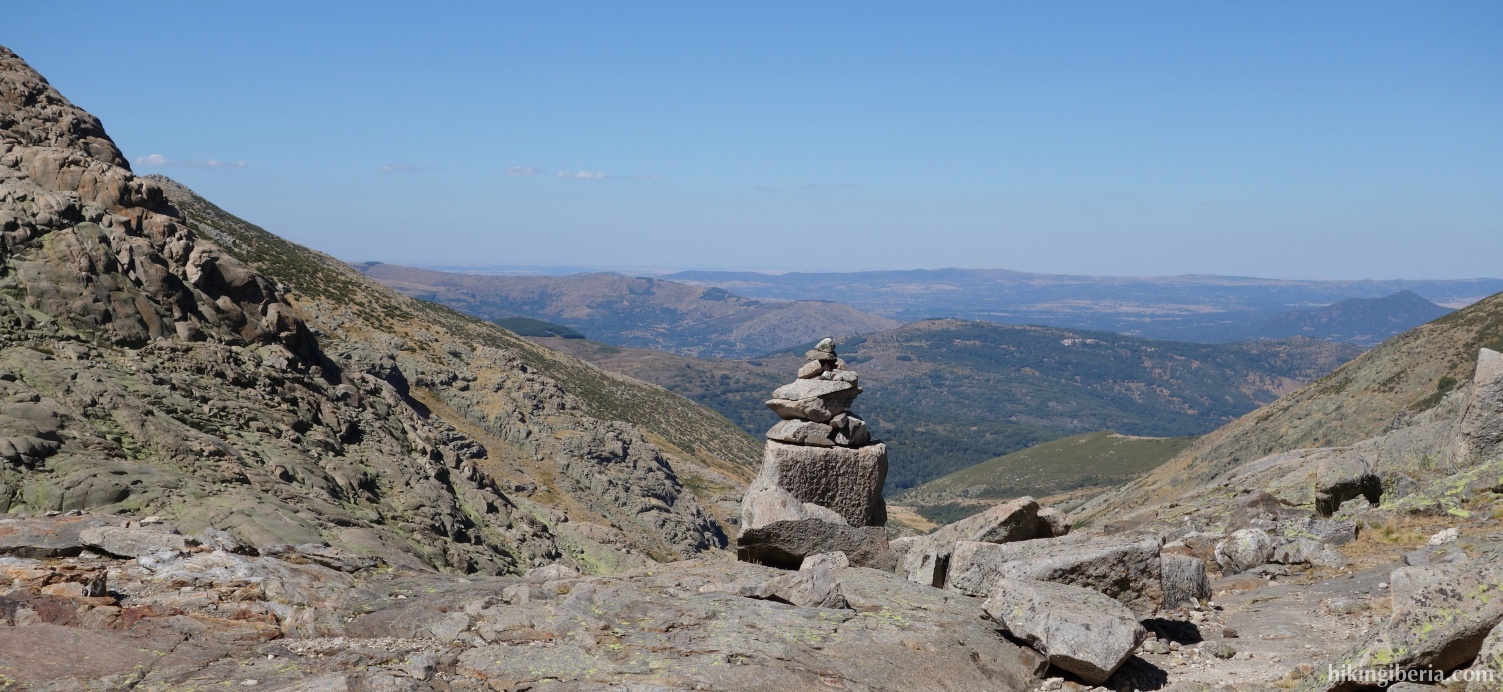
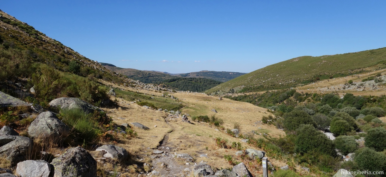
This hike takes us to the Laguna de la Nava, a small lake located just below 2,000 meters on the west side of the Sierra de Gredos. The first part of the hike we walk through a comfortable wide path. On the second part of the hike we enter a gorge that was once a glacier. Surrounded by streams, waterfalls and rock formations, our environment becomes increasingly spectacular.
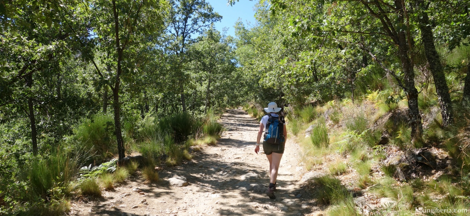


- From the parking (1) we follow the road, initially paved and well marked with the signposts of the PR-AV-39. We ignore a side trail left (2) and later at the Y -junction (3) we go to the right. Directly behind it we ignore the path on the right that goes up. This is all very well marked.
- We go over the bridge Puente de la Yunta (4) and ignore behind it the path on the right. Further on we ignore a path on the left. Further on the wide path ends at a green gate (5). We go through the gate. From here the path turns narrower and is well marked with both signs and milestones.
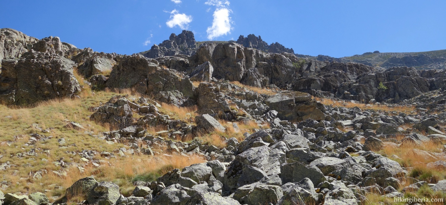
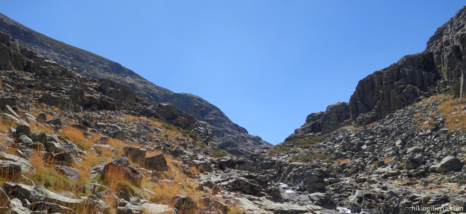
- We follow this path a long time and the gorge is getting narrower. At one point we reach a plain with large boulders where the route is marked with milestones and signposts. The easiest way is to go left here relatively at the beginning, over the water (indicated by a pole) and to follow the route on the left side of the water, instead of walking through the boulders.
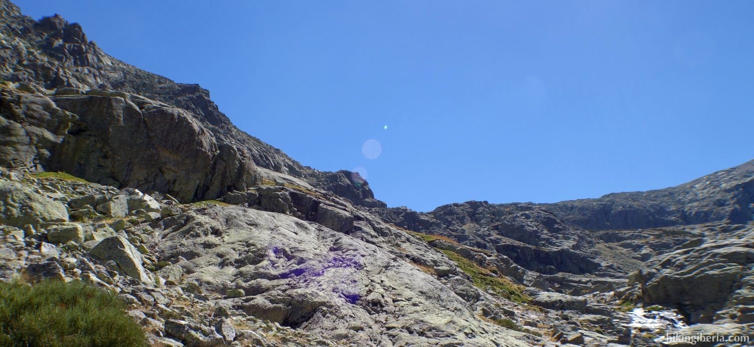
- Further on the trail turns narrower and steeper - and the hike turns more and more beautiful - and we ascend through the necessary zigzag turns. After a long ascent we arrive at the lake Laguna de la Nava (6).
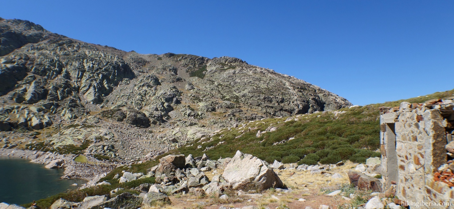
- We return via the same route as on the way out.