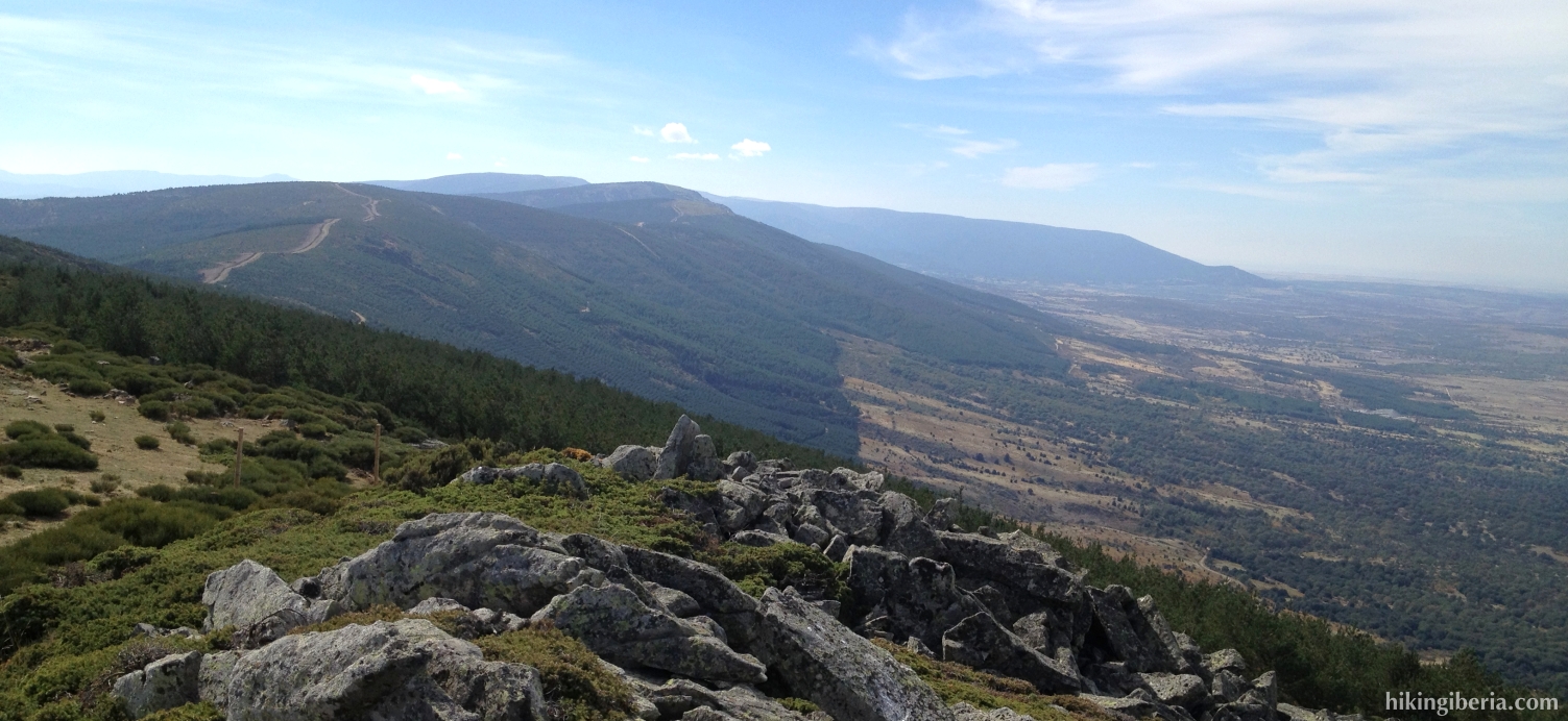
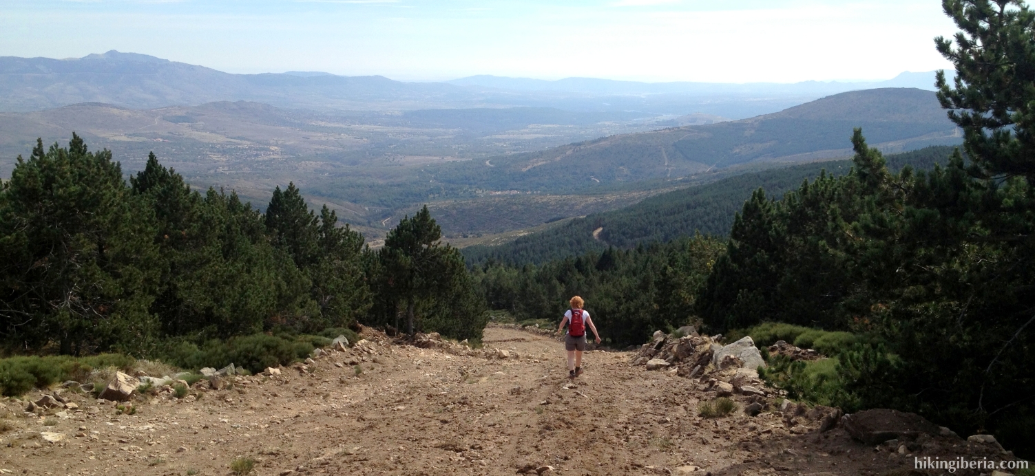
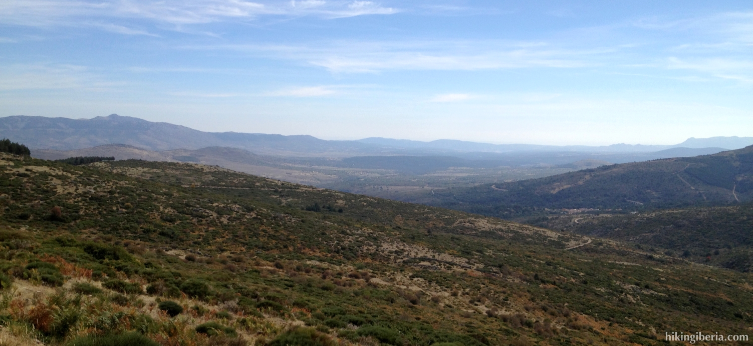
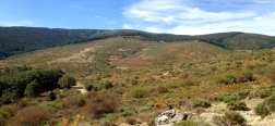
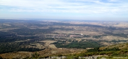
On this hike we climb from the town of La Acebeda to the Pass of Acebeda, at 1,686 metres. From the pass we keep climbing, through a firebreak, to the Cerro del Gargantón and the Cañada de la Cuerda. Here we walk on the frontier between the provinces of Madrid en Segovia, from where we have a nice view on the province of Segovia. Next we return to the Madrid side through a heavy descent via a firebreak, which will bring us to a comfortable trail, from which during the rest of the hike we have a very wide view over the valley and which brings us back to La Acebeda.
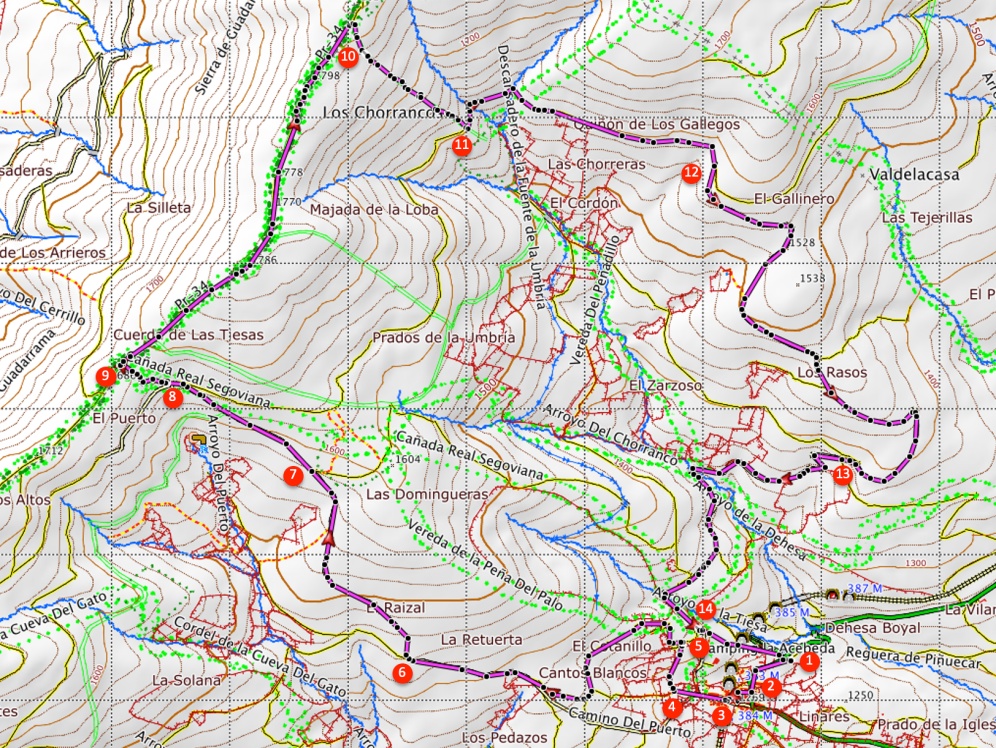
- From the campsite (1) we walk back to the village, where we turn left (2), into the same street we arrived from by car. Next we take the narrow street on the right (3).
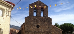
- We now get at the church where we turn right, into the Calle del Puerto (4). Further on where this street becomes unpaved, we keep right and at the next fork we keep right onto the trail. We now climb a bit, go over a little wall and reach a dirt road (5). Here we turn left.
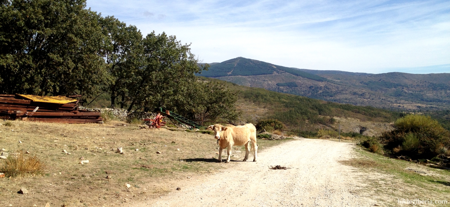
- Now we stay on this road the entire time. At a Y-junction (6) we follow the road to the right. Further on we can now clearly see the pass in front of us and we stay on the road, walking towards the pass. Thus we ignore a side path on the right (7).
- Just before we arrive at the pass we cross another wide path (8), where obviously we continue straight on.
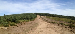
- From the pass of La Acebeda (9) we first go through the gate and then to the right, onto the firebreak. We stay on this crest for about two kilometres, until we - just before the highest point on this crest - see another broad firebreak (10) on the right side, square with our direction. Through this firebreak we start the descent.
- After a heavy descent we reach a path (11) where we turn left. We now follow this path for quite some time. At a Y-junction (12) we keep right, further downhill. Further on the path turns back into the direction of La Acebeda with a bend. A bit further on the right lies a path (13), but we keep left and stay on the dirt road.
- Still further on we reach a crossroads (14). Here we take the most left path that goes downhill and takes us back to the campsite (1).

 NL
NL  IT
IT  DE
DE  ES
ES  EN
EN 