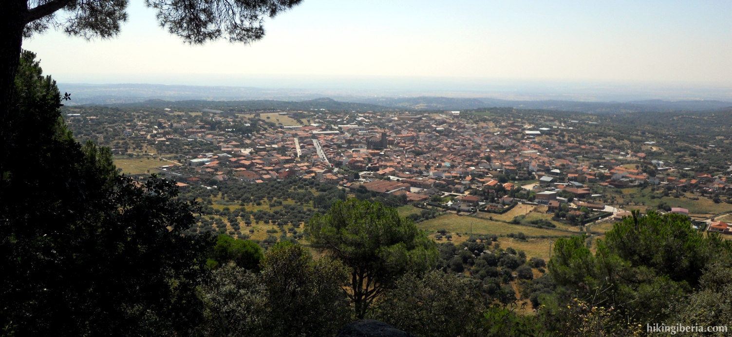
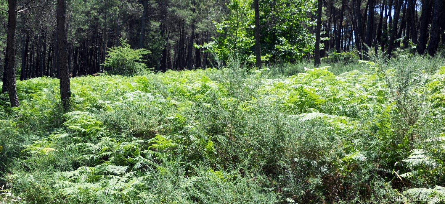
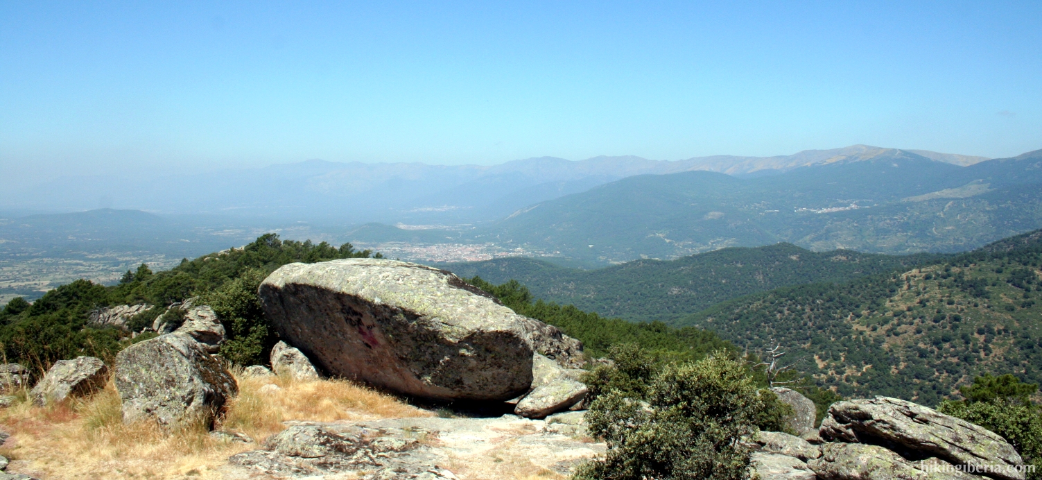
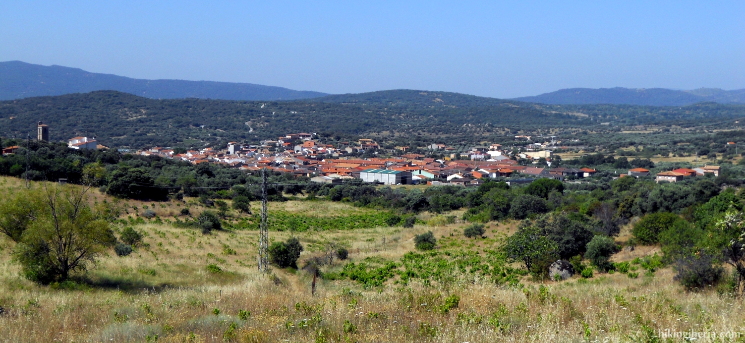
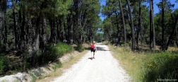
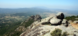
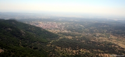
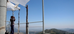
The hike starts through a broad, gradually rising path that gives a view on the valley of Cenicientos. Further on we walk a while through the forest, which does not offer much shadow though because of the width of the trail. The final part is a considerable climb through a small trail through which we reach the Rock of Cenicientos. From this rock you have a splendid view on the entire surroundings, no wonder it is used by the fire lookout. The return is initially through the same route, but later on we follow the route past the small reservoir of the Arroyo de Molinillo.
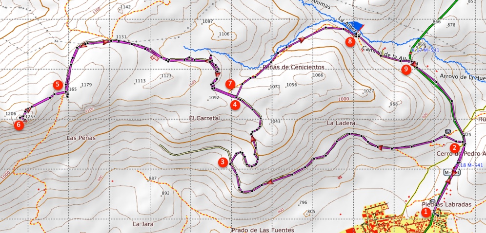
- The hike starts in the village Cenicientos (1). We leave the village walking back in the direction we came from by car, through the M-541.
- After a few hundred metres, at a telecom mast, a path with an information panel of this route starts on the left (2).
- The trail climbs gradually with on the left nice views on the valley of Cenicientos. After about two kilometres we reach a fork (3), where the path is closed with a barrier. We take the path on the right.
- After walking another kilometre, we reach a fork (4) where signposts of the route indicate the direction. Here we continue straight on.
- We continue climbing to finally reach an information panel (5). Here on the rights side starts a narrow trail that leads us to the Rock of Cenicientos.
- After an intense but short climb of about 400 metres we reach the Rock of Cenicientos (in Spanish called "Peña de Cenicientos") (6). From the platform of the building of the fire lookout you have the best views on the surroundings.
- The way back follows the same narrow trail and forest trail, until we reach the fork with the signposts (7). In this case we take the trail to the left.
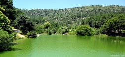
- From here we just have to follow the trail. We come past a small reservoir of the Arroyo de Molinillo (8). The path continues behind this reservoir to go further down past some houses.
- The path ends at the M-541 (9). Here we turn right and walk back along the road to Cenicientos.

 NL
NL  IT
IT  DE
DE  ES
ES  EN
EN 