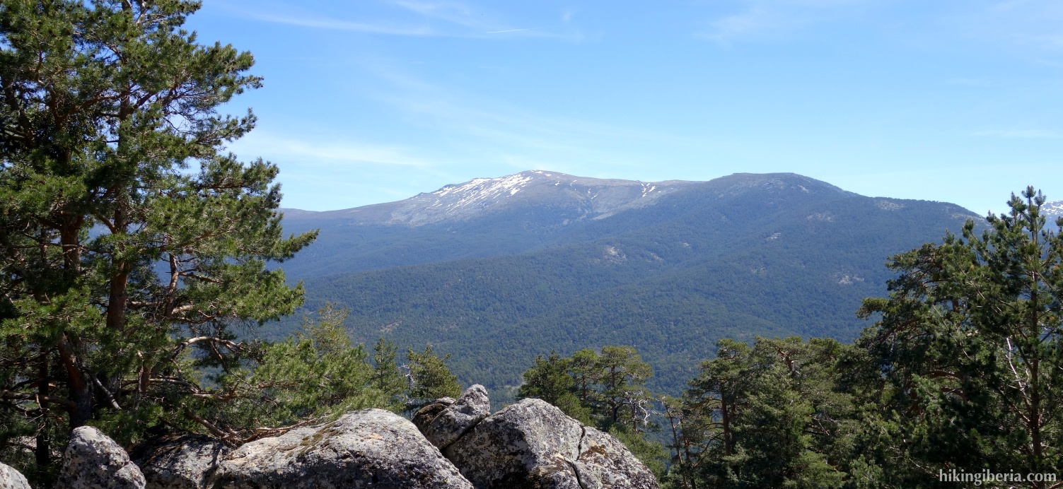
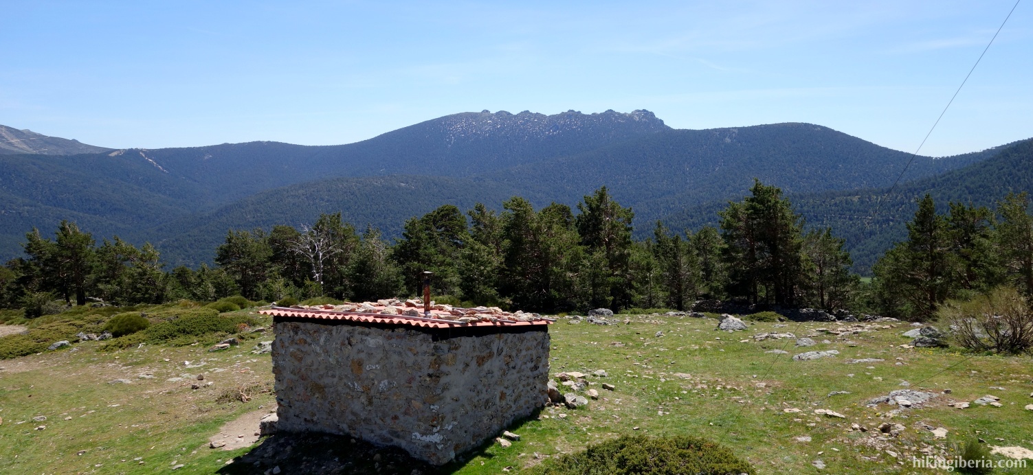
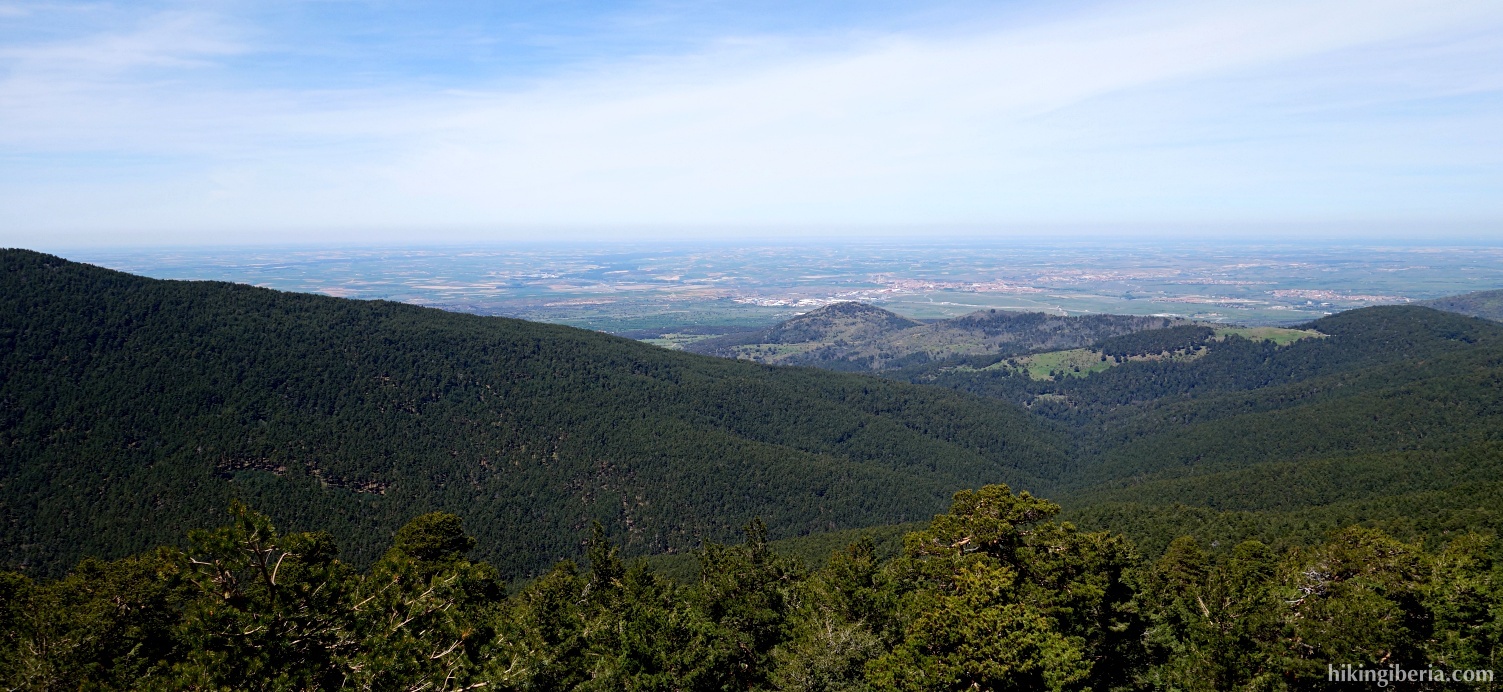
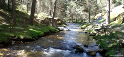
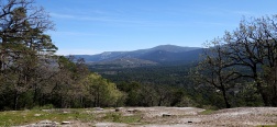
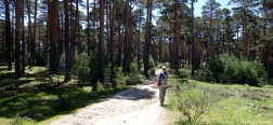
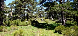
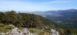
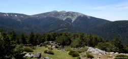
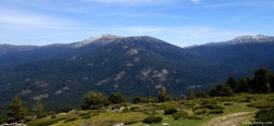
The walk starts from the very popular recreation park Boca de Asno, popular because of the Río Eresma that flows here. As soon however that we leave the path along the Río Eresma, we are much more alone. For those who hike a lot in the Sierra de Guadarrama, this hike is a nice alternative to see the mountains from a different angle, because on this hike we walk on the northwest face. From the Cerro de la Comarca and the Cerro Pelado we also have a nice view on the famous peaks of the Sierra de Guadarrama, like Peñalara, Siete Picos and Bola del Mundo.
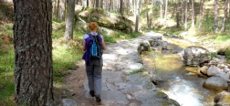
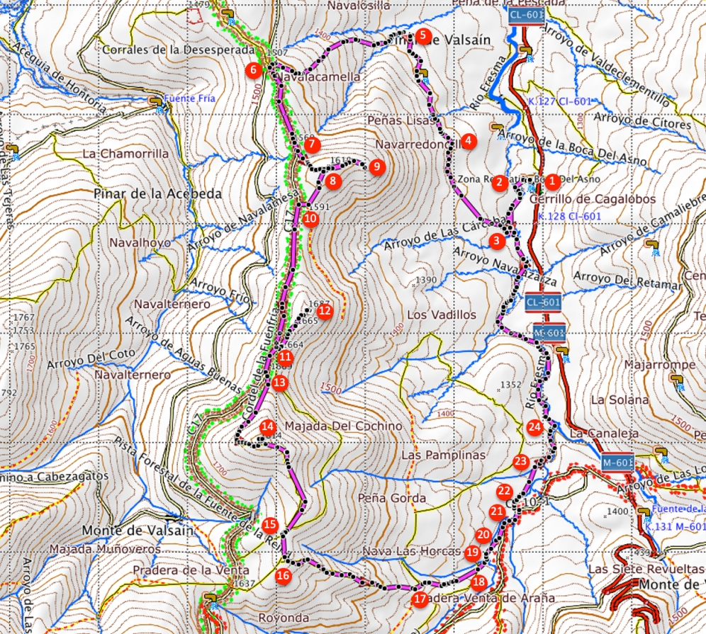
- Walk to the back of the car park (1) and turn left down some stairs towards a bridge over the Río Eresma. At the other side of the bridge (2) turn left. We follow the path along the Río Eresma.
- A few hundred meters further on we come to an orange post with no. 10 on it. At the junction (3) we turn right up, onto a path marked with a white-red post.
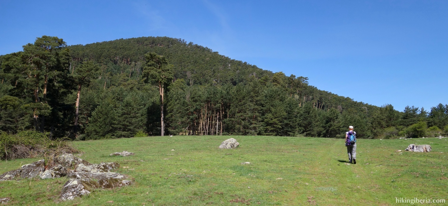
- At the Y-junction we take the path to the left further up. We arrive at a field which we cross via a slightly less visible trace. On the other side of the field we reach a clearly visible trail again.
- The path turns left (4). Here somewhat further on we ignore a path that goes up to the left and continue straight ahead. Further we ignore another side path. Further on, at the fork go left. Further we ignore a side trail on the left and we continue straight ahead on the wide trail.
- We arrive at a crossing of streams (5). We go over the stream and now ascend significantly. At the junction ahead, marked with a milestone , we keep right. This path ultimately at about 1,530 metres ends on an asphalt road (6 , where we still before the asphalt road turn left onto a wide path.
- A little further on we go left leaving the path (7) for a trip to the Cerro Pelado via a wide trail. We pass a junction (8) where we turn left / go straight on to the Cerro Pelado (9). We return from the Cerro Pelado going through the same path and at the fork (8) we now turn left. So we end up on the wide path (10) where we turn left to continue the route.
- We follow the wide path for a while until at the left we see a wide track (11), which is the path to La Camorquilla (12). Through this path we walk to the peak and back again. Once back on the wide path (11), we continue the route to the left.
- A little further on on the left there is a path marked with a bunch of milestones (13), which we take. Through this path we climb the last stretch to the Cerro de la Camorca (14). Once over the top the trail begins to descend. At one point we reach a fork (15) where we take the most visible path straight ahead.
- We must soon take a path left (16), which is easy to miss if you do not pay attention. This path we follow until at about 1,430 meters we reach a wide path where we turn right (17). A little further on (18) we cross a path and we go straight on.
- We cross a small river (19) back onto a paved road where we turn left (20). We follow the asphalt road for a while, go over a bridge and turn left immediately after the bridge (21) off the road onto a narrow path that runs along the water.
- Further on we go over the water via a bridge (22) and on the other side go straight on. Further on we cross a small stream and we keep right (23). Further on, we ignore a bridge on the right and go left (24) onto a path where we walk on the left of the Río Eresma and ignore various side trails and bridges. Via this we return to the park Boca de Asno (1).

 NL
NL  IT
IT  DE
DE  ES
ES  EN
EN 