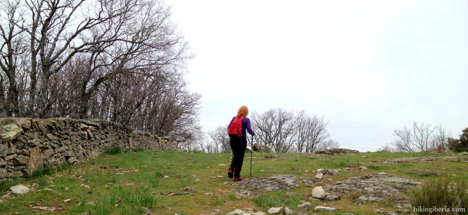
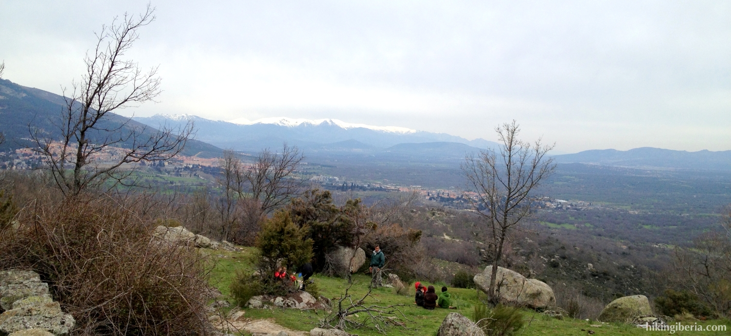
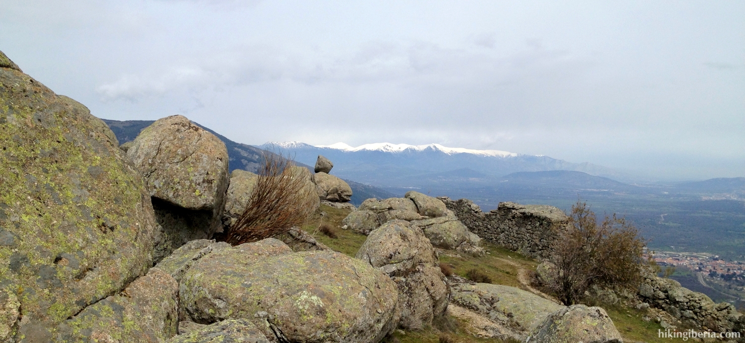
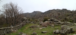
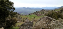
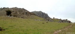
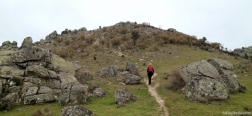
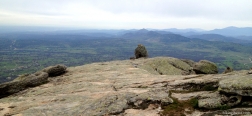
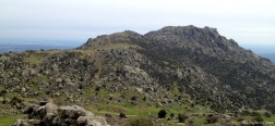
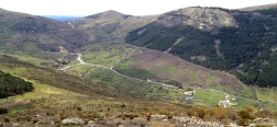
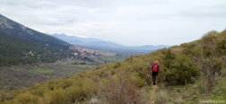
The Machotas (Machota Baja and Machota Alta) are two rocky peaks on the frontier between the Sierra de Guadarrama and the Sierra Oeste de Madrid. During this hike we depart from El Escorial and visit both peaks. Towards the northeast we have a nice view on El Escorial and the monastery palace of San Lorenzo de El Escorial – with on the background the Peñalara – and towards the southwest we can observe the much lower Sierra Oeste de Madrid.
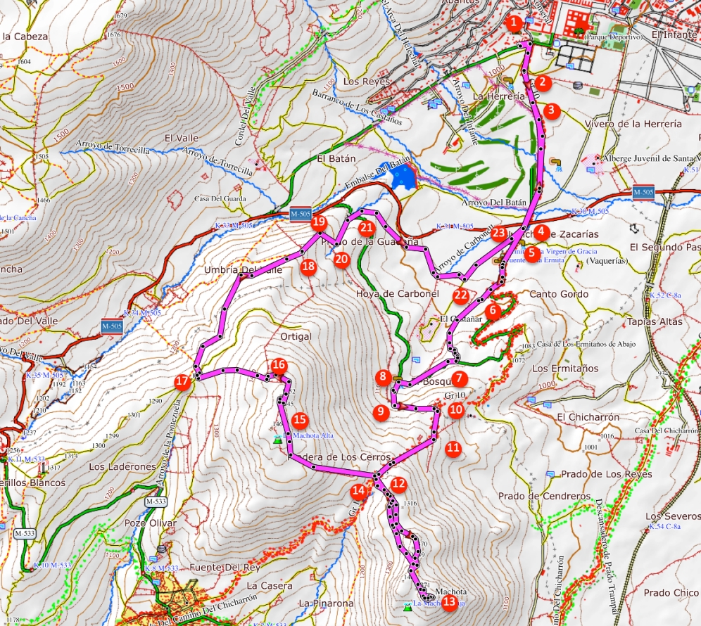
- Cross the Paseo de Carlos III (1) and enter the park across the street. At the first fork of paths (2) keep left and further on where a path joins from the right (3) keep left again. Now follow this wide path until the end of the park, which will bring you at the asphalt road M-505 (4).
- At the other side of the M-505 we now walk on an asphalt road that quickly forks (5). We keep left here (signposted with Silla de Felipe II). We keep following this road for a while until it turns to the left in a bend. In this bend on the right behind a wooden barrier lies a trail (6) that we need to take. This trail directly terminates on a narrower trail, where we turn left.
- Further on where at the left a trail forks, we keep straight on, further uphill. There where the trail splits between the rocks, we keep left, further uphill. Through this trail we eventually arrive at an asphalt road (7), where we turn right. We follow this road a couple of minutes until we reach a well at the left, the “Fuente de la Reina” (8). Here starts a narrow trail uphill, following the course of a brooklet.
- This trail eventually ends at a wall (9) over which we climb. Behind the wall this trail continues and almost directly ends at another trail, where we turn left. We now walk parallel to a low brick wall, until we reach another wall (10). Here we turn right. At the other side of the wall runs a wider trail, the GR-10, which further on via a swing gate (11) joins our trail.
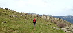
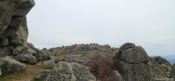
- This path now goes to the right uphill and we follow it until we reach a crest with a junction (12). We now first go left here, to the Machota Baja. The path to the Machota Baja is marked with various milestones, and runs between big boulders. Once at the Machota Baja (13) we take the same route back. It is also possible to keep a bit more to the left on the way back, via another trail. In both cases we will return to the crest (14), where we turn left, towards the Machota Alta.
- The path to the Machota Alta runs parallel to a small wall on our left hand. After the peak of the Machota Alta (15) this wall continues. We now turn to the left, with the brick wall still on our left hand, until we hit another wall (16). We go over it and now start to descend heavily, now with a low brick wall on our right hand. A bit further on we go over this wall, to continue the trail at the other side of it.
- After the descent we reach a fencing (17) where we turn right. Make sure to take the path that lies just a bit further downhill and do not take immediately the first path on the right. We now follow this path for a while and start getting El Escorial in front of us. Eventually we get at a small brick wall (18). We go over this wall and make sure that we walk on the left side of this wall, which is square with the wall over which we just climbed.
- A bit further downhill we hit another wall (19) again, over which we climb. We now turn right, descend a bit further and reach another trail (20). Here we turn left and quickly reach a dirt road (21). Across this road on the right we take a narrow trail that starts here.
- We now follow this trail for a while until we reach a T-junction with another path (22). Here we turn left.
- Via this path we eventually reach the asphalt road on which we already walked at the beginning of the hike (23). We continue straight on, cross the M-505 again, and walk back to the Monasterio de San Lorenzo through the park via the same route as on the way out.

 NL
NL  IT
IT  DE
DE  ES
ES  EN
EN 