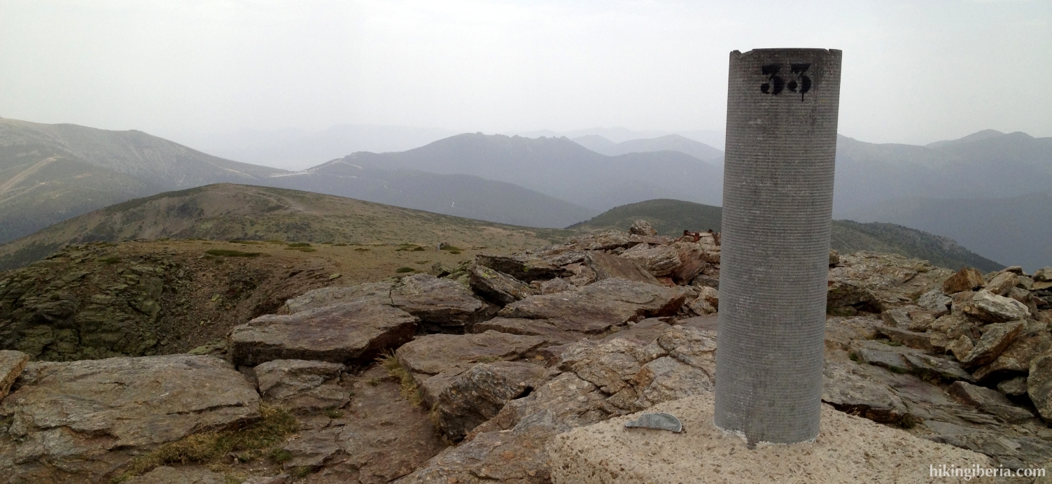
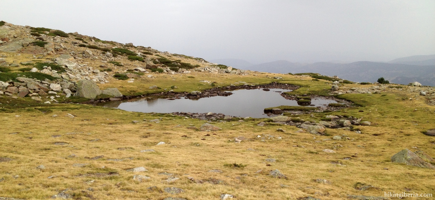
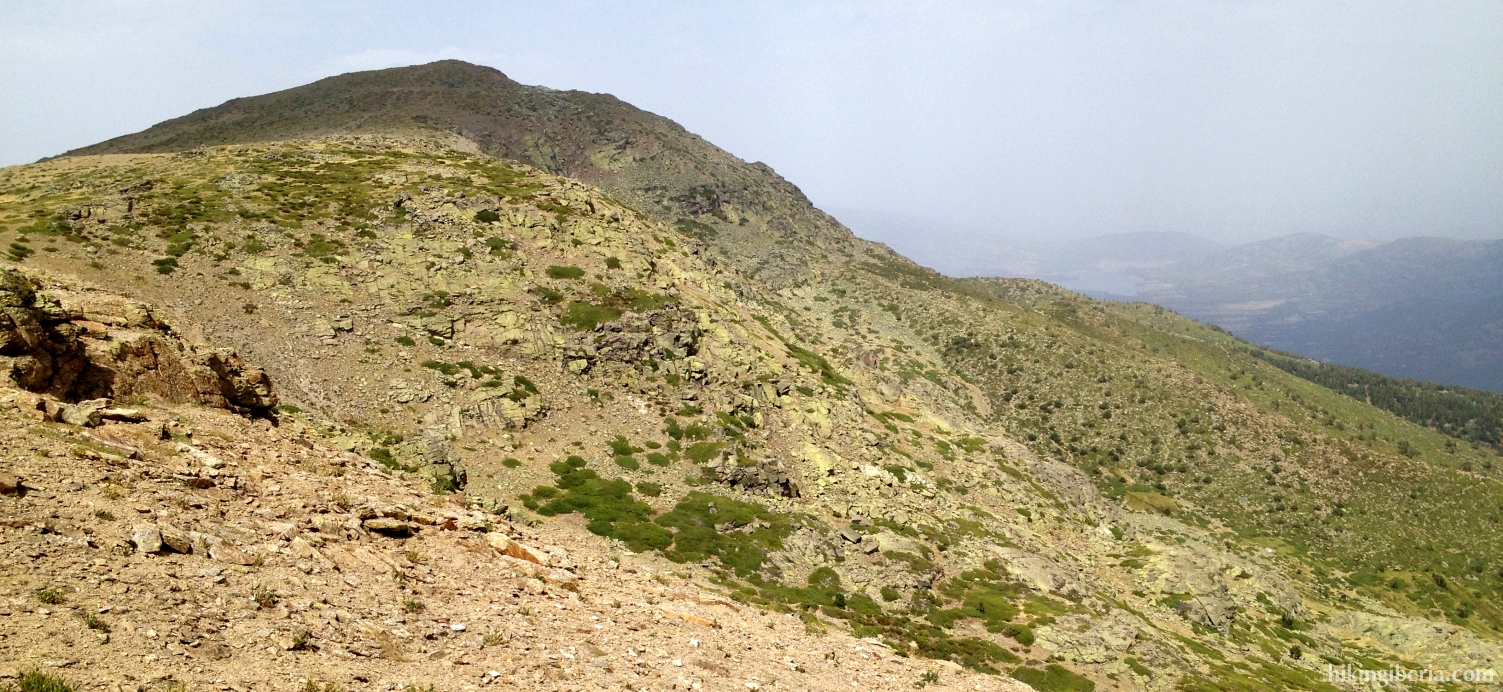
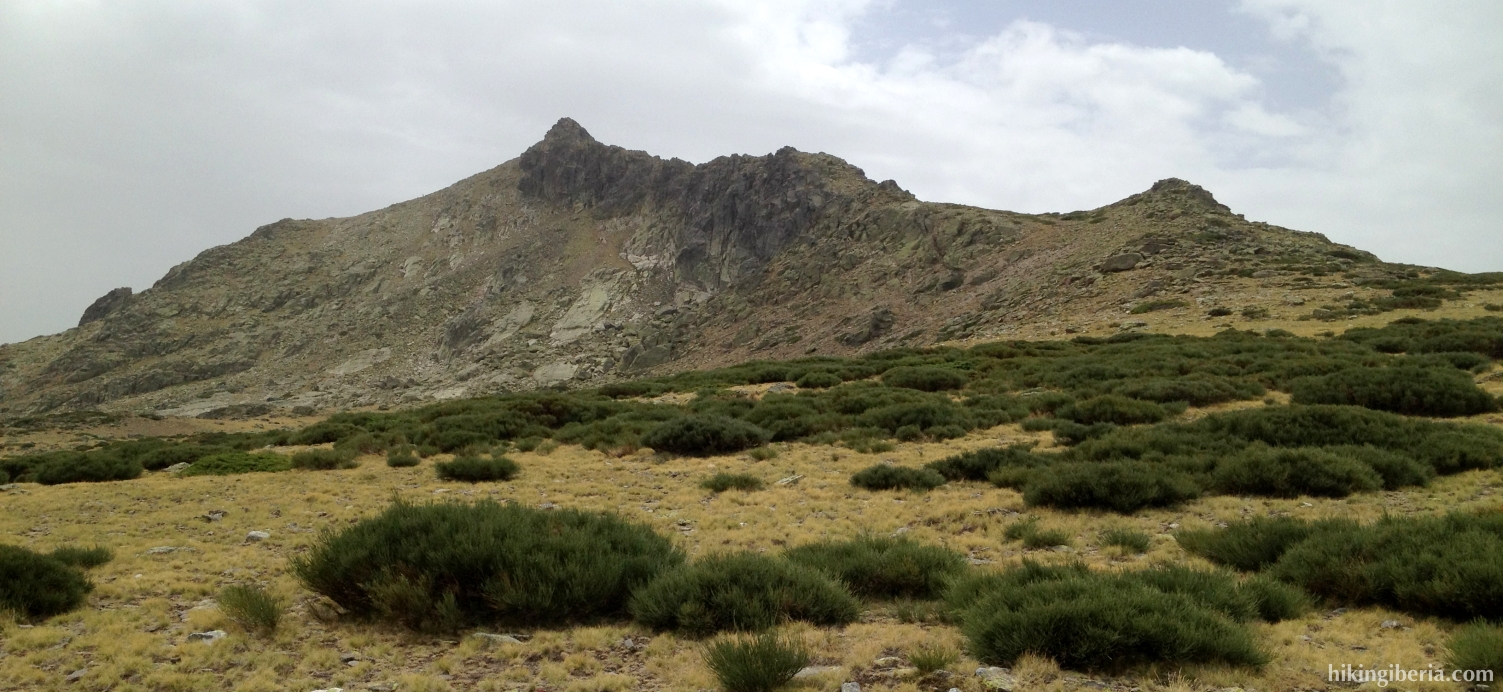
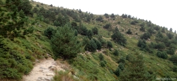
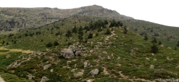
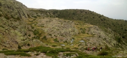
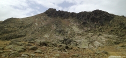
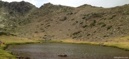
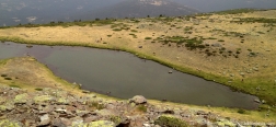
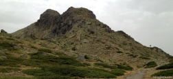
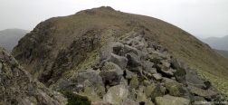
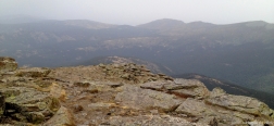
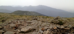
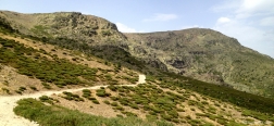
Peñalara is with 2,428 metres altitude the highest mountain of the province of Madrid and one of the most important peaks of the Sierra de Madrid. The hike does not take the most direct route from Cotos but takes us past a couple of small lakes - Cinco Lagunas and Laguna de los Pájaros – to the Puerto de los Neveros, from where we start the steepest ascent: via the Risco de los Claveles to the Peñalara. The hike is one of the most spectacular of the mountains in Madrid; not only because of the altitude but also because of the remarkable landscape of lakes and greenish rock faces. The last part of the ascent of the Peñalara is hard because there is no trail and we need to clamber over the rocks.
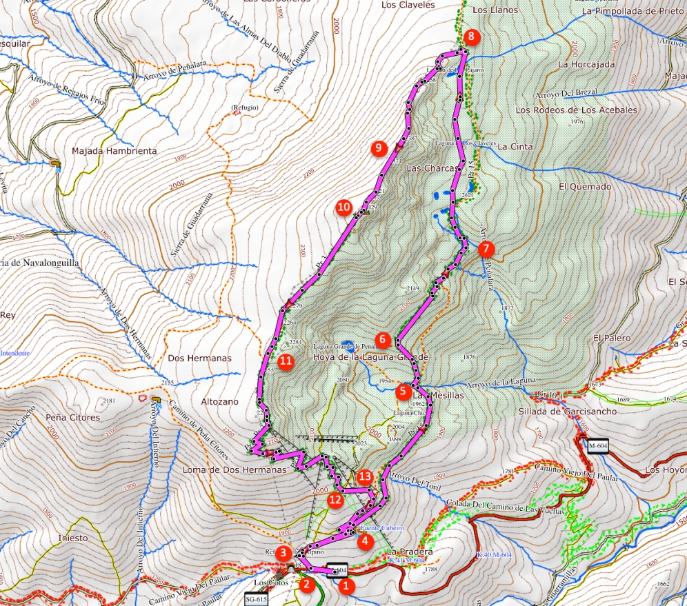
- From the car park (1) we first walk a stretch back along the road in the direction of Puerto de Navacerrada. At the first trail on the right side of the road, at a wooden fence (2), we take the left trail over the wooden sleepers, which is signposted with “otras rutas”. This trail ends at the building of the alpine club (3), where we go right onto the brick road, which further on changes into a dirt road into the forest.
- Just past the bend (4), on the right side of the road, lies a building (Cobertizo del Depósito) with information about the nature park Peñalara. Here we turn right, following the signpost RP4 / Laguna de Peñalara. We now follow this trail for quite some time until we get at a junction with a small bridge (5). Optionally we can go straight on for an excursion to the Laguna de Peñalara, but our route turns right here over the bridge, towards the Laguna de los Pájaros (RP4). We now walk on a very nice trail with in front of us the summit of Peñalara, climbing heavily. Halfway at a junction (6) we turn right though, still following the signposts towards RP4 / Laguna de los Pájaros.
- After a while, above this trail at a big pile of stones (7), we turn left downhill towards the small lakes Cinco Lagunas. The direction is still marked with “Laguna de los Pájaros”. We follow this trail - marked with milestones – quite some time, passing the five lakes (Cinco Lagunas) until we eventually reach the bigger lake Laguna de los Pájaros (8). Just past it (still before the Puerto de los Neveros) we leave the path turning to the left, onto the crest towards the Risco de los Claveles and Peñalara. During some time there is no visible trail, but quickly we will find the milestones of the trail. Further on, close to the Risco de los Claveles, the path regularly has white-yellow marks on the rocks.
- This path, which on occasions ascends heavily, brings us past the Risco de los Claveles (9). From here we have to clamber a stretch over the rocks and boulders, as there is no trail. Past these rocks a trail originates and we see a signpost that indicates we need to walk another 15 minutes to Peñalara. From the summit of Peñalara (10) we continue our route straight on, immediately descending. We now walk on the RP1, which is sometimes signposted and sometimes marked with milestones. After quite some time having walked on this trail, we encounter a side-trail on the right (11), but we keep left downhill, following the RP1.
- We now get at a wide trail from which we can quickly discern the car park down in the valley, to which we descend rapidly through a number of hairpin bends. At a T-junction (12) we follow the RP1 to the right further downhill. A bit further on at a Y-junction (13) a path joins our trail from the left, where we keep straight on. Further on we ignore a side-trail. We now walk past the small building with the information of the nature park again (4). From here we walk back to the car park through the same trail as on the way out.

 NL
NL  IT
IT  DE
DE  ES
ES  EN
EN 