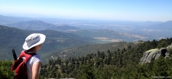
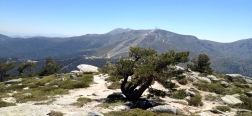
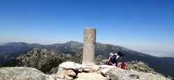
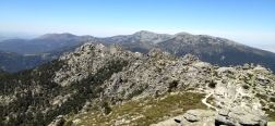
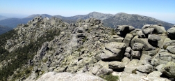
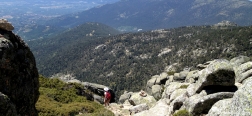
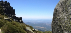
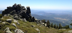
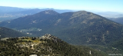
Siete Picos (“Seven Peaks”) is one of the most visited areas of the Sierra de Guadarrama, because of its location near the Puerto de Navacerrada and its attractive character, as you can visit seven rocky peaks in a relatively short period of time. On this variant of the route we return via the south face, via the Senda de los Herreros. This trail gives a nice view on the south side of the Sierra de Guadarrama but is unfortunately a bit overgrown on a number of spots, which complicates the orientation.
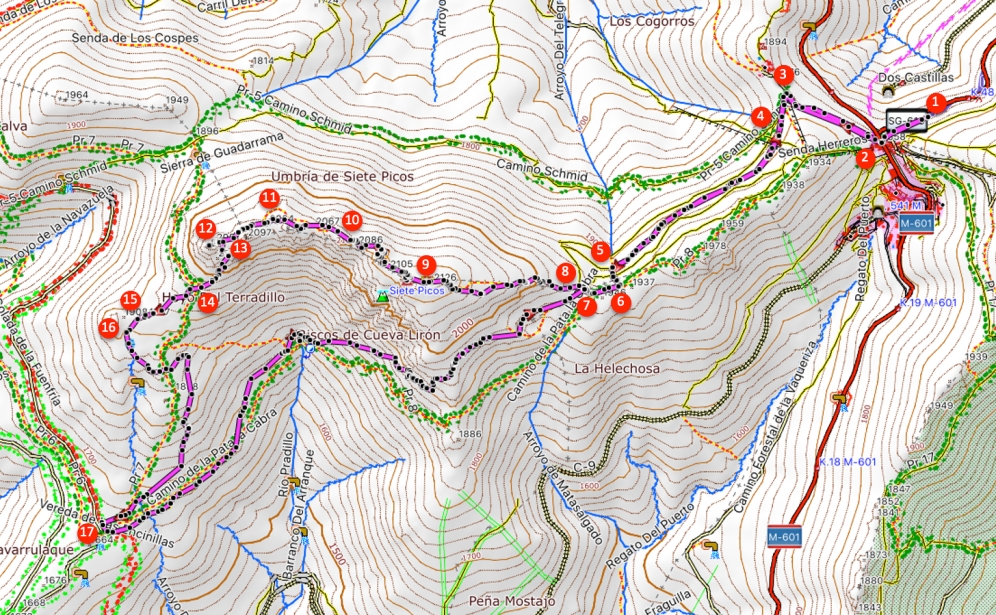
- From the car park (1) along the C-604 to Rascafría we walk back to the Puerto de Navacerrada (2). Here we go to the right past the shops and restaurants uphill onto an asphalt road. Just before the old military residence Los Cogorros (3) we turn left, signposted as Camino Schmid.
- Almost immediately we turn left onto the first narrow trail uphill (4), marked with red dots. Eventually at a Y-junction (5) we turn left uphill, thus leaving the trail marked with red dots. We cross another trail where we continue straight on and eventually reach another trail (6). Here we turn right, onto a trail that is marked with milestones.
- A bit further on at a rock (7) lies a trail on the left, but we keep right, past the rock. At the next fork we continue straight on and thus ignore the trail on the left. Directly behind it at a fork (8) we now do turn left, uphill via a rocky trail.
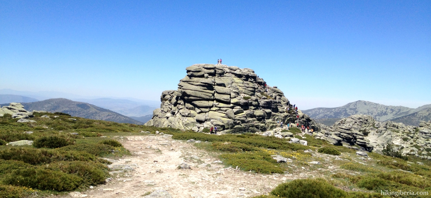
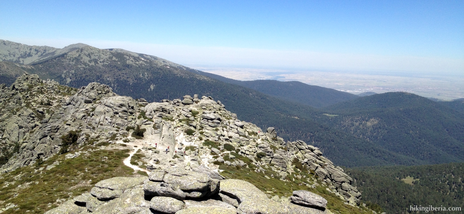
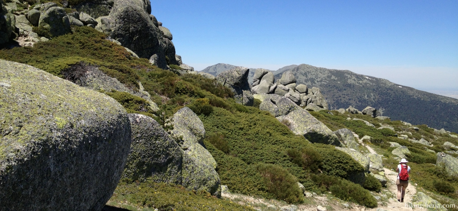
- Via milestones we follow this trail, which brings us to the seventh peak (“Séptimo Pico”) (9) of the Siete Picos. After this peak we further follow the milestones between the rocks over the crest of these seven peaks. On the way to the sixth peak take care to keep right, without walking away from the crest.
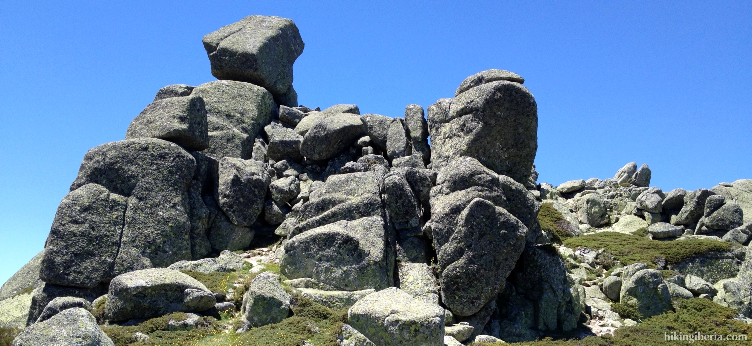
- At the sixth peak (10) make sure to keep left against the mountain and thus do not take a trail on the right that runs downhill into the valley. Here you need to walk past a bunch of big boulders, after which you can quickly discern in front of you the trail over the crest again, marked with milestones.
- Also further on at a fork of trails (11) we keep left and thus stay on the crest and follow the trail that is marked with milestones. Thus we do not turn to the right downhill towards the valley.
- When we keep following this trail we arrive at the second peak (“Segundo Pico”) of the Siete Picos, a high peak with big rock masses (12). Once on this peak do not go straight on downhill on the steep trail, but return a short stretch. Now just past the rock masses (13) we go right downhill. Further on we need to make sure we keep slightly left.
- We now start to heavily descend and reach another trail (14), where we on a sort of Y-junction turn right, further downhill. We now reach a path (15) with in front of us the first peak (“Primer Pico”) and behind it the second peak of the Siete Picos, the one we stood on before. A few dozen meters further on at theleft we see a trail that takes us down (16) and further on is marked white-yellow (PR-7).
- At the end of the PR-7 we reach a field, the Pradera de Navarrulaque (17). Behind this lies a dirt road that we ignore, because we take the most left path, the PR-8, also marked white-yellow, also named the Senda de los Herreros.
- We now keep following this path for quite some time. On some spots it is very overgrown, hard to locate and pretty steep uphill. All the time we follow the white-yellow marking and milestones. After a long time we reach the rock (7) that we passed before and continue straight on.
- Further on turn left onto the trail on which we walked before (6), then first cross another trail and then turn right (5), through the same route as on the way out. We now follow this path until we reach the residence Los Cogorros (3) again. We now turn right here and follow the asphalt road back to the Puerto de Navacerrada (2).

 NL
NL  IT
IT  DE
DE  ES
ES  EN
EN 