 NL
NL  IT
IT  DE
DE  ES
ES  EN
EN 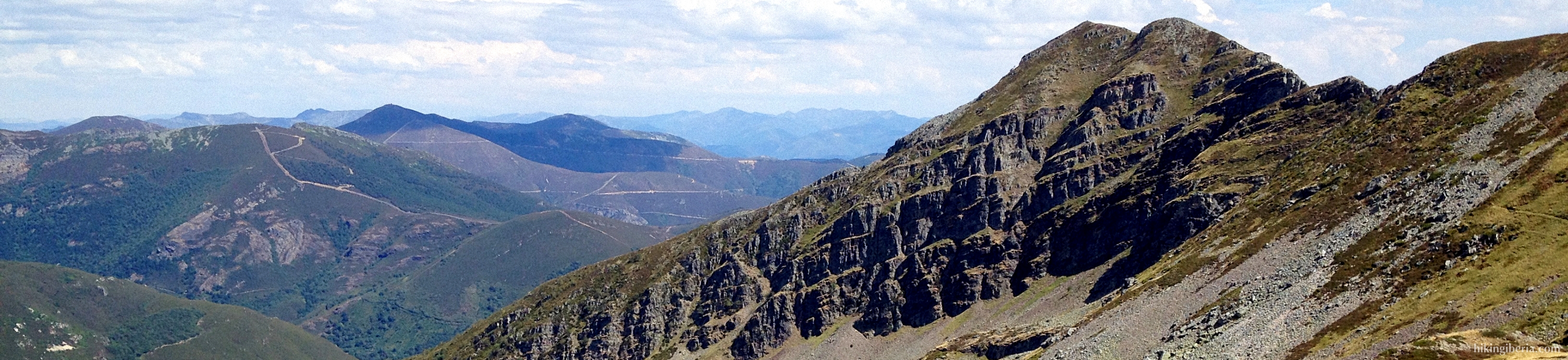

Sierra de Ancares
The Sierra de Ancares is the western end of the Cantabrian Mountains and the eastern end of the Galician-Leonese Massif. It is located in the northwest of the province of León and partly in Lugo, and forms the frontier between Galicia, Asturias and Castilla y León. It is a protected area and in 2006 it was declared a Biosphere Reserve by Unesco.
This part of the Cantabrian Mountains is less known than some other parts of this mountain range and has long remained isolated from the outside world. Because of this, old traditional customs and architecture have preserved with cultural-historical value for the Iberian Peninsula and Europe. The most striking example is the palloza, a circular or oval thatched cottage of Celtic origin, which can still be seen in various places in this area, like in the villages of El Cebrero, Piornedo, Balouta, Balboa or Campo del Agua.
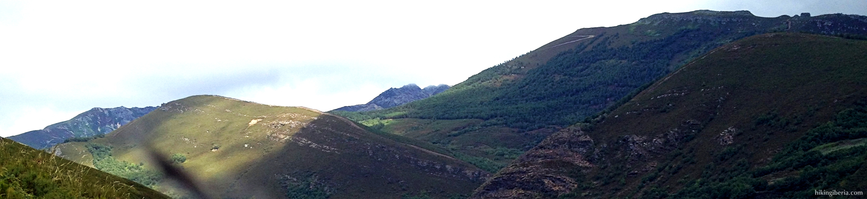
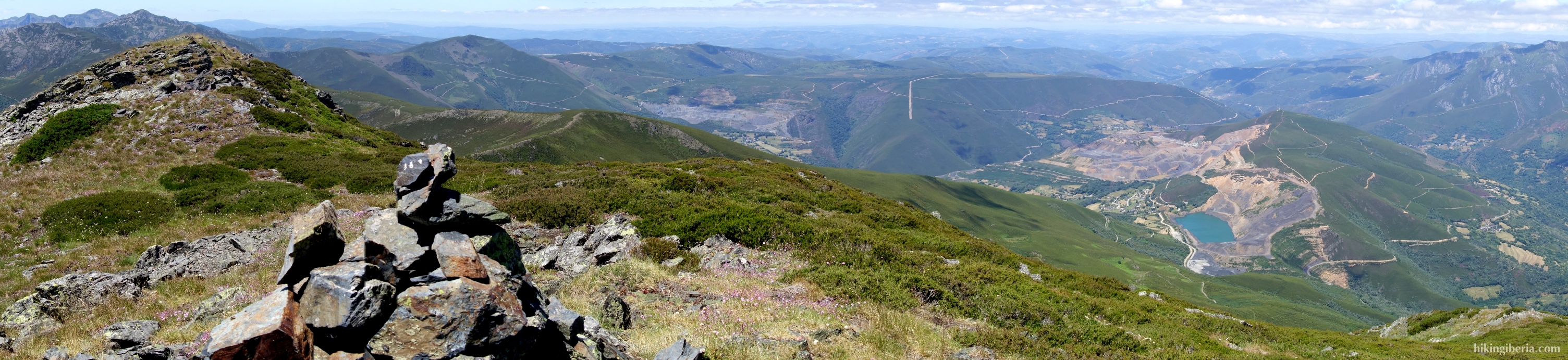
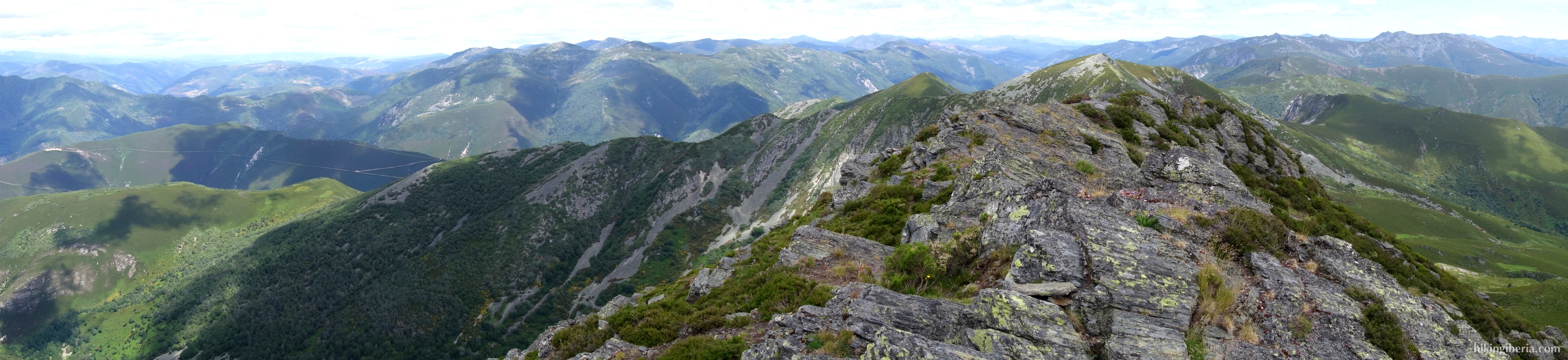
The landscape is characterized by mountains and valleys, where higher in the mountains we see cirques and lakes formed by glaciers during the Ice Age. The valley was formed by the erosion of the river Ancares, which is a tributary of the river Cúa. It is a medium-high mountain range with peaks of just under 2,000 metres, with the highest point the Pico Cuiña at 1,987 metres. Although the mountains are not so high, at the higher elevations we see spectacular rock formations from where we have wonderful views over the valley of Ancares and towards Galicia and Asturias. The vegetation in the mountains is dominated by birch and above the mountains we often can see the eagle circling.